Download
3D Flyover
Add to list
More
9.5 km
~2 hrs 42 min
482 m
Loop
“From whispering pinewoods to a wind-brushed summit, this Cairngorms circuit feels intimate yet grand.”
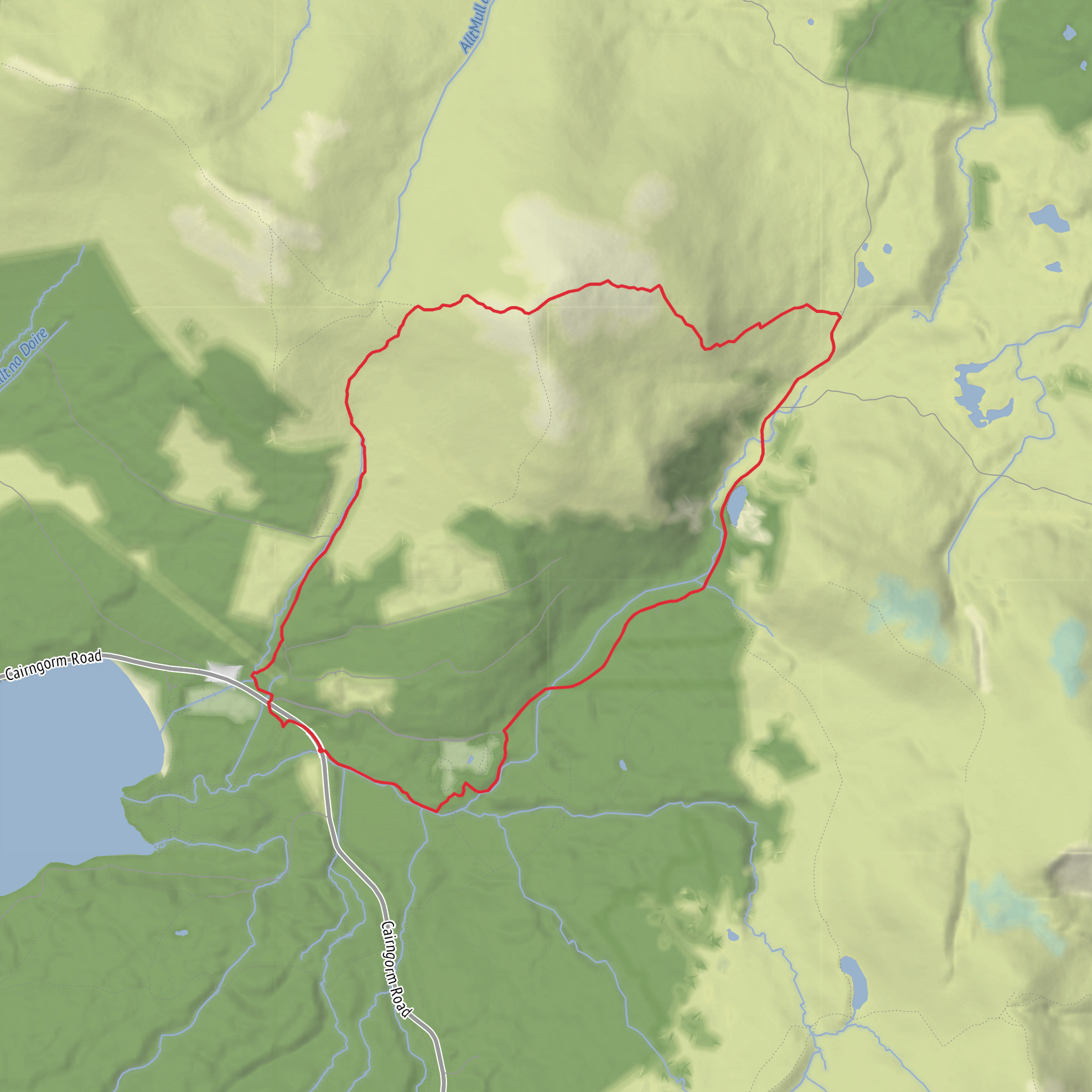
This is a compact Cairngorms hillwalk of about 9 km / 5.6 miles with roughly 500 m / 1,640 ft of ascent, starting near Glenmore Visitor Centre, Glenmore, Aviemore PH22 1QU, beside the B970 in Glenmore Forest Park. The usual line heads out from the Glenmore area on clear forest and hill paths, climbs through Coire Chondlaich, reaches the broad summit of Meall a’ Bhuachaille, then returns by a circuit that gives a fine mix of woodland, open moor, and big mountain views. It is generally rated medium, but that can feel harder in wind, rain, or poor visibility because the upper mountain is exposed and the route is not waymarked once you leave the lower forest paths. (walkhighlands.co.uk)
From the start, the route quickly leaves the busy roadside and enters the characteristically airy pinewoods of Glenmore. The lower section is usually the most straightforward underfoot, with established paths and a steady rather than abrupt climb. As height is gained, the trees begin to thin and the route opens into the corrie landscape of Coire Chondlaich, where the terrain becomes more obviously upland: stonier, more exposed, and much more affected by weather. This is where the walk starts to feel like a true hill day rather than a forest outing. Expect the gradient to build gradually, with the main effort concentrated in the climb from the forest edge up toward the bealach and summit ridge. (walkhighlands.co.uk)
What to expect on the climb
The ascent through Coire Chondlaich is the heart of the walk. The path rises steadily toward the col between Meall a’ Bhuachaille and Creagan Gorm, and from here the final pull to the summit is comparatively short. Although the total distance is modest, the climb is continuous enough that it deserves proper hill footwear, spare layers, and careful weather planning. In dry conditions the route is a very manageable introduction to Cairngorm hillwalking; in mist, the broad upper slopes can feel much more serious, especially when snow patches, ice, or strong winds are present. Using HiiKER to follow the route is a sensible precaution, particularly for the open upper section where paths can be less distinct than they first appear. (walkhighlands.co.uk)
The summit itself stands at 810 m / 2,657 ft and is one of the most rewarding viewpoints for the effort involved. On a clear day, hikers can expect wide views over Abernethy Forest, the Northern Cairngorms, Loch Morlich, and the surrounding glens. The hill’s position on the edge of the main massif gives it a particularly open outlook, so it often feels bigger and more dramatic than its height alone suggests. Wind exposure can be severe here, so summit stops are often brief outside calm summer weather. (walkhighlands.co.uk)
Landmarks, landscape, and wildlife
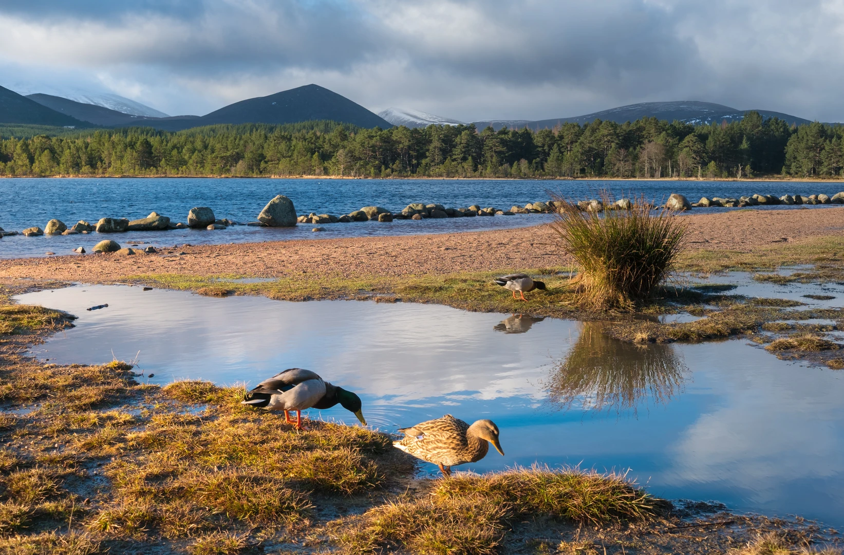
One of the standout features of this route is the contrast between the ancient-looking Caledonian pine forest below and the open, heathery mountain above. Glenmore sits within the wider Cairngorms landscape, and the views northeast over Abernethy Forest are especially notable because this is the largest area of native forest in the UK. That gives the walk a strong sense of transition: from woodland habitat into moorland and corrie terrain, then onto a rounded summit with expansive panoramas. (walkhighlands.co.uk)
Wildlife interest is high throughout the area. In the forest and around the lower slopes, hikers should keep an eye out for red squirrels, crested tits, and other species associated with the remnant Caledonian pinewoods. Higher up, the open ground can support mountain birds such as meadow pipits and, depending on season and luck, raptors overhead. Deer are also a regular presence in the wider Glenmore and Cairngorms area. As always in sensitive upland habitats, it helps to keep dogs under close control and give wildlife plenty of space. (forestryandland.gov.scot)
The name Meall a’ Bhuachaille is commonly translated as “hill of the shepherd” or “hill of the herdsman,” a reminder that these landscapes were shaped not only by geology and climate but also by long pastoral use. The wider Glenmore and Strathspey region has deep historical ties to Highland land use, estate management, forestry, and travel through the Cairngorm passes. Today’s paths sit within a landscape that has long been used for moving people, livestock, and goods between glens, while modern conservation work now plays a major role in protecting both the forest and upl
Surfaces
Unknown
Gravel
Asphalt
Dirt
Paved
Comments and Reviews
User comments, reviews and discussions about the Meall a' Bhuachaille and Coire Chondlaich in Glenmore Forest Park, Scotland.
average rating out of 5
0 rating(s)
