Download
3D Flyover
Add to list
More
7.6 km
~1 hrs 52 min
220 m
Out and Back
“Wild lochans and ancient rock make this moorland wander feel far bigger than it looks.”
This is a compact but rewarding Highland outing of about 8 km / 5 miles with roughly 200 m / 656 ft of ascent, starting near Loch Lurgainn in the Assynt area of the north-west Highlands of Scotland. With a medium difficulty rating, it suits walkers who are comfortable on rough, often pathless ground and who do not mind wet sections, uneven footing, and the need for careful route-finding. Although the distance is modest, the terrain can make it feel more serious than the numbers suggest, especially in poor visibility.
The route explores a striking landscape of lochans, peat, rock, and open moor beneath some of Assynt’s most distinctive hills. Rather than a heavily engineered trail, this is the kind of walk where preparation matters: waterproof footwear, weatherproof layers, and confident navigation are important. If visibility drops, the loch-dotted terrain can become confusing, so carrying HiiKER for route guidance is especially useful here.
Getting to the start
The walk begins near Loch Lurgainn, close to the Knockan Crag / Elphin area in Assynt, Sutherland, in the Scottish Highlands. The nearest widely recognised landmark is Knockan Crag National Nature Reserve, near Elphin, Lairg IV27 4HH, which is one of the best-known access points in this part of Assynt and a practical reference for drivers. Depending on the exact line of the walk, parking is typically from roadside lay-bys or small informal parking areas near the reserve and the minor roads around Loch Lurgainn.
By car, the usual approach is via the A837, which links Ledmore, Inchnadamph, and Lochinver, then onto the local roads toward Knockan Crag and Loch Lurgainn. Roads in this region are often single track with passing places, so allow extra time and drive carefully.
By public transport, options are limited and require planning. The nearest bus-served settlements are usually Lochinver and sometimes points on the Ullapool–Lairg corridor, but services in Assynt are infrequent and seasonal changes are common. In practice, many walkers combine a bus journey with a taxi for the final stretch. If relying on public transport, check current Highland bus timetables well in advance and be prepared for a long walk or transfer to the trailhead.
The nearest larger service centres for supplies, fuel, and accommodation are Lochinver and Ullapool, while Elphin is a useful local landmark rather than a full-service village.
The ground near the start is typical of Assynt: open, exposed, and immediately scenic, with water, rock, and broad views setting the tone from the outset.
What to expect on the route
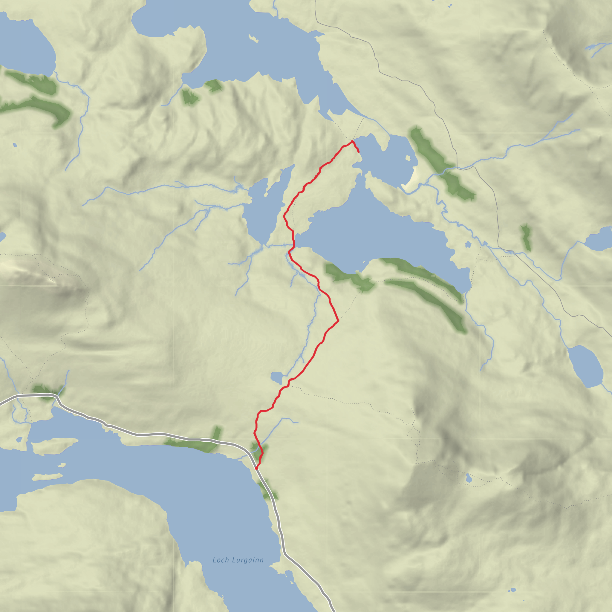
From Loch Lurgainn, the route heads into a wild, open basin of moorland and scattered lochs. The first section is usually the easiest going, with gentle gradients and a chance to settle into the walk. Elevation gain is spread fairly gradually across the outing, but the surface underfoot is the real challenge. Expect a mix of faint trods, boggy patches, heather, peat hags, and stony ground rather than a continuous built path.
Within the first 1 to 2 km / 0.6 to 1.2 miles, the landscape opens beautifully, with the water bodies becoming the main navigational features. Loch Lon na h-Uamha and Loch an Doire Dhuibh sit in a classic Assynt setting where the terrain feels both spacious and intricate. The route is not especially high, but the low-relief complexity of the ground means attention is needed at junctions of loch shore, marsh, and rock slabs.
As the walk progresses, there are gentle rises totaling around 200 m / 656 ft, enough to create changing perspectives over the lochs and toward the surrounding hills. The ascent is not usually sustained in a mountain sense, but short steeper pulls and rough ground can slow progress. In dry weather, the route feels like a peaceful moorland circuit; after rain, it can become much wetter and more tiring.
The middle part of the walk is often the most memorable, where the lochs feel more remote and the sense of isolation deepens. This is where many hikers pause to take in the contrast between dark water, pale rock, and the dramatic silhouettes of Assynt’s famous peaks in the distance.
Landmarks and scenery
Loch Lurgainn itself is a notable feature, set among some of the most geologically remarkable scenery in Scotland. The surrounding landscape is shaped by ancient Lewisian gneiss, among the oldest rocks in Europe, giving the area its distinctive knobbly, hummocky texture. That geology is a major reason the route feels so visually unusual: instead of broad smooth slopes, the land is broken into ridges, hollows, and water-filled basins.
Loch Lon na h-Uamha and Loch an Doire Dhuibh are quieter, less visited waters that add to the route’s remote character. Their shorelines can be irregular and marshy, and in calm weather they often reflect the surrounding hills and sky with remarkable clarity. The names themselves reflect the Gaelic heritage of the region, tying the landscape to a long tradition of place-naming based on natural features.
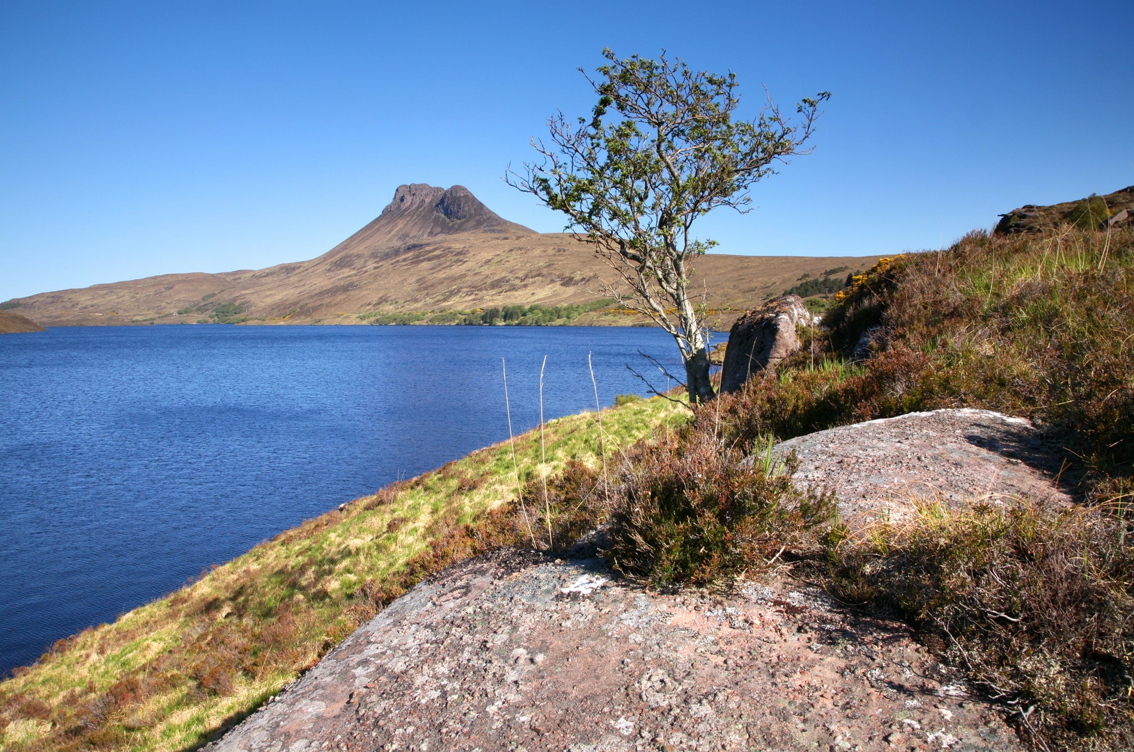
Depending on the exact line and weather, there may be views toward some of Assynt’s iconic mountains, including Suilven, Canisp, Cul Mòr, and Cul Beag. Even when these peaks are not directly on the route, they often dominate the skyline and give the walk a much bigger feel than its modest distance suggests.
Terrain, difficulty, and route-finding
Although rated medium, this walk is best
Comments and Reviews
User comments, reviews and discussions about the Loch Lon na h-Uamha and Loch an Doire Dhuibh from Loch Lurgainn, Scotland.
average rating out of 5
0 rating(s)
