Download
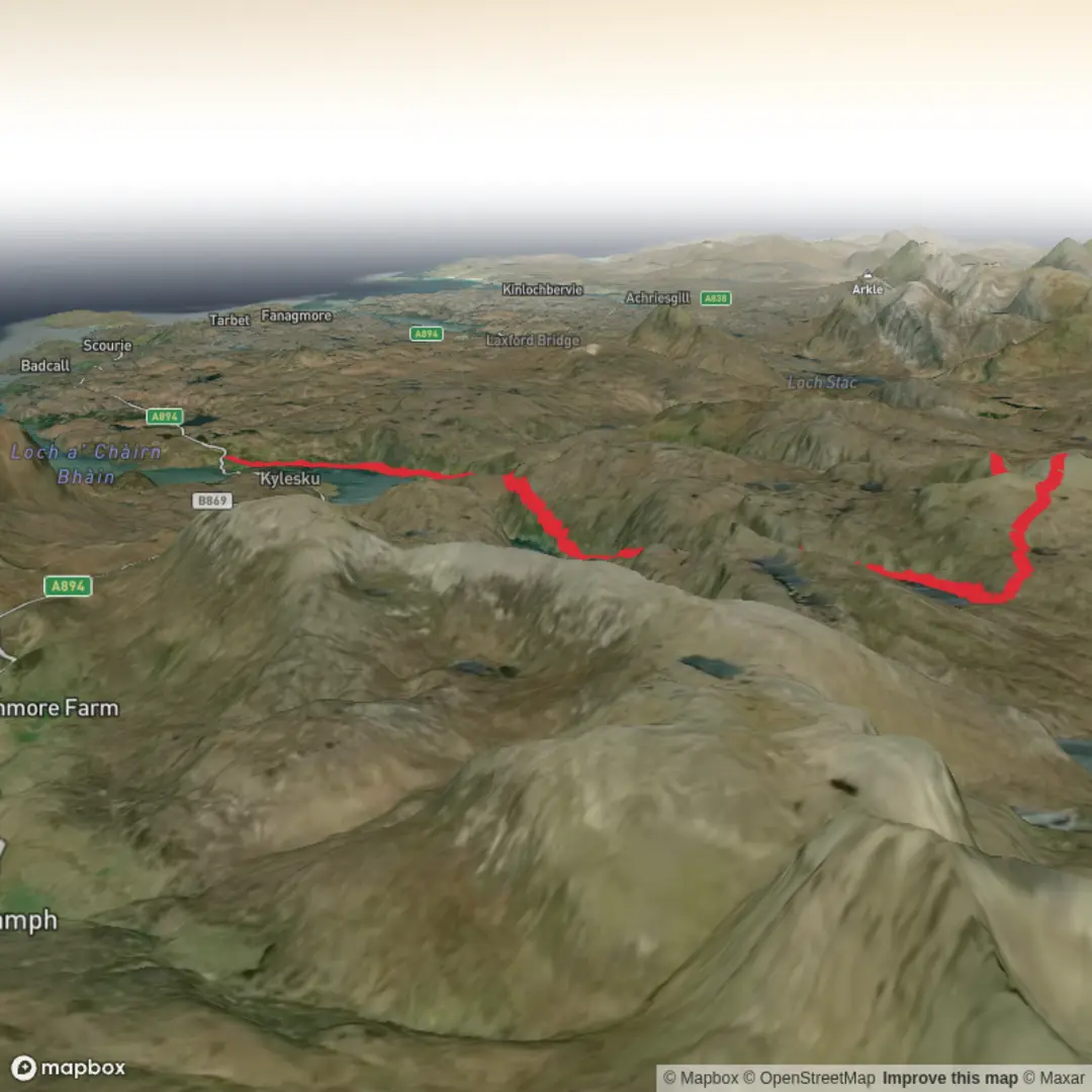
3D Flyover
Add to list
More
36.6 km
~2 days
1190 m
Point-to-Point
“A grand, lonely Highland circuit where vast moorland, wild lochs and Beinn Leoid demand respect.”
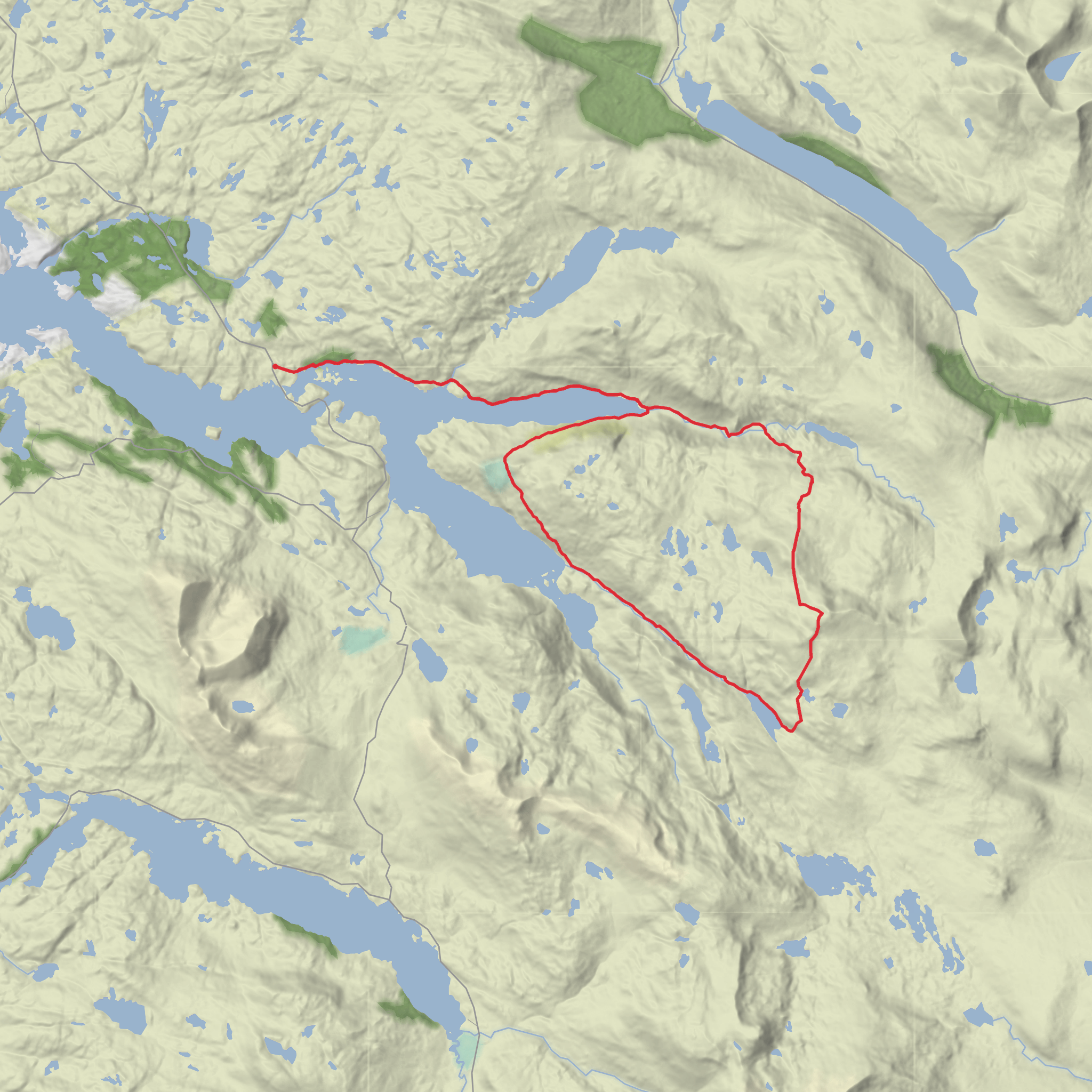
This is a long, remote Highland circuit with a serious feel despite the estimated medium rating. At around 37 km / 23 miles with roughly 1,200 m / 3,940 ft of ascent, it is better thought of as an all-day mountain outing for strong, self-sufficient hikers than as a casual loop. The terrain around Loch Glencoul, Glen Dubh, Beinn Leoid and Loch an Eircill is wild, open and often pathless in places, with long stretches where the landscape feels empty and committing. Beinn Leoid itself rises to 792 m / 2,598 ft and sits in a notably isolated position east of Kylesku, above the moorland between Loch Merkland and Loch Glencoul. (walkhighlands.co.uk)
The start is best described as being near Loch More on the A838, east of Kylesku, which is the most useful road access point for Beinn Leoid and the surrounding stalkers’ paths. The mountain’s mapped position is around grid reference NC320294, which corresponds to the remote moorland east of Kylesku in Assynt rather than a street address. (stevenfallon.co.uk)
Getting there by car is the simplest option. Most hikers approach via the A838 between Loch More and Loch Merkland, using roadside parking only where it is clearly safe and does not obstruct passing places or estate access. This is a very sparsely populated part of Sutherland, so fuel, food and phone signal should all be treated as limited. Kylesku is the nearest well-known landmark, and Lairg is one of the main inland approach points by road. (walkhighlands.co.uk)
Public transport is possible but awkward. Lairg railway station is the main railhead for the far north-west and is served by ScotRail, but it is still a long way from the trail area. There is also a bus connection on the wider north-west corridor, including services linking Inverness and Durness through this region, but frequencies are limited and timetables should be checked carefully before committing to the walk. For a route this long and remote, public transport usually works best only if paired with a taxi transfer or a planned overnight stay nearby. (scotrail.co.uk)
The opening section is usually the easiest going of the day if you pick up the estate or stalkers’ tracks cleanly. Those tracks can make fast progress at first, but they should not lull anyone into underestimating the route. Once deeper into the circuit, the character changes to rough moor, wet ground, faint trods and broad upland slopes where line choice matters. Even when gradients are moderate, the ground can be energy-sapping. After rain, peat hags, saturated turf and stream crossings can slow the day considerably.
Terrain and route character
Expect the loop to unfold in distinct stages. The lower ground around Loch Glencoul and Glen Dubh has a lonely, expansive feel, with long views over water, moor and broken ridgelines. The climb toward Beinn Leoid is the main physical test, and although the summit height is modest by Highland standards, the cumulative effort of the day is substantial. The ascent is not especially technical in dry summer conditions, but it is remote and exposed, and the broad upper mountain can become confusing in mist. Sources describing Beinn Leoid note that stalkers’ paths help for much of the approach, but away from those tracks the area becomes much wilder. (stevenfallon.co.uk)
The summit area is broad rather than dramatic, so the reward is less about scrambling or sharp ridges and more about space, scale and far-reaching views. In clear weather, the outlook stretches across the Assynt interior toward some of the region’s better-known peaks and westward toward the coast. On a big loop like this, the descent and return leg deserve as much respect as the climb: tired legs, wet ground and fading light can make the final kilometres feel much longer than they look on the map.
Because the route is long and the terrain can be indistinct, navigation is a major part of the challenge. A preloaded route on HiiKER is useful for planning and
Surfaces
Unknown
Gravel
Ground
Wood
Comments and Reviews
User comments, reviews and discussions about the Loch Glencoul, Glen Dubh, Beinn Leoid and Loch an Eircill Loop, Scotland.
average rating out of 5
0 rating(s)
