
Download
3D Flyover
Add to list
More
2.0 km
~24 min
0 m
Loop
“A gentle coastal wander of pale sands, turquoise shallows, and Skye views, rich with Highland atmosphere.”
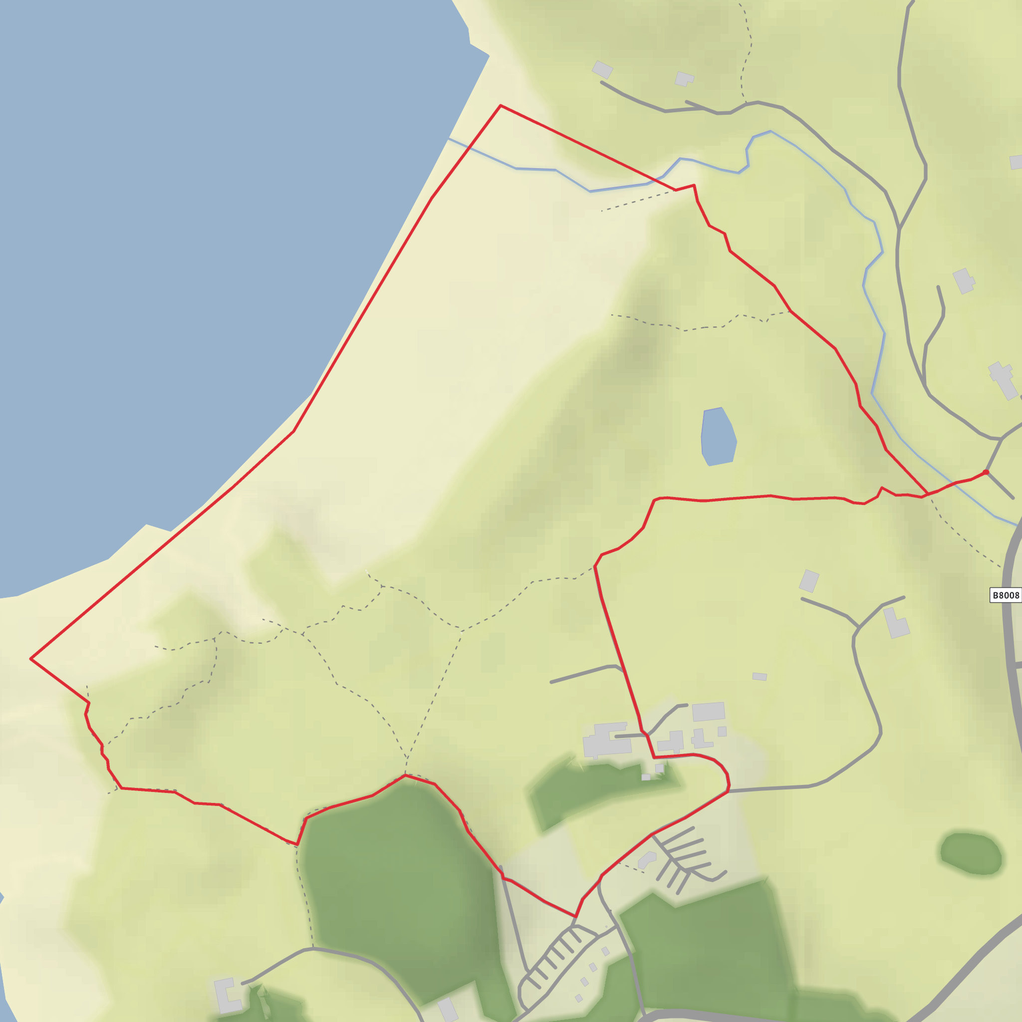
This easy coastal loop explores one of the most beautiful stretches of the Road to the Isles, circling around Camusdarach’s pale sand, low dunes, and rocky shoreline with almost no climbing at all. At roughly 2 km / 1.2 miles and around 0 m / 0 ft of elevation gain, it suits families, casual walkers, photographers, and anyone looking for a short outing with big scenery. The route is generally gentle underfoot, but the mix of sand, informal paths, and occasional rocky sections means it can feel a little slower than the distance suggests.
The walk begins near the Camusdarach Beach car park at Glenancross, between Arisaig and Morar, a useful landmark for navigation and trip planning. Walkhighlands gives the car park location as Camusdarach beach car park, Glenancross, at grid reference NM664917, and local visitor information places Camusdarach about 4 miles / 6.4 km north of Arisaig and about 5 miles / 8 km south of Mallaig. (walkhighlands.co.uk)
For drivers, the usual approach is via the B8008 coastal road between Arisaig and Morar. Parking arrangements can change, and this matters here: recent Highland Council reporting says mandatory charging was approved in May 2026 for parking at Camusdarach Beach, so it is worth checking current arrangements before setting out. Roadside parking along this coast can also be restricted, with reports of double yellow lines on parts of the B8008 and enforcement in place. (highland.gov.uk)
If arriving by public transport, the nearest rail stop is Morar, about 4.5 km / 2.8 miles away, with Arisaig also serving the area on the West Highland Line. From either station, most hikers will want a taxi or a longer roadside walk to reach the start. Public transport access is possible, but it is not as straightforward as many better-known Highland beach walks. (beachverdict.com)
What to expect on the route
From the start, the route heads out on sandy and grassy paths through low dunes before opening onto the beach itself. The terrain is nearly flat throughout, so the main effort comes from walking on soft sand and choosing a line around rocky outcrops or wetter patches. Because this is a short loop rather than a waymarked mountain trail, the exact line can vary depending on tide, beach conditions, and which side paths you take. In places, paths can become faint or split, so having the route loaded in HiiKER is helpful.
The first part of the walk usually feels sheltered, with dune vegetation and low undulations softening the wind. As the beach opens up, the views become the main event: broad white sand, shallow turquoise water in calm weather, and long sightlines across the Sound of Sleat toward Skye and the Small Isles. Scotland.org.uk highlights the beach’s views across the sound to Skye, and this open western outlook is one of the defining features of the walk. (scotland.org.uk)
A loop of around 2 km / 1.2 miles typically uses a combination of beach walking and informal return paths behind the shore. Expect to cover the outward section in roughly 15 to 25 minutes at an easy pace, with extra time if you stop for photos, tidepooling, or exploring the edges of the bay. Since there is virtually no ascent, this is more of a scenic coastal ramble than a fitness challenge.
Landmarks, scenery, and coastal character
Camusdarach is part of the famous string of beaches between Arisaig and Morar, often associated with the Silver Sands area. What makes this particular walk stand out is the contrast between bright sand, dark rock, and island views. Rocky promontories break up the shoreline and create smaller coves, while the dunes behind the beach give the route a slightly wild, less manicured feel than some more developed seaside walks.
One of the best-known cultural references here is the beach’s connection to the film Local Hero. Walkhighlands notes that Camusdarach’s status was enhanced by its use as a filming location, with the shack of the character Ben placed near the dunes and rocky point. That gives the area a small but memorable place in Scottish film history, even though the village scenes from the film were shot elsewhere. (walkhighlands.co.uk)
The wider region also carries the character of the old Road to the Isles, a corridor long associated with sea travel, crofting communities, fishing, and links to the Hebrides. Nearby Arisaig and Mallaig remain important gateways to the west coast islands, and that maritime setting is part of what gives this short walk such a strong sense of place. Camusdarach’s position between these villages makes it feel both remote and connected to a long coastal history. (camusdarach.co.uk)
Nature and wildlife
This is a rewarding walk for wildlife watchers, especially early or late in the day when the beach is quieter. Local area information notes the possibility of seeing
What to expect?
Surfaces
Unknown
Sand
Dirt
Gravel
Wood
Comments and Reviews
User comments, reviews and discussions about the Camusdarach Beach Loop, Scotland.
average rating out of 5
0 rating(s)

