Download
3D Flyover
Add to list
More
10.9 km
~2 hrs 16 min
49 m
Loop
“A gentle Annandale ramble blends broad skies, quiet riverbanks, and a modest rise above Moffat.”
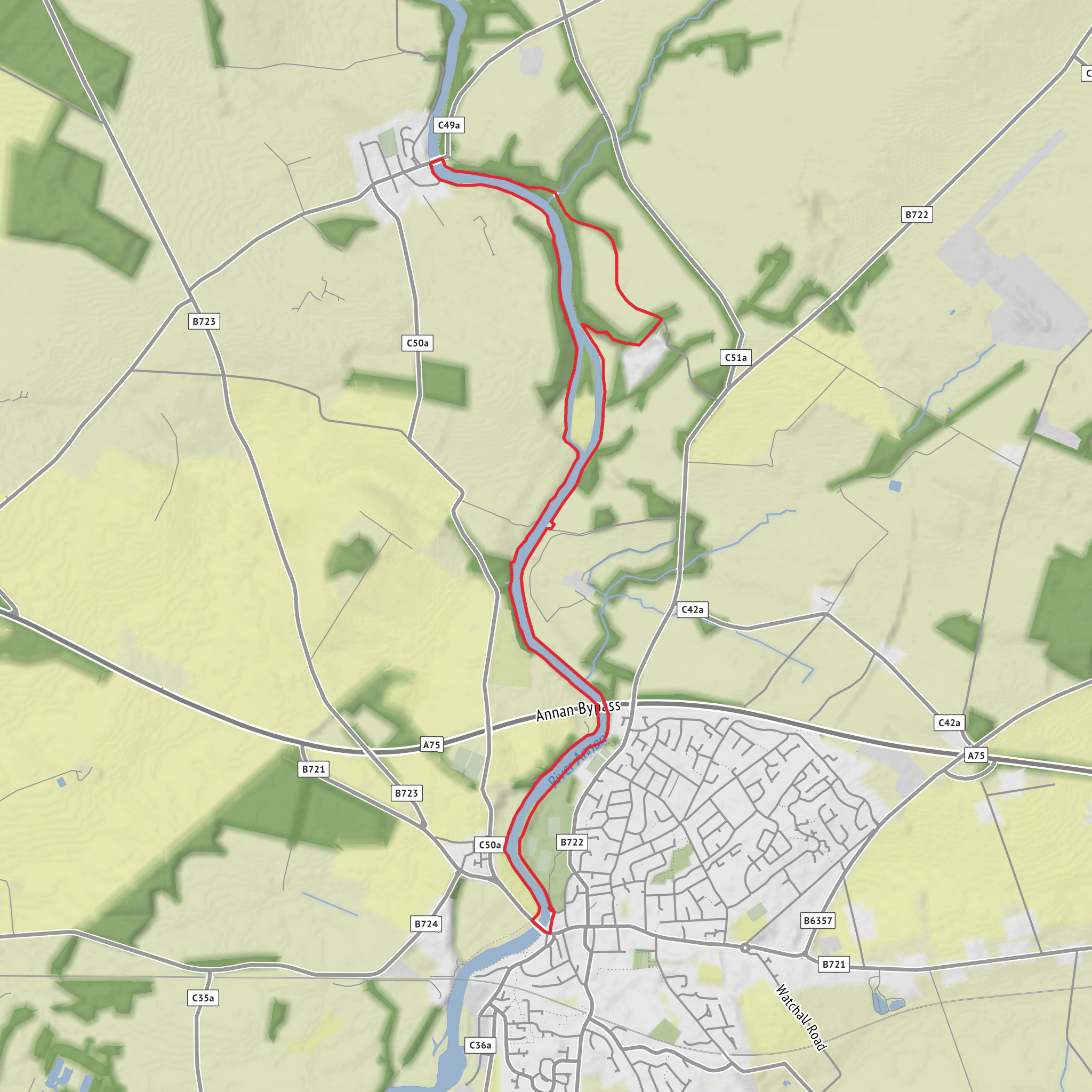
This easy riverside-and-hill circuit on the Annandale Way gives a gentler taste of the wider long-distance route, covering about 11 km / 6.8 miles with roughly 100 m / 330 ft of ascent. It is best thought of as a low-level walk with one modest rise rather than a mountain outing, so most of the day is spent on straightforward ground beside the River Annan, on estate tracks, field-edge paths, and quiet sections of waymarked trail. The walking is generally undemanding, but after rain you should still expect muddy patches, wet grass, and some softer riverside ground, especially where the route crosses farmland or shaded sections of path. The Annandale Way as a whole is known for good waymarking, and this shorter outing is well suited to hikers wanting a relaxed half-day route with varied scenery rather than a strenuous climb. (walkhighlands.co.uk)
The most practical trailhead for this walk is Moffat town centre, near Moffat High Street, which is the usual access point for the northern Annandale Way circuit because the true head of Annandale lies away from public roads in the hills north of town. Official route information for the Annandale Way identifies Moffat as the start used for the northern circuit, even though the river’s source is farther out near the Devil’s Beef Tub. (dgtrails.org)
If arriving by car, Moffat is the obvious base and access point, reached easily from the A701 and close to the M74 corridor. Parking is typically simplest around the town centre and High Street area, from where you can join the route on foot. If arriving by public transport, the usual approach is to take a train to Lockerbie railway station and then continue by bus to Moffat High Street; current route information notes that Moffat has a bus link from Lockerbie, while Annan and Lockerbie both have rail connections. Recent timetable listings also show the 380 bus serving Lockerbie and Moffat High Street, which is useful for planning without a car. For navigation on the day, checking the route in HiiKER before setting out is sensible, especially if you want to confirm the exact line of the loop and any short road or riverside connectors through town. (walkhighlands.co.uk)
What the walk is like
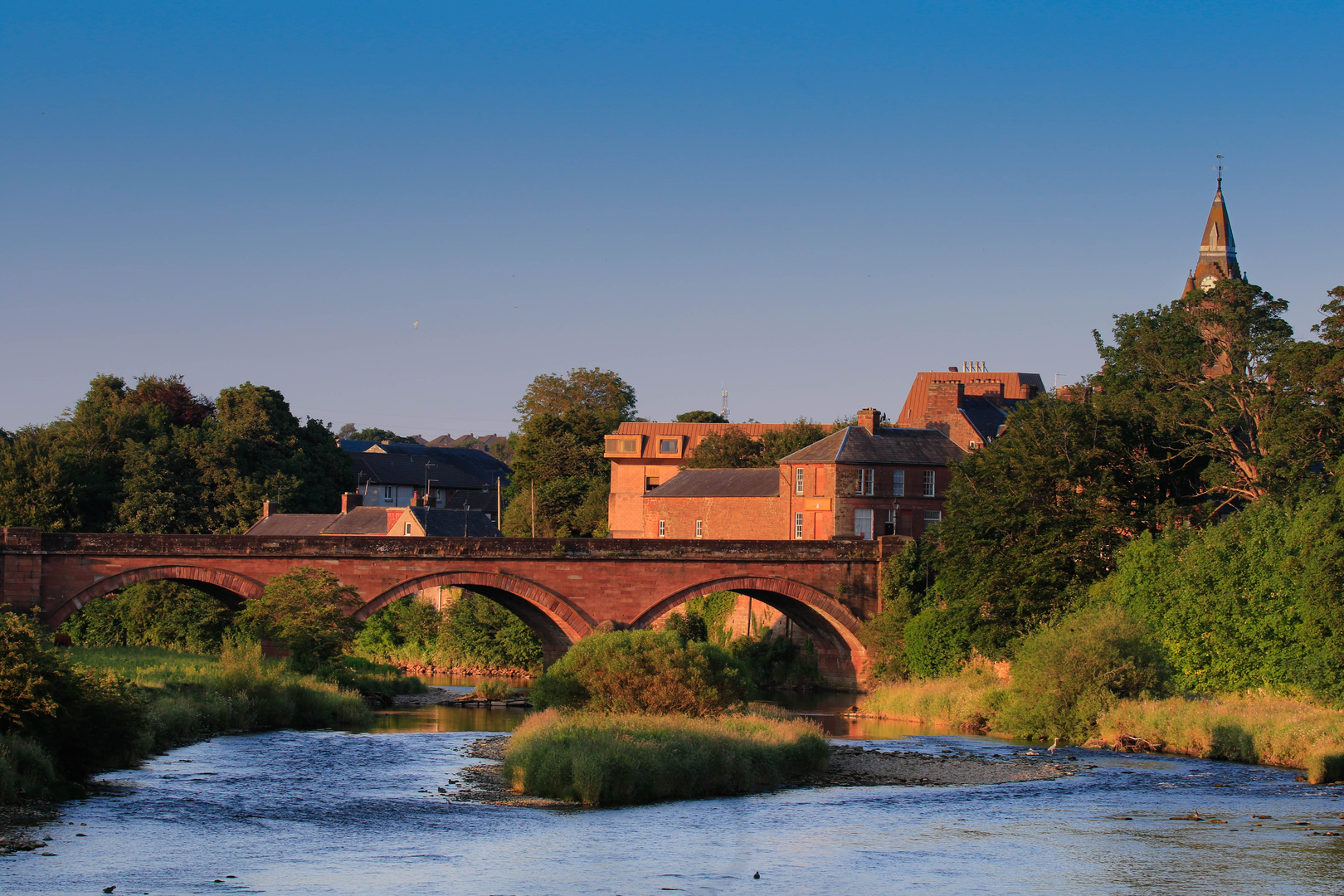
From Moffat, the route heads into the upper Annandale landscape shaped by the River Annan, one of south-west Scotland’s defining rivers. The river rises high in the Southern Uplands and then runs south through Annandale toward the Solway Firth, and even on a shorter walk like this you get a strong sense of that broader valley system: open pastoral land, broad skies, and a river corridor that shifts between quiet banks, grazing land, and pockets of woodland. (riverannanrestoration.org)
Because the total ascent is only around 100 m / 330 ft, the climb to Mount Annan is likely to feel more like a gradual lift to a viewpoint than a sustained hill effort. Expect the elevation to be spread out in short rises rather than one long pull. On an easy route of this length, most hikers will move comfortably in around 2.5 to 4 hours depending on stops, ground conditions, and how long they spend near the river or at viewpoints.
The riverside portions are usually the most attractive and relaxed. Here the River Annan provides the main visual focus, with a mix of flowing water, grassy banks, and the agricultural landscapes that have long defined Annandale. In wetter weather, these sections can also be the trickiest underfoot, so waterproof footwear is still worthwhile despite the easy grading. If there are livestock in fields, give them space and keep to the signed line of the path.
Landmarks, scenery, and wildlife
The River Annan is the key natural landmark throughout the area, and it supports a notably rich freshwater environment. Official trail information highlights the river’s clean water and wildlife value, while local conservation sources describe riparian woodland, pastoral floodplain, and species associated with healthy river systems. Depending on season and luck, hikers in the wider Annandale corridor may spot birds along the water, and the river is also associated with species such as otters; local sources further note red squirrels in parts of the catchment. (scotlandsgreattrails.com)
The
Surfaces
Unknown
Unpaved
Paved
Asphalt
Comments and Reviews
User comments, reviews and discussions about the River Annan and Mount Annan via Annandale Way, Scotland.
average rating out of 5
0 rating(s)
