Download
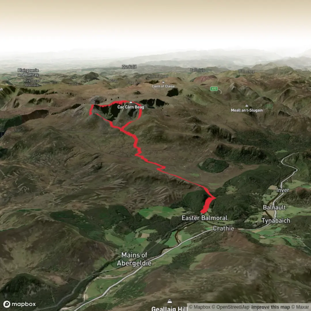
3D Preview
Add to list
More
22.5 km
~5 hrs 50 min
805 m
Loop
“A grand Lochnagar circuit blends royal lochside calm, wild corries, and a serious high-plateau adventure.”
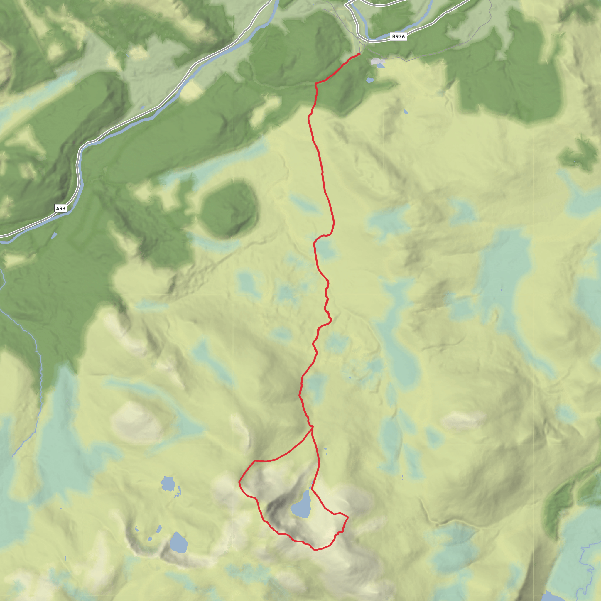
This is a big Cairngorms circuit with a high-mountain feel throughout: about 22 km / 13.7 miles with roughly 800 m / 2,625 ft of ascent, usually taking most of a day. The route is generally considered medium overall, but that rating can feel conservative in poor weather because Lochnagar’s broad plateau, steep corrie edges, and long return through Coire Glas demand solid fitness, steady pacing, and careful navigation. The usual start for this outing is the Spittal of Glenmuick car park near Loch Muick, southwest of Ballater, Aberdeenshire, at the end of the public road into Glen Muick. (stevenfallon.co.uk)
From the start, the route heads into classic Royal Deeside scenery: estate tracks, open moorland, and a gradual build toward the higher ground above Loch Muick. Early on, the walking is often straightforward underfoot, but the day quickly becomes more serious as the route gains height toward the massif of Lochnagar. The mountain most people call Lochnagar is crowned by Cac Càrn Beag, 1,155 m / 3,789 ft, while “Lochnagar” more properly refers to the lochan and dramatic corrie on the mountain’s northeastern side. (stevenfallon.co.uk)
What the route feels like
Expect a long approach rather than an immediate steep grind. That makes the day accessible to strong walkers, but it also means energy management matters: it is easy to cover the first miles too quickly and feel the cost later on the plateau and descent. As height is gained, the terrain becomes rockier and more exposed, with the mountain opening into a broad upland landscape rather than a single narrow summit cone. The route toward Cac Càrn Beag typically involves sustained climbing onto the high ground, followed by a rewarding summit section with wide views over Deeside, the White Mounth, and the greater Cairngorms in clear conditions. (hoehenrausch.de)
One of the defining features here is the contrast between the gentler southern and eastern approaches and the abrupt northern corrie architecture. Near the summit area, the cliffs above the dark corries are among the most striking mountain scenery in eastern Scotland and are well known as a winter climbing arena. In mist, wind, or snow, these edges are a serious hazard, so give corniced rims and cliff tops a very wide berth. Even in summer, low cloud can make the plateau confusing, so route-finding should be planned in advance with HiiKER rather than relying on visible paths alone. (stevenfallon.co.uk)
Landmarks and notable features
The summit of Cac Càrn Beag is the high point of the day, but it is not the only memorable landmark. The route name also points to Coire Glas, adding a wilder, less direct character than the standard out-and-back ascent. This part of the circuit brings in quieter ground and a stronger sense of the mountain’s scale, with corrie scenery, rougher upland terrain, and a more varied descent profile than the most popular tourist line. Depending on the exact line taken, hikers may also pass or look across toward Cac Càrn Mòr and the broad upland shoulder of Cuidhe Cròm, both important topographic features on the Lochnagar plateau. (hoehenrausch.de)
Lower down, the Glen Muick and Loch Muick area adds another layer of interest. If the route returns by the lochside side of the mountain, hikers may encounter Glas-allt-Shiel, the lodge rebuilt for Queen Victoria in 1868 after Prince Albert’s death, along with the nearby Falls of Glas Allt. These features give the walk an unusual mix of wild mountain terrain and royal Highland history. (en.wikipedia.org)
Nature and wildlife
This is a landscape of heather moor, montane plateau, burns, corries, and lochside habitats within the Cairngorms National Park and the Deeside and Lochnagar National Scenic Area. The mountain and surrounding uplands are important for
Surfaces
Unknown
Gravel
Comments and Reviews
User comments, reviews and discussions about the Lochnagar, Lochnagar Cac Carn Beag and Coire Glas, Scotland.
average rating out of 5
0 rating(s)
