Cairn Culchavie, Little Geal Charn, Meikle Geal Charn and Brown Cow Hill Loop
Download
3D Flyover
Add to list
More
20.1 km
~4 hrs 48 min
480 m
Loop
“A sweeping moorland circuit with quartz-bright summits, long climbs, and committing, navigation-heavy Highland solitude.”
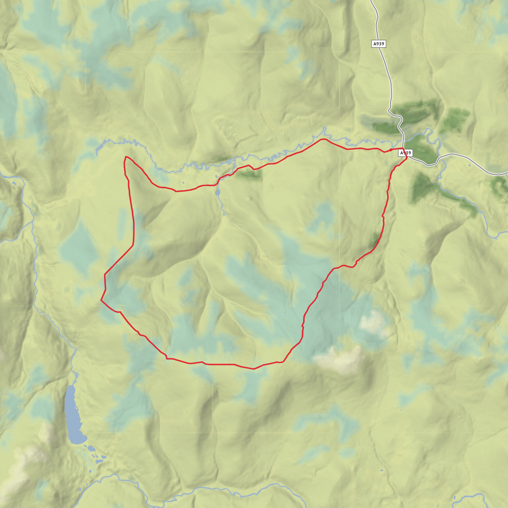
This 20.1 km / 12.5 mile hill loop makes a broad circuit over the rounded uplands above Corgarff, linking Brown Cow Hill, Meikle Geal Charn, Little Geal Charn and Cairn Culchavie. Expect around 606 m / 1,988 ft of ascent overall, spread across several long, steady climbs rather than one single steep pull, which is why the route often feels more committing than the “medium” grade first suggests. HiiKER lists the route at 20.1 km with about 606 m of elevation gain and a typical time of roughly 5 hours, though many walkers will want longer for navigation, breaks, and rough-ground progress. (hiiker.app)
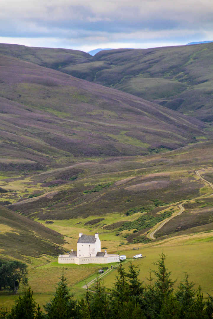
The start is best understood as the car park for Corgarff Castle, near Strathdon, Aberdeenshire, just off the A939 near Cock Bridge. That is the clearest known landmark for the trailhead, and it is also where the usual route begins. Walkhighlands notes a dedicated car park for the castle, signed from the main road by Cock Bridge. (walkhighlands.co.uk)
By car, access is straightforward from the A939, the scenic road running between Strathdon, Cock Bridge and Tomintoul. Parking is normally at Corgarff Castle. For public transport, options are much more limited and should be checked carefully in advance; Aberdeenshire Council directs travelers to current local public transport information, and Traveline Scotland is the most reliable journey-planning source for reaching this remote part of Strathdon. In practice, many hikers treat this as a car-access walk because services in the area can be infrequent. (aberdeenshire.gov.uk)
The opening section follows estate tracks from the castle area into the glen, which gives a relatively gentle start before the route turns hillward. This first stretch is useful for settling into the day, but it also hints at the character of the outing: long distances, open moorland, and a lot of exposure once you leave the tracks behind. The hills here are broad rather than dramatic, and in poor visibility they can feel featureless, so route-finding matters. HiiKER is the navigation tool to have ready before leaving the car park. (walkhighlands.co.uk)
Terrain and route character
After the approach track, the climb onto Brown Cow Hill becomes progressively rougher. Walkhighlands describes boggy ground and peat hags interrupting easier sections of short-cropped heather, and that is the key preparation point for this loop. Even when gradients are moderate, the ground can be energy-sapping. Waterproof footwear, gaiters in wetter periods, and comfort with uneven moorland are more important here than scrambling ability. (walkhighlands.co.uk)
Brown Cow Hill itself is the highest point on the round at about 829 m / 2,720 ft. One quirk of the hill is that an eastern top around 823 m / 2,700 ft can feel like the summit if visibility is poor, but the true summit lies farther west. Older route notes specifically warn that the mapped 823 m top is not the true high point, so it is worth checking your position carefully rather than turning back too early. (getlostmountaineering.co.uk)
From Brown Cow Hill, the route continues across a high moorland horseshoe toward Meikle Geal Charn. This is often one of the most memorable parts of the day because the terrain changes from peatier ground to stonier summit areas. Get Lost Mountaineering highlights Meikle Geal Charn’s white quartzite stonefields and calls it the finest summit in the range, while Walkhighlands notes its strong views toward Loch Builg and the upper River Avon. (getlostmountaineering.co.uk)
Little Geal Charn follows after a
Surfaces
Unknown
Asphalt
Concrete
Unpaved
Comments and Reviews
User comments, reviews and discussions about the Cairn Culchavie, Little Geal Charn, Meikle Geal Charn and Brown Cow Hill Loop, Scotland.
average rating out of 5
0 rating(s)
