
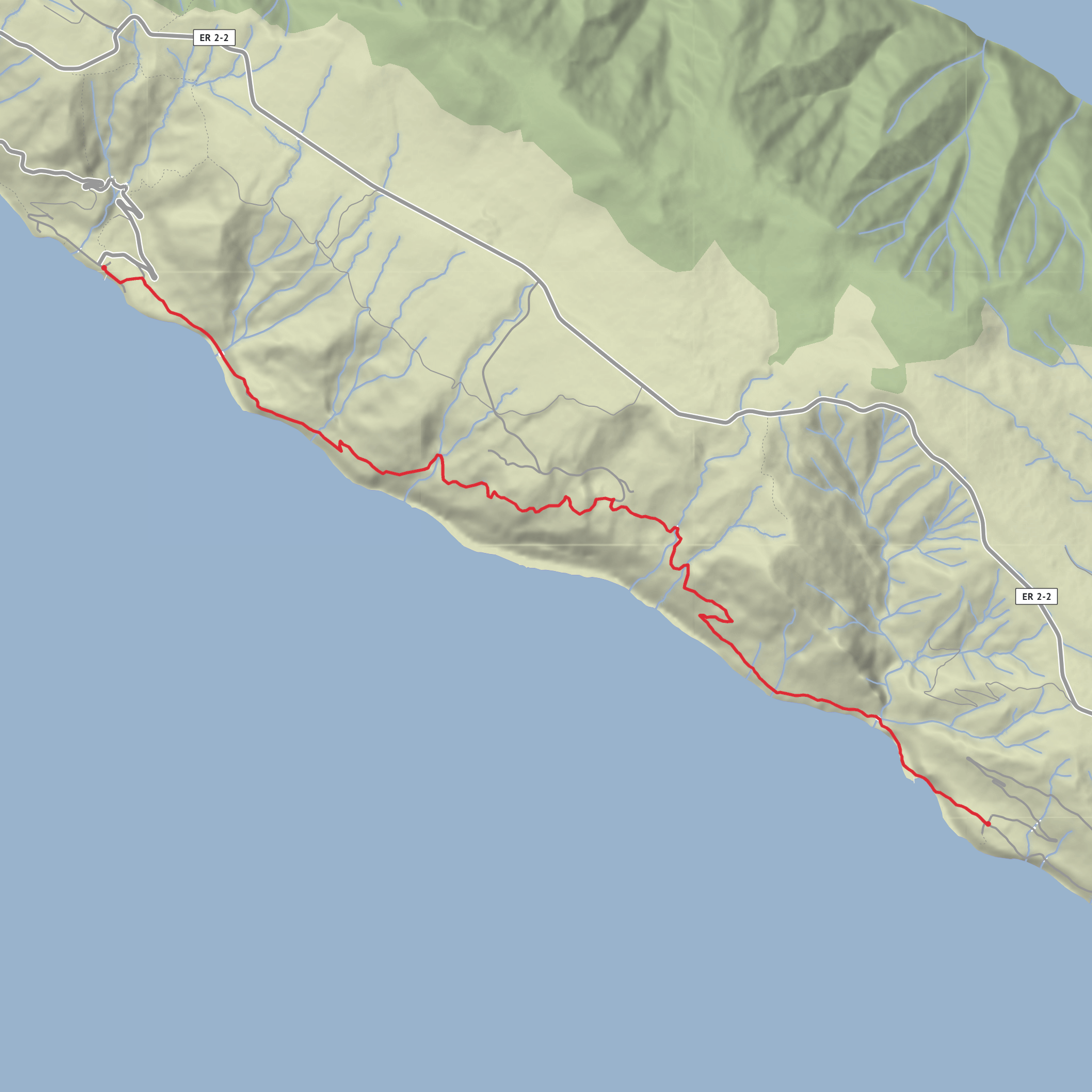
Fajã dos Vimes to São João via Faja do Cavalete and Baia da Areia
Download
3D Flyover
Add to list
More
9.6 km
~3 hrs 10 min
755 m
Point to Point
“A dramatic cliffside passage between storied fajãs, rich in culture, ocean views, and hard-earned solitude.”
This is a demanding south-coast crossing on São Jorge that links two of the island’s most characterful fajãs: Fajã dos Vimes and Fajã de São João. Expect roughly 10 km / 6.2 miles of walking, with about 800 m / 2,625 ft of cumulative ascent and a similar amount of descent, depending on exactly where you begin and any short detours you take. The route is generally treated as a hard linear trail, and the challenge comes less from distance than from the repeated steep climbs and descents on old coastal paths cut into the base of immense sea cliffs. Official trail listings place the PR3 route at about 9.7 km / 6 miles and around 3.5 hours moving time, but many hikers will want longer for photos, rests, and careful footing. (saojorge.com)
The start on the west side is best associated with Acesso à Fajã dos Vimes, Ribeira Seca, Calheta, São Jorge, the access road and settlement area identified by Visit Azores at Fajã dos Vimes. If you are walking eastbound toward São João, this is the clearest practical landmark for the trailhead area. On the far end, the route finishes in Fajã de São João, Santo Antão, Calheta, São Jorge, the large south-coast fajã below the cliffs of the Serra do Topo area. (visitazores.com)
Fajã dos Vimes is one of the emblematic fajãs of São Jorge and is especially known for its rare coffee cultivation and traditional weaving, including the well-known handcrafted quilts of Ponto Alto. That gives the opening stretch a strong cultural feel before the route commits to rougher, more isolated terrain. Visit Azores also notes that this is the access point used to reach Fajã dos Bodes by car and, from there, onward toward Fajã do Cavalete and Fajã da Fragueira. (visitazores.com)
What the route feels like
From Fajã dos Vimes, the trail works along the south coast through a sequence of cultivated flats, old access ways, and cliff-backed fajãs. The terrain is varied rather than uniform: paved or farm-access sections near settlements, then narrower footpaths, steeper earthen or stone sections, and occasional exposed traverses where the cliff and ocean dominate the view. The route is often described through the chain of places it connects: Fajã dos Vimes, Fajã dos Bodes, Fajã do Cavalete, Lourais, and Fajã de São João. Older and local sources specifically identify Fajã do Cavalete as one of the intermediate landmarks on this crossing. (cmvelas.pt)
One of the key planning points is the steep climb between the coast and Lourais, which rises from near sea level to around 400 m / 1,312 ft. The Azores walking guide specifically warns that this is the crux of the route and suggests that less experienced walkers may prefer to start from Lourais and descend either west to Fajã dos Vimes or east to Fajã de São João instead of doing the full crossing. For a hiker tackling the complete route, that means pacing matters early: the ascent can feel relentless in humid or sunny conditions, and the descent on the opposite side can be just as taxing on knees and ankles. (visitazores.com)
Landmarks, scenery, and historical context
The defining landscape here is the arriba—the towering coastal escarpment above the fajãs. The cliffs between Vimes and São João are recognized as a geosite, and the area is notable for the classic São Jorge pattern of narrow debris-built coastal platforms at the foot of dramatic volcanic slopes. Fajã de São João is identified as the largest fajã on the south coast of the Calheta municipality, and the broader Vimes–São João cliff system is geologically significant as part of the island’s fajã landscape. (roteirodasminas.dgeg.gov.pt
Surfaces
Unknown
Gravel
Concrete
Cobblestone
Asphalt
Paved
Wood
Comments and Reviews
User comments, reviews and discussions about the Fajã dos Vimes to São João via Faja do Cavalete and Baia da Areia, Portugal.
average rating out of 5
0 rating(s)
