
Terra Alta - Miradouro to Santa Amaro Porto via Canto de Santo Amaro and Parque de Merendas da Furada
Download
3D Flyover
Add to list
More
6.2 km
~1 hrs 20 min
51 m
Point to Point
“A cliffside descent through mossy lanes, vineyard relics, and sea views offers a gently adventurous taste of Pico.”
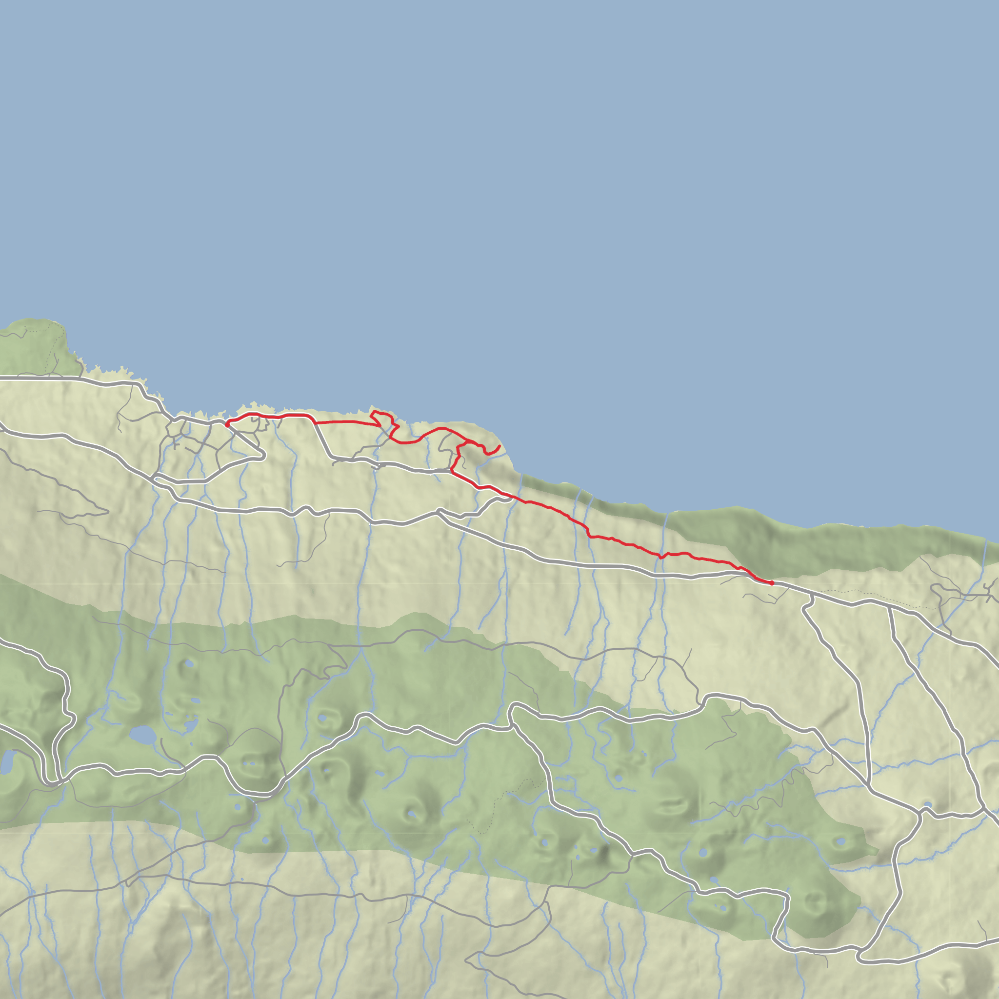
This easy linear walk on Pico Island links the Miradouro da Terra Alta with the village and port area of Santo Amaro, covering about 5.8–6.3 km (3.6–3.9 miles) in roughly 2 hours. It is generally rated easy, but that rating comes with an important caveat: although the total ascent is modest at around 100 m (328 ft), the route begins high on the cliffside near 415 m (1,362 ft) above sea level and trends steadily downhill, so the main challenge is footing rather than fitness. (trails.visitazores.com)
The start is at Miradouro da Terra Alta, a well-known viewpoint on the north side of Pico between the parishes of Ribeirinha and Santo Amaro, along the regional road. If you are converting the trailhead location into a practical place to navigate to, the nearest significant landmark is Miradouro da Terra Alta, Ribeirinha/Santo Amaro, Pico Island, Azores rather than a street-number address. The finish is in central Santo Amaro, near the waterfront and village services. (viewpoints.azores.gov.pt)
For drivers, the simplest approach is to park near the viewpoint on the regional road, where the official trail begins beside the miradouro. Because this is a linear route, many walkers either leave a second vehicle in Santo Amaro or arrange a taxi transfer back after finishing. For public transport, access on Pico can be limited and schedules may vary seasonally, so the practical option is usually to travel to Santo Amaro first by local bus or taxi from larger settlements such as São Roque do Pico or Madalena, then transfer up to the viewpoint by taxi if bus timings do not line up. Checking the route in HiiKER before setting out is especially useful here because point-to-point logistics matter more than on a loop walk. (trails.visitazores.com)
What the route feels like
The opening section leaves the viewpoint and quickly drops onto the old Caminho das Voltas, a broad descending lane that zigzags down the slope. Early on, the path passes through woodland and shaded ravines, with stretches of rock, stone paving, leaf litter, and occasional steps. Even on a dry day, this first half can feel slick underfoot because of damp vegetation, worn stone, and organic debris. Good grip matters more than heavy boots, and trekking poles can help on the steeper bends. (visitazores.com)
As you lose height, the route reveals more of Pico’s traditional rural landscape. You pass traces of vineyard corrals, small carved-stone bridges, and old agricultural infrastructure that show how important this path once was as a local connection route. There is also an abandoned butter factory building along the way, a small but memorable reminder of the island’s older agricultural economy. (trails.visitazores.com)
Near the coast, the character changes again. A short detour leads to Baía do Canto, a small seafront leisure area edged by local wine cellars, after which the walk continues on or near a tarmac lane toward Santo Amaro. This final section is easier to follow and less rugged, passing Parque da Furada before entering the village. (trails.visitazores.com)
Landmarks, scenery, and wildlife
The viewpoint itself is one of the highlights of the day. Miradouro da Terra Alta sits on a dramatic cliff on Pico’s north coast and looks out over the Pico–São Jorge Channel toward São Jorge; in especially
Surfaces
Asphalt
Dirt
Unknown
Comments and Reviews
User comments, reviews and discussions about the Terra Alta - Miradouro to Santa Amaro Porto via Canto de Santo Amaro and Parque de Merendas da Furada, Portugal.
average rating out of 5
0 rating(s)
