
Download
3D Flyover
Add to list
More
8.8 km
~2 hrs
140 m
Point to Point
“Across Pico’s black lava coast, this gentle trail threads history, sea views, and resilient island life.”
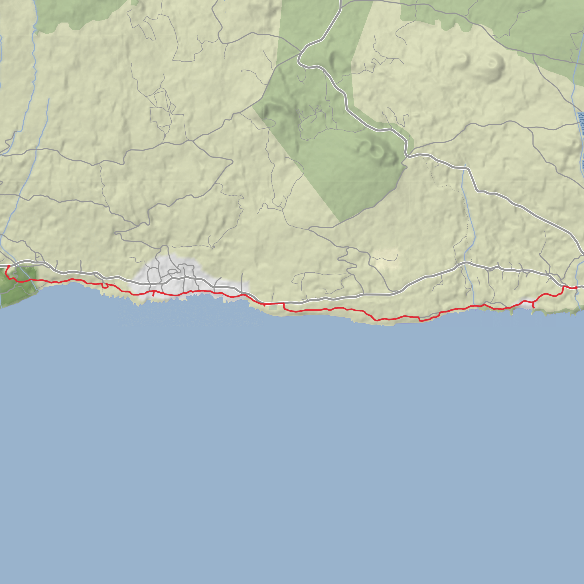
This easy coastal-volcanic walk on Pico covers about 8.5 to 9 km / 5.3 to 5.6 miles with only around 100 m / 330 ft of total ascent, so it is much more about terrain, scenery, and local history than sustained climbing. The route is a linear trail that begins at the Reserva Florestal de Recreio do Mistério de São João, near the village of São João, Lajes do Pico, and finishes in Silveira, close to the Church of São Bartolomeu on Pico’s south coast. Official Azores trail information lists it as PR15PIC, with an average walking time of about 3 hours and an easy rating. (trails.visitazores.com)
The start is best understood as being near the Mistério de São João Forest Reserve and Recreation Park, a recognized landmark on the south side of Pico rather than an isolated backcountry trailhead. If arriving by car, the simplest approach is via the island’s main south-coast road, ER1-1A, using São João as the key waypoint; the finish at Silveira is also on the same coastal side, which makes a car shuttle or two-car setup very practical. Public transport on Pico is limited and should be checked carefully in advance, but municipal timetable information shows service between Lajes do Pico and São João, and broader island routes also connect Madalena, Lajes, São João, and Silveira on certain runs, so hikers without a car may be able to arrange a one-way walk with a bus at one end and a taxi at the other. (oldsite.cm-lajesdopico.pt)
From the outset, the character of the walk is shaped by the word “mistérios”, the local name given to lava fields created by historic eruptions that once seemed frightening and inexplicable to residents. This trail crosses the landscapes of Mistério de São João and Mistério da Silveira, formed by the major eruptions of 1718 and 1720. Those eruptions are the defining historical story of the route: they sent lava across settled land, damaged homes, and permanently altered the coastline and agricultural ground of southern Pico. (trails.visitazores.com)
What the route feels like
Expect a mostly gentle walk with modest ups and downs rather than one long climb. The official description notes a short descent of roughly 30 m / 100 ft early on before the trail settles into flatter dirt-road and coastal sections. Underfoot, the main challenge is not steepness but the variety of surfaces: forest tracks, old access lanes, rougher volcanic ground, and occasional paved stretches. After rain, some sections can be slick, and uneven lava-based footing can be more tiring than the elevation profile suggests. (visitazores.com)
The opening section near the forest reserve is greener and more sheltered, then the route gradually reveals the south-coast landscape where black lava, low vegetation, stone walls, and ocean views become the dominant features. Because this is a linear trail, it helps to plan your pacing around landmarks rather than expecting a loop back to the start. HiiKER is the best tool to use for confirming your position, especially around road crossings and transitions between dirt track and village lanes.
Landmarks and points of interest
One of the strongest features of this hike is how many cultural and natural landmarks are packed into a relatively short distance. Along the way, hikers pass old tidal wells—including Baía do Arruda, Ponta do Admoiro, Verdoso, and Maré do Rego—which historically supplied water for domestic use. These are important reminders that even on a wet Atlantic island, reliable fresh water near lava coastlines was once a serious practical concern. (trails.visitazores.com)
The route also passes coastal bathing and lava-pool areas such as Ponta do Admoiro, Arinhas, and Fonte. In calm conditions these spots add a dramatic marine element to the walk, but the coast here should always be treated with respect: volcanic rock can be sharp, wave surge can be unpredictable, and wet edges can be extremely slippery. (trails.visitazores.com)
Another notable landmark is the Ponta Rasa windmill, built in 1949 and classified as a property of municipal interest. It adds a different
Surfaces
Asphalt
Unknown
Gravel
Comments and Reviews
User comments, reviews and discussions about the Mistérios do Sul do Pico, Sao Joao and Grota, Portugal.
average rating out of 5
0 rating(s)
