
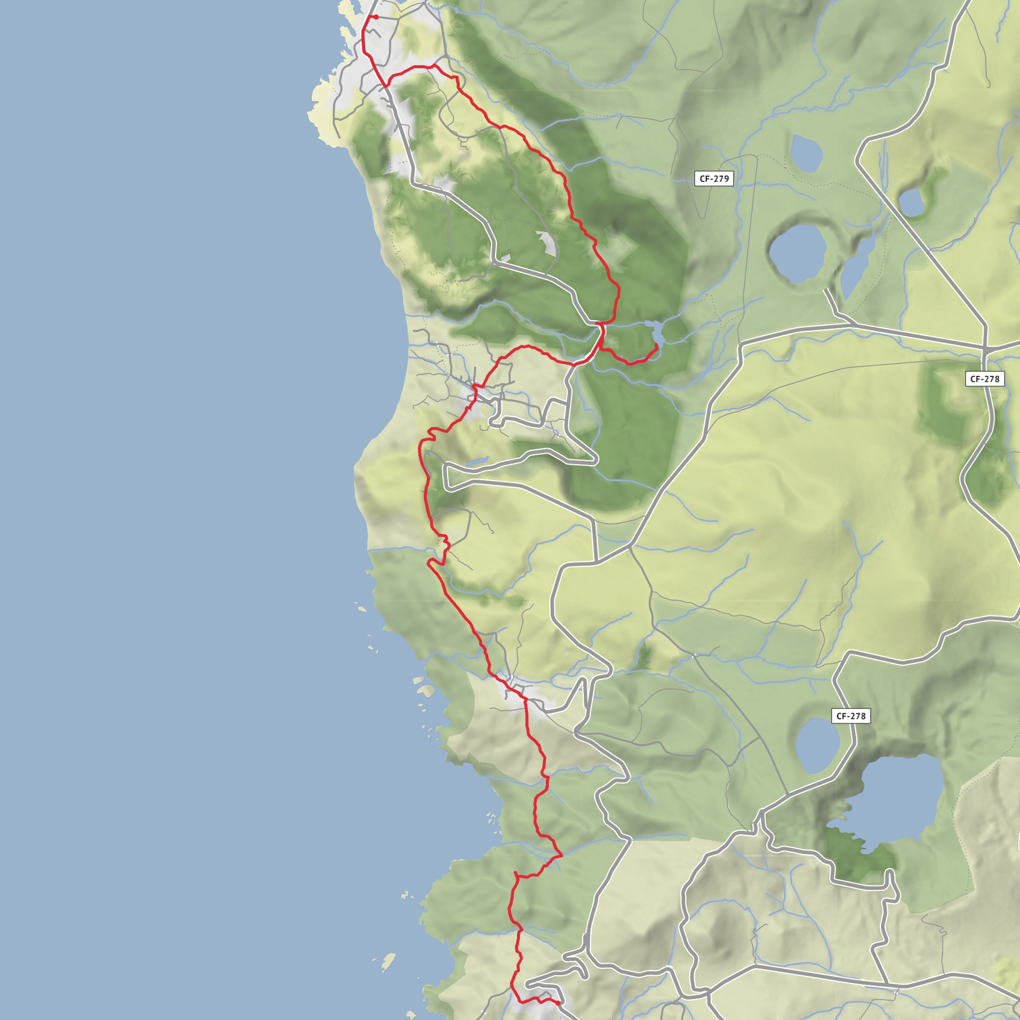
Lajedo to Fajã Grande via Pico do Fachial, Cruzeiro da Fajazinha and Lagoa dos Patos
Download
3D Flyover
Add to list
More
13.3 km
~3 hrs 32 min
529 m
Point to Point
“Wild valleys, old stone paths, and waterfall-laced cliffs make this Flores coast walk unforgettable.”
This point-to-point walk links the parish of Lajedo with Fajã Grande on the wild west side of Flores, following the island’s southwest coast through old farming country, deep green valleys, cliff-backed fajãs, and one of the most dramatic waterfall landscapes in the Azores. Expect roughly 13 km / 8.1 miles with about 500 m / 1,640 ft of ascent overall, usually taking around 4 to 5 hours depending on stops, weather, and how long you spend at viewpoints and detours. The route is generally considered medium, but it can feel harder in wet or windy conditions because sections of old path, dirt track, and stone paving can become slick. (azoresislandstrails.com)
The walk begins near the Church of Nossa Senhora dos Milagres in Lajedo, beside the Império do Espírito Santo, which is the clearest known landmark for the trailhead. From there, the signed route climbs to a viewpoint above the village where the proper trail begins. If you are planning with HiiKER, this church-and-Império area is the practical place to treat as the start. (parquesnaturais.azores.gov.pt)
Early on, the route leaves the last houses of Lajedo behind and opens onto broad ocean-facing country with basalt outcrops, pasture, and long views across a sequence of valleys. The first few kilometres are a good introduction to Flores: exposed, volcanic, and intensely green, with the Atlantic always nearby. One notable landmark in this opening section is the view toward Ilhéu do Cartário, while farther along the landscape begins to frame the island’s striking volcanic relief. (parquesnaturais.azores.gov.pt)
Terrain and route character
For about the first 3 km / 1.9 miles, the trail rolls across wide valleys above the sea before reaching the parish of Mosteiros. Here the route mixes dirt road, partially cobbled footpath, and stream crossings, so waterproof footwear is a smart choice even in fair weather. After this, the trail continues toward the small area known as Caldeira, a fertile depression once settled because of its water and productive soils; today it is largely deserted, with a few surviving structures used for agricultural storage. (itrails.visitazores.com)
Beyond Caldeira, the route bends around Cruzeiro da Fajãzinha, one of the best viewpoints on the walk. This is where the scenery becomes more dramatic, with the escarpment dropping toward Fajãzinha and the west coast opening up below. The descent by Ladeira do Portal is especially significant: it was historically the oldest passable route connecting Fajãzinha with the rest of the island, and parts of the original cobbled surface still survive. That old engineered path is one of the strongest reminders that these coastal communities were once much more isolated than they appear today. (itrails.visitazores.com)
As you descend, the trail gives wide views over the Fajãzinha valley, the mouth of the Ribeira Grande, and the high fossil sea cliff that separates the coastal fajãs from Flores’s central plateau. This cliff rises about 300 m / 984 ft and is one of the defining geological features of the area. Fajãzinha and Fajã Grande themselves are lava-delta coastal platforms backed by this ancient cliff, giving the whole second half of the hike a dramatic amphitheatre feel. (itrails.visitazores.com)
Landmarks, nature, and wildlife
After passing through Fajãzinha, the route follows tracks near the stream and reaches the road by an old watermill dating from 1862, a worthwhile cultural landmark that reflects the agricultural life of these villages. Corn and rye were once ground here, and the mill is one of the clearest surviving pieces of traditional rural infrastructure on this side of Flores. (azoresislandstrails.com)
A short detour ahead leads to Poço da Ribeira do Ferreiro, also locally associated with Lagoa dos Patos in some trail references. This is one of the most famous natural sights on Flores: a still pool beneath steep walls streaked with multiple waterfalls. Older local use of the basin was practical as well as scenic; one official trail source notes that decades ago it could dry in summer and the grass was cut there for cattle fodder.
Surfaces
Unknown
Asphalt
Cobblestone
Ground
Grass
Dirt
Concrete
Gravel
Comments and Reviews
User comments, reviews and discussions about the Lajedo to Fajã Grande via Pico do Fachial, Cruzeiro da Fajazinha and Lagoa dos Patos, Portugal.
average rating out of 5
0 rating(s)
