
Download
3D Flyover
Add to list
More
10.3 km
~2 hrs 23 min
203 m
Point to Point
“A vivid descent from crater highlands to Corvo’s stone-walled coast, rich in volcanic character.”
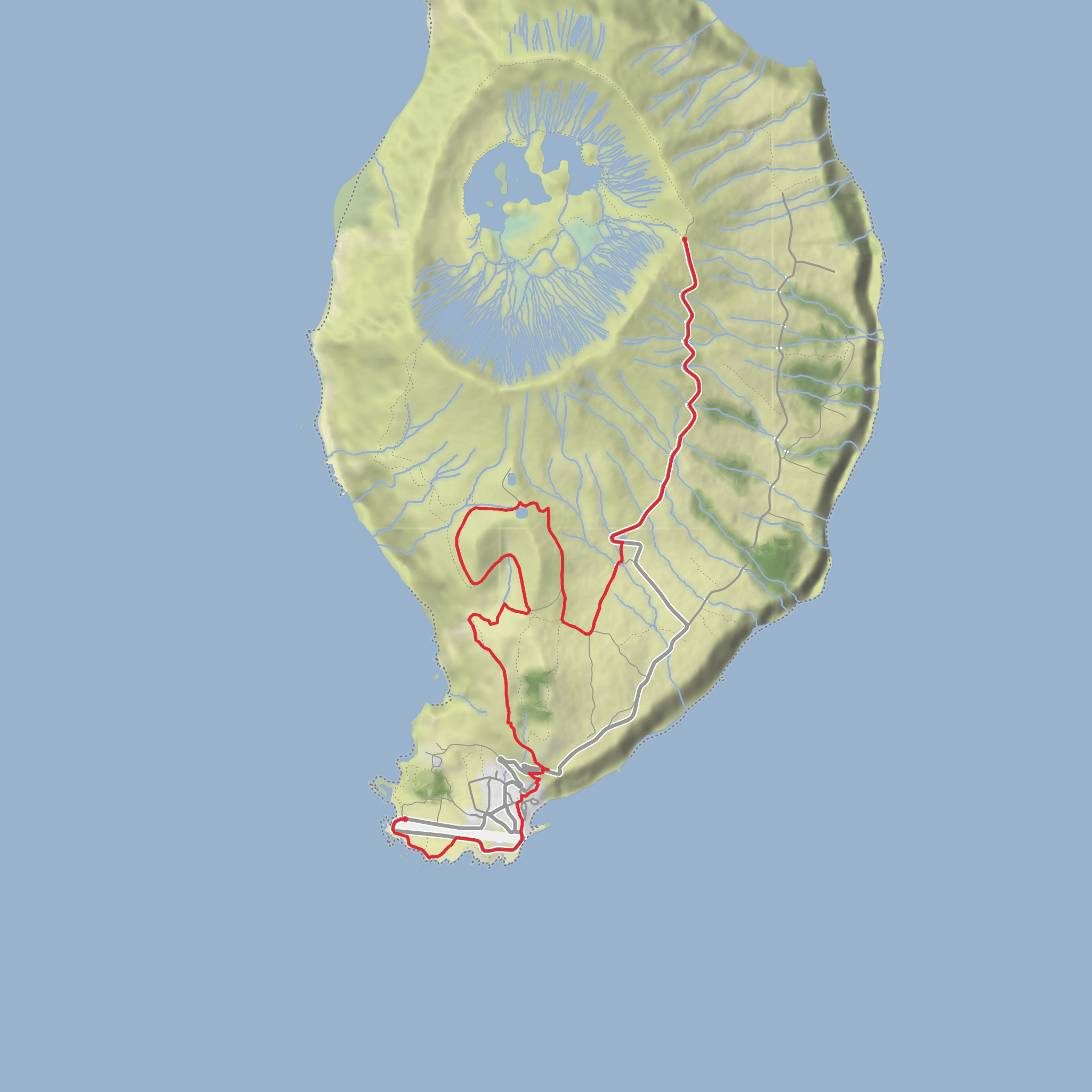
This roughly 10 km / 6.2 mile medium walk on Corvo in the Azores links the high volcanic interior with the island’s settled south coast, giving it a very different feel from a simple out-and-back viewpoint stroll. The official Azores Trails listing gives the route as 10.3 km with an average walking time of about 3 hours, and places it in the protected Costa and Caldeirão do Corvo area. The trail is generally described as linear, even though some route descriptions also mention a connection near the Caldeirão viewpoint; for planning purposes, treat it as a point-to-point descent from the uplands toward Vila do Corvo. (trails.visitazores.com)
The walk begins near Miradouro do Caldeirão / Cova Vermelha, the upland area by Corvo’s famous crater viewpoint, rather than in the village itself. Cova Vermelha is the crater of the Coroínha scoria cone, making the start not just a trailhead but a geologically significant landmark in its own right. If you are converting the start to a practical landmark for navigation, the nearest well-known reference point is Miradouro do Caldeirão, Corvo Island, Azores, Portugal. (azoresgeopark.com)
Expect a route with modest total climbing—about 200 m / 656 ft overall by your estimate—but with more noticeable ups and downs than the raw number suggests because the trail traverses volcanic slopes, pasture edges, and uneven ground. Official material places the route between roughly 400 and 560 m elevation, so even though it trends downhill toward the village, you should still expect short rises, muddy patches, and irregular footing. (trails.visitazores.com)
What the route feels like
From the high ground near the crater viewpoint, the trail heads into a landscape shaped by old volcanic activity and long agricultural use. One of the first things hikers notice is the contrast between open pasture, dark basalt, and the pale dry-stone walls that divide fields and shelter livestock from Atlantic winds. These walls are a defining feature of the Azorean rural landscape and are part of what gives the route its strong sense of place. Official trail notes also mention unusual circular stone enclosures and traditional water-retention structures used for livestock, which are worth watching for as you descend. (trails.visitazores.com)
The route then passes through the area locally known as Baldio, where artificial water tanks built in the 2000s and early 2010s help retain surface water for the village population. This section is more open and exposed, and in poor weather it can feel remote despite the island’s small size. The trail then wraps around the volcanic cone known as Coroínha, a geosite associated with the Pingas cliff, before continuing down toward cultivated land and eventually the historic settlement of Vila do Corvo. (trails.visitazores.com)
One of the signature landmarks is the basalt formation that gives the walk its name: Cara do Índio, or “Face of the Indian.” Erosion has shaped a rock outcrop into a profile that local residents interpret as a human face. It is one of those features that can be easy to miss if you are moving quickly, so it is worth slowing down near the cliffside section and checking your position carefully in HiiKER. (trails.visitazores.com)
Landmarks, views, and natural features
The biggest visual drama comes from the combination of crater rim, volcanic cone, sea cliffs, and long views over the Atlantic. On clear days, the trail offers views toward Flores Island, and as you descend the settlement of Vila do Corvo gradually becomes more prominent below. The Coroínha geosite itself is a major highlight: a volcanic cone open to the south, paired with the abrupt coastal escarpment of Pingas. (trails.visitazores.com)
The broader region is geologically important because Corvo is essentially the exposed
Surfaces
Unknown
Asphalt
Dirt
Comments and Reviews
User comments, reviews and discussions about the Coroinha and Cara do Índio, Portugal.
average rating out of 5
0 rating(s)
