
Download
3D Flyover
Add to list
More
5.0 km
~1 hrs 32 min
331 m
Loop
“A steep, sunlit Atlantic loop where terraced cliffs and chapel views feel wilder than expected.”
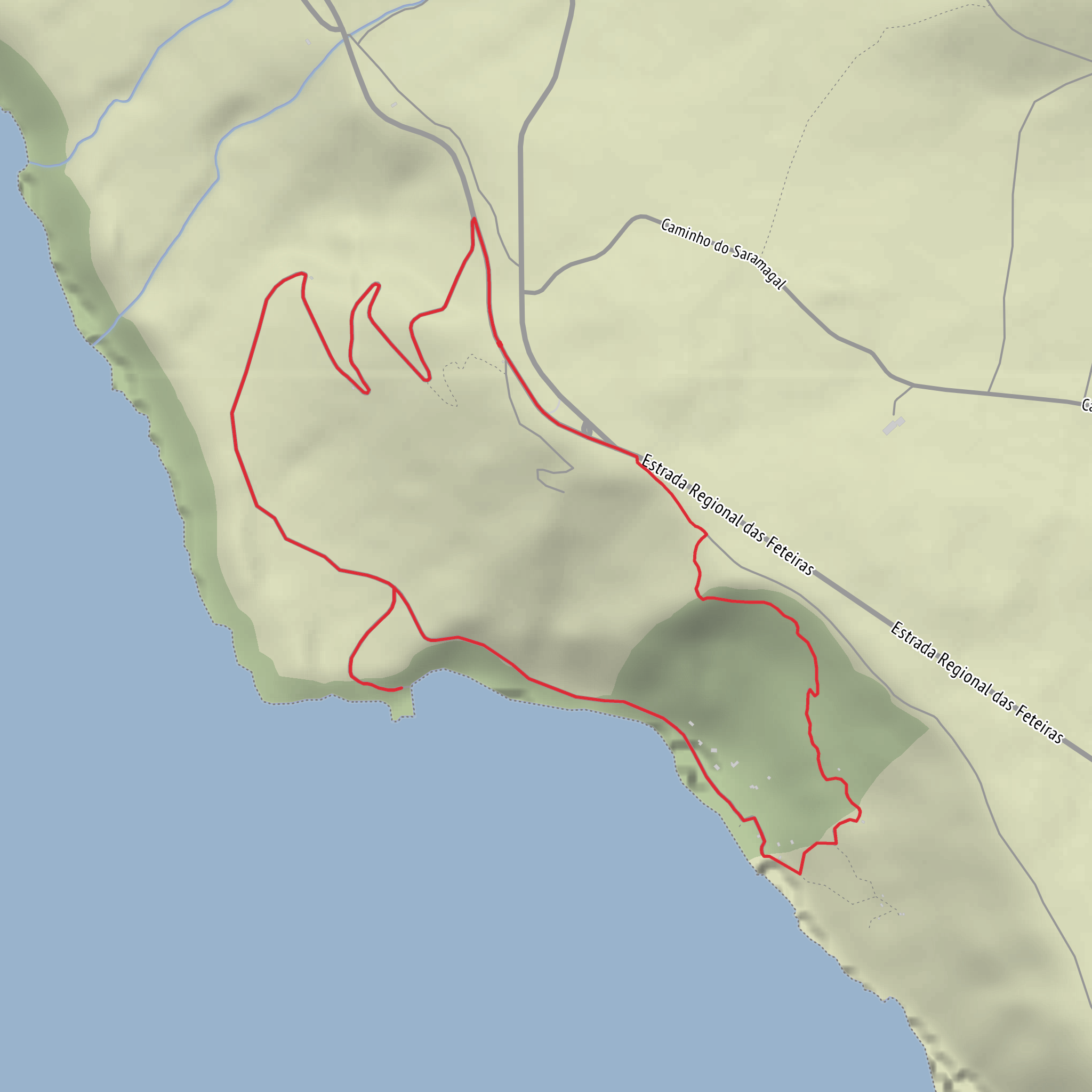
This short but demanding coastal loop explores one of the most dramatic corners of Madeira’s southwest coast, dropping toward Fajã do Mar in Arco da Calheta and weaving through steep hillside terrain above the Atlantic. Although the distance is only about 5 km / 3.1 miles, the route’s roughly 300 m / 985 ft of elevation gain, sharp gradients, and exposed coastal setting make it feel much bigger than the numbers suggest. The landscape here is classic south-coast Madeira: terraced slopes, abrupt sea cliffs, scattered houses and chapels, and a narrow strip of flatter land created below the escarpment. Fajã do Mar itself sits on the coastal flank of Arco da Calheta, and the term fajã in Madeira refers to a flatter area formed by landslides or cliff collapse at sea level, which helps explain the unusual shape of the terrain you’ll be walking through. (pt.wikipedia.org)
The nearest significant landmark for the hike area is Fajã do Mar, Arco da Calheta, Calheta, Madeira, Portugal, with the small Capela de Nossa Senhora da Vida as one of the clearest local reference points near the coast. The chapel stands on a small rise above the sea and is closely tied to the identity of the settlement, making it a useful landmark when orienting yourself before or after the walk. (pt.wikipedia.org)
Getting to the start is usually easiest by car. From Funchal, most drivers approach via the VE3/ER222 direction of Calheta and then continue toward Arco da Calheta, using Fajã do Mar as the destination area. Roads on this side of Madeira are steep, narrow in places, and can involve tight bends, so allow more time than the map distance suggests. Parking is typically found on local roadside spaces near the settlement rather than at a large formal trailhead, so arriving early is wise, especially in good weather or on weekends. Public transport is possible to Arco da Calheta using regional bus services, with local timetables showing links through Calheta and Arco da Calheta; however, the final approach to the coastal start may still require a walk downhill and back up afterward, so check current schedules carefully and build in extra time. For navigation on the ground, it is best to load the route in HiiKER before setting out. (cmcalheta.pt)
What the route feels like
Expect a route that changes character quickly. The opening section is likely to feel deceptively manageable, but the difficulty comes from the combination of steep ascent and descent, uneven surfaces, and the way coastal humidity and sun exposure can sap energy. On a 5 km / 3.1 mile loop with 300 m / 985 ft of climbing, the average gradient is significant even if the steepest pitches are concentrated into shorter sections. This is the kind of walk where trekking poles can help on the descents, and where sturdy footwear matters more than the mileage suggests.
The lower parts of the route are shaped by the meeting of cliff and ocean. You can expect broad views over the south coast, with the Atlantic constantly in sight or just below you, and a strong sense of vertical relief between the upper village lanes and the flatter coastal platform. In clear weather, the scenery is expansive and bright; in damp or windy conditions, the same slopes can feel much more serious. Stone steps, old access paths, and narrow connecting tracks are common on this kind of terrain in Madeira, and any worn or polished surfaces can become slippery.
Landmarks, scenery, and natural character
One of the most interesting aspects of this loop is the contrast between cultivated human landscape and raw geology. Around Arco da Calheta and Fajã do Mar, you are likely to pass terraced plots, retaining walls, small agricultural areas, and pockets of banana cultivation or other subtropical crops typical of Madeira’s warmer south coast. Municipal planning documents for the area also note cultivated land and banana-growing zones around Fajã do Mar, which matches what hikers generally see on the ground. (cmcalheta.pt)
The coastal shelf itself is historically important because these fajãs were among the few places where flatter, more workable land could be found beneath otherwise severe cliffs. Older Madeiran sources describe Fajã do Mar as a place associated with cliff collapse and coastal formation, and similar processes shaped several settlements along this coast. That geological history is not just background information—it explains the route’s constant transitions between steep upper slopes and the more open lower ground. (elucidariomadeirense.pt)
The Capela de Nossa Senhora da Vida is the standout cultural landmark in the immediate area. Its position above the sea gives it both visual prominence and historical resonance, and it reflects the long pattern of small devotional
Surfaces
Unknown
Asphalt
Concrete
Comments and Reviews
User comments, reviews and discussions about the Fajã do Mar Loop, Portugal.
average rating out of 5
0 rating(s)


