
Download
3D Flyover
Add to list
More
8.2 km
~2 hrs 8 min
304 m
Loop
“Steam, forest, industry and a dramatic waterfall weave a vividly varied Azorean volcanic circuit.”
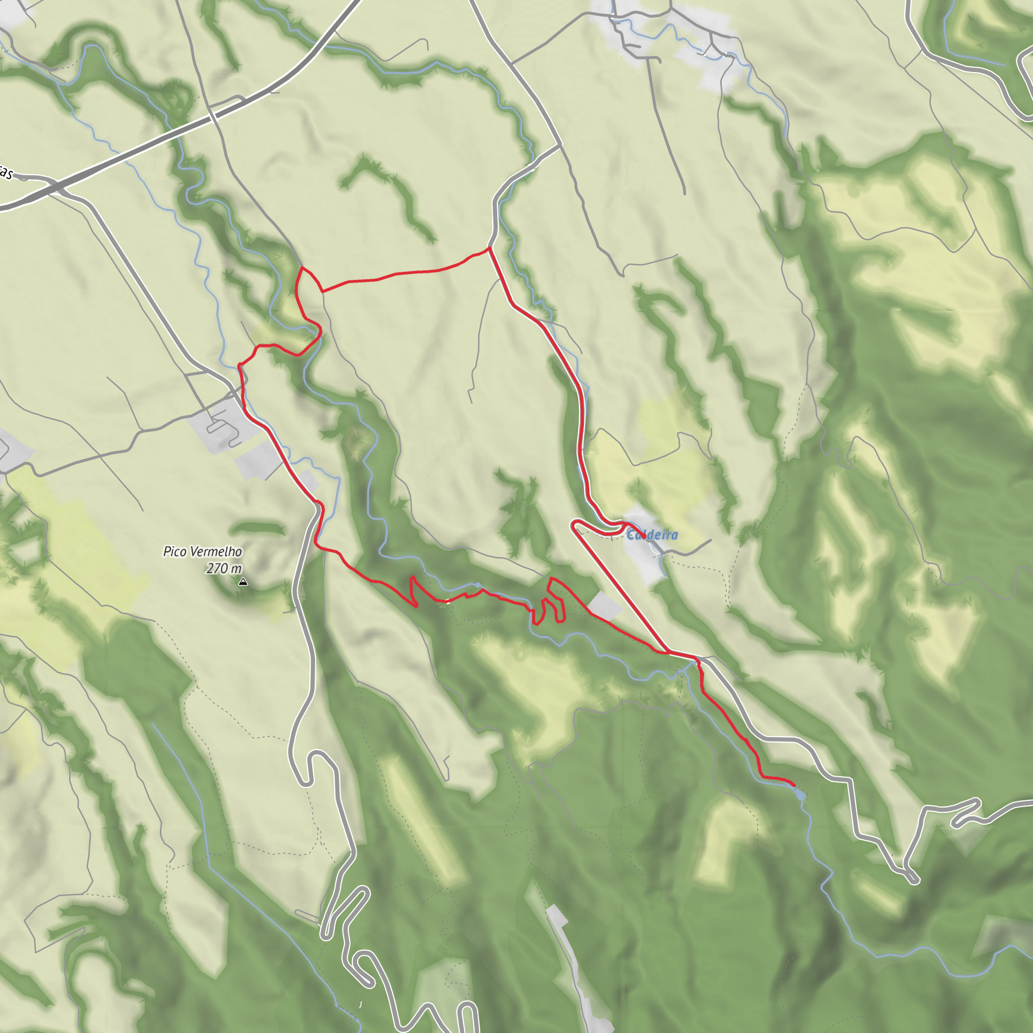
Set on the volcanic slopes above Ribeira Grande on São Miguel, this roughly 8.6 km / 5.3 mile circular walk combines geothermal scenery, industrial heritage, forest track, streams, and one of the island’s best-known waterfalls. Expect around 300 m / 984 ft of total ascent, spread across a route that feels varied rather than relentlessly steep, with a typical walking time of about 3 hours. The official trail is classed as circular and currently listed as medium difficulty, which fits the mix of paved sections, dirt track, stream crossings, stairs, and some uneven ground. (trails.visitazores.com)
The start is at Caldeiras da Ribeira Grande, the geothermal area inland from Ribeira Grande, near the thermal baths, recreation area, and restaurant facilities. A useful nearest landmark for the trailhead is the Termas das Caldeiras da Ribeira Grande / Caldeiras da Ribeira Grande hot springs area, where the official trail information is located by the adjacent parking area. (trails.visitazores.com)
Getting there is easiest by car. From Ribeira Grande, drive uphill toward Caldeiras da Ribeira Grande and park near the thermal baths and trail information panel. If you are relying on public transport, the most practical nearby seasonal option is the Lagoa do Fogo shuttle stop at Caldeira Velha, from which the Salto do Cabrito trail is noted as being about 2 km away on foot; this is especially relevant in the summer period when road access restrictions apply on the Lagoa do Fogo road between June 15 and September 30. Outside that setup, public transport access is more limited, so checking local bus connections into Ribeira Grande and then arranging a taxi for the final uphill section is usually the simplest plan. (lagoadofogo.pt)
The opening section introduces the landscape immediately: steaming ground, mineral-stained water, and the unmistakable signs of active volcanism. Caldeiras da Ribeira Grande is not just a scenic starting point but part of a geothermal field linked to the volcanic activity of Vulcão do Fogo. This gives the walk a strong sense of place from the first few minutes, and it also explains why the route passes so many features tied to heat, water, and energy production. (itrails.visitazores.com)
Route character and what to expect
From the caldeiras, the route heads down an asphalt road to a junction, then left toward Lombadas/Monte Escuro. Early on, you reach a pipeline and a short spur leading toward the Fajã do Redondo Dam, one of the notable engineered landmarks on the walk. After returning to the pipeline, the trail continues beside it before dropping along a road lined with Japanese cedar (Cryptomeria japonica). This part is usually straightforward underfoot, but damp conditions can make the surface slick, especially where leaf litter builds up. (trails.visitazores.com)
The middle part of the hike becomes more rugged and interesting. The route descends toward the deactivated Fajã do Redondo Hydroelectric Power Plant, then crosses a stream and climbs stairs to a metal walkway. From there, a steeper stair section leads toward the Salto do Cabrito Hydroelectric Power Plant. These industrial remnants are a major part of the trail’s identity: this is not a pure wilderness walk, but a route where volcanic energy, water power, and modern infrastructure all meet in a compact landscape. (trails.visitazores.com)
At the waterfall itself, the gorge tightens and the scenery becomes more dramatic. Salto do Cabrito drops through a rocky volcanic cleft shaped by tectonic forces and surrounded by dark volcanic rock. It is one of the visual highlights of the route and often the point where hikers pause longest. The terrain around the falls
Surfaces
Unknown
Concrete
Asphalt
Cobblestone
Gravel
Unpaved
Paved
Ground
Comments and Reviews
User comments, reviews and discussions about the Caldeiras da Ribeira Grande - Salto do Cabrito, Portugal.
average rating out of 5
0 rating(s)



