Download
3D Flyover
Add to list
More
2.8 km
~37 min
41 m
Loop
“Stroll gentle battlefield meadows into whispering woods, where vivid history and quiet nature intertwine.”
This easy loop is a low-stress walk through open battlefield ground and pockets of woodland, with gentle grades and no meaningful climbing—ideal for a short outing that mixes nature, interpretation, and big-history context. Plan on roughly 3 km (1.9 mi) total, with about 0 m (0 ft) of elevation gain overall (any rises are short and subtle).
Getting to the start (car + public transport)
Start area: the most straightforward place to begin is the main visitor area at Bushy Run Battlefield, 1253 Bushy Run Road, Jeannette, PA 15644. (bushyrunbattlefield.com)
- By car: follow the posted battlefield signs off the local routes; there are multiple parking areas on-site, including lots near the visitor center and near trail access. (bushyrunbattlefield.com)
- By public transport: there isn’t a reliable “last-mile” transit option directly to the battlefield entrance; the practical approach is to use regional transit into the Pittsburgh/Monroeville area and then rideshare/taxi the remaining distance to 1253 Bushy Run Rd. (Cell service is usually fine, but don’t assume a quick pickup right at closing time.)
Grounds are generally open dawn to dusk. (bushyrunbattlefield.com)
What the loop is like underfoot
Expect a wide, easy path that’s typically dirt/packed earth, with short sections that can hold water after rain. The terrain is mostly rolling-to-flat, so the effort level stays consistent—more of a relaxed stroll than a workout. If you’re using HiiKER, keep an eye on where the loop transitions between open lawn-like areas and wooded edges; in open sections, informal footpaths can tempt you off-route.
Landmarks and interpretive points (and why this place matters)
You’re walking through a landscape tied to the Battle of Bushy Run (August 5–6, 1763), fought during Pontiac’s War. A British relief column under Colonel Henry Bouquet was attacked by a combined force of Native warriors (including Delaware, Shawnee, Mingo, and Huron/Wyandot groups) near what is now Harrison City/Jeannette area. (en.wikipedia.org)
Along the loop and nearby connectors, you’ll encounter wayfinding/interpretive signs that explain the battle’s movements and the broader frontier conflict. (bushyrunbattlefield.com)
Because the hike is short, it’s easy to slow down and treat it like a walking tour: - Around 0.5 km (0.3 mi): you’ll likely settle into the rhythm of the loop—open views across the battlefield grounds make it easier to imagine lines of movement and why terrain mattered. - Around 1.5 km (0.9 mi): the route typically feels more sheltered as it skirts wooded sections; this is where shade and leaf litter can make the tread a bit slick after rain. - Around 2.5–3.0 km (1.6–1.9 mi): you’ll arc back toward the main grounds/parking, with more signage and maintained areas.
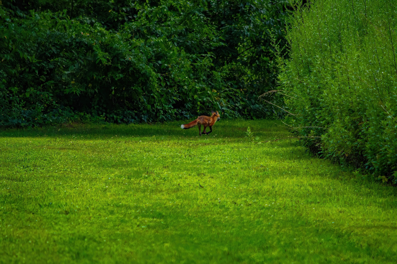
Nature and wildlife to look out for
This is classic western Pennsylvania edge habitat—mature trees along the margins, mixed understory, and open grassy areas that attract birds and small mammals. - Deer are common at dawn/dusk; give them space, especially in spring when fawns may be nearby. - Ticks are the main “wildlife hazard” here in warm months—open grass plus woodland edges is prime tick territory. Long socks, repellent, and a post-hike check are worth it. - After wet weather, watch for muddy patches and slick leaves in shaded sections.
Practical planning (what to bring + what to watch)
- Footwear: light hikers or trail runners are fine; choose something with grip if it’s been raining.
- Water: for 3 km (1.9 mi) you won’t need much, but bring a bottle in summer—open areas can feel warmer with less shade.
- Time: most hikers will take 45–75 minutes, longer if you stop to read signs and explore spurs.
- Respectful travel: this is a historic battlefield landscape—stay on established paths, don’t disturb ground features, and treat monuments/markers as protected resources.
If you want the cleanest navigation, load the loop in HiiKER before arriving and keep it handy at junctions where smaller, unnamed

Comments and Reviews
User comments, reviews and discussions about the Bushy Run Battlefield Loop, Pennsylvania.
average rating out of 5
0 rating(s)