Download
3D Flyover
Add to list
More
4.6 km
~1 hrs 8 min
141 m
Out and Back
“Follow a shaded creek to twin waterfalls, where mossy spray and slick, rooty climbs reward careful steps.”
This is a short, waterfall-focused out-and-back style hike of about 5 km (3.1 mi) with roughly 100 m (330 ft) of climbing, typically feeling “Medium” because the terrain near the falls is often steep, slick, and uneven even when the overall elevation gain is modest. Expect a mix of wooded creek corridor, short punchy rises, and a couple of high-attention sections where mud, wet rock, and leaf litter can make footing unpredictable.
Getting to the trailhead (car + public transport)
I’m missing the key location detail (“Hike head: near …” is blank), so I can’t reliably convert coordinates to a nearby address/landmark or give accurate directions. If you share any one of the following, I’ll pin the nearest known start point and tailor the approach directions:
- a town/state (or park/forest name), or
- a parking lot name, road name, or a Plus Code, or
- the lon/lat for the trailhead.
In the meantime, plan for a typical waterfall trailhead setup: - By car: look for a small gravel/pull-off style lot; arrive early on weekends because waterfall hikes fill quickly. Bring a small trash bag—these areas often have limited bins. - By public transport: most waterfall trailheads are not directly served; the usual pattern is bus/train to the nearest town, then a rideshare/taxi to the trailhead. If you tell me the nearest town, I’ll outline the most realistic transit chain and where to get dropped off safely.
What the route feels like underfoot
From the start, the trail usually settles into a shaded hardwood corridor with the sound of moving water nearby. The first kilometer or so (0.6 mi) tends to be the easiest: packed dirt with roots and occasional rocks. After that, the character often changes as you begin tracking closer to the creek and the terrain tightens—expect: - Root lattices across the tread (ankle-rollers when wet) - Short, steep pitches where erosion has exposed rock - Muddy pockets in low spots, especially after rain or snowmelt
Even though the total gain is only about 100 m (330 ft), it can come in brief bursts, which is why pacing matters more than the numbers suggest.
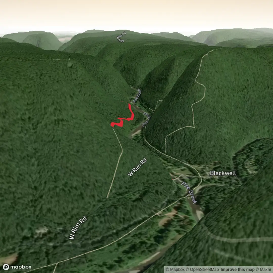
Jerry’s Run Falls area (landmarks + hazards)
As you approach the first falls, you’ll usually notice a cooler, damper microclimate—mossy rock, darker soil, and more ferns. Waterfall viewpoints are often reached via informal side paths; treat these as optional and higher-risk: - Edges can be undercut and look stable until they aren’t. - Spray zones create a thin film on rock that’s slick even in dry weather. - If there’s any scrambling, keep three points of contact and avoid stepping on bright green moss (it’s both slippery and fragile).
If you’re using a navigation aid, keep HiiKER open and zoomed in around the falls area—waterfall trails commonly have braided footpaths where people wander to different viewpoints and accidentally create confusing spurs.
Between the falls: creekside travel and the “slow kilometer”
The middle section between Jerry’s Run Falls and Bohen Run Falls is often the part that dictates your overall time. On paper it may be only a kilometer or two, but it can be slow because of: - Narrow bench trail above the creek - Erosion gullies where you step up/down repeatedly - Possible small crossings or wet seep areas
Budget extra time here if the ground is saturated. If water is high, don’t force a crossing—turning around is normal on waterfall hikes after heavy rain.
Bohen Run Falls area (best viewing + etiquette)
The second falls area typically has a similar setup: a main trail corridor with a few social paths leading to overlooks. The safest viewing is usually from set-back rock shelves or established clearings rather than right at the lip or plunge pool edge.
Good etiquette that also keeps you safer: - Don’t kick steps into muddy banks (it accelerates erosion). - Keep groups spread out at viewpoints—crowding increases the chance of someone being bumped on slick rock. - If you bring a dog, a short leash near the falls is wise; wet rock + excitement is a common mishap combo.
Nature and wildlife you’re likely to notice
Waterfall drainages tend to be rich in small-scale biodiversity: - Spring–early summer: wildflowers, ferns, and amphibian activity near seeps (watch where you step). - Summer: dense canopy shade, insects near water; consider long sleeves or repellent. - Fall: leaf cover hides roots and rocks—trekking poles help with hidden footing changes. - Winter/shoulder seasons: ice can form in shaded sections; traction devices can be the difference between “fine” and “sketchy.”
Wildlife varies by region, but common creek-corridor encounters include songbirds, woodpeckers, deer, and smaller mammals. In many U.S. forested waterfall areas, it’s also smart to assume ticks are present in warm months—do a post-hike check.
Planning notes (time, gear, and safety)
- Typical time: many hikers take 1.5–3 hours for ~5 km (3.1 mi) depending on mud, photo stops, and how much time is spent at viewpoints.
- Footwear: trail shoes with solid tread are usually enough; after rain, waterproof footwear helps.

Comments and Reviews
User comments, reviews and discussions about the Jerrys Run Falls, Bohen Run Falls, Pennsylvania.
average rating out of 5
0 rating(s)