
Download
3D Flyover
Add to list
More
620 m
~8 min
14 m
Out and Back
“A brief forest wander leads to a two-tier waterfall, where slick stones reward careful steps.”
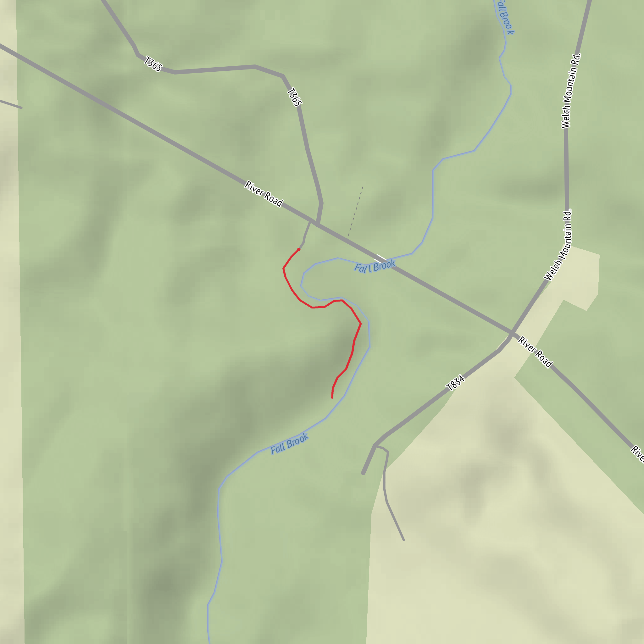
From the pull-off/parking area, you’re essentially doing a short, mostly level out-and-back to a two-tier waterfall—about 1.0 km / 0.6 mi round trip with roughly 0 m / 0 ft of net elevation gain (expect a few tiny ups and downs on the footpath). Even though the stats are short, the “Medium” feel usually comes from wet footing, roots, and slick rock near the creek and falls, not from steep climbing.
Getting to the start (car + public transport)
By car: This hike is most commonly approached in Tioga State Forest near Morris Run/Blossburg in Tioga County, Pennsylvania, using a small roadside pull-off close to the falls access path. Because informal waterfall trailheads can be easy to miss and parking can be limited, it’s worth loading the route in HiiKER before you leave cell service and confirming the exact pull-off and any seasonal road notes. (Some guides describe this as a short “falls trail” rather than a signed, maintained trail.) (alltrails.com)
By public transport: There’s no reliable “to-the-trailhead” transit for this rural corner of Tioga County. The practical option is to get as close as you can by bus to a larger town (often Wellsboro or Mansfield depending on schedules), then use a rideshare/taxi for the last leg. Plan on no service at the trailhead and arrange a pickup time in advance.
If you share the lon/lat you have for “Hike head: near …”, I can convert it to the nearest known address or landmark and tailor the directions precisely.
You’ll start on a short path that quickly puts you into mixed northern hardwood forest typical of the Tioga State Forest region. The walking is straightforward at first—packed dirt with leaf litter—then becomes more “watch-your-feet” as you near the water: mud pockets after rain, exposed roots, and slick stones where the spray keeps everything damp. (myhikes.org)
As you close in on the falls, you’ll hear it before you see it. The waterfall here is often described as two-tiered, and the best viewing tends to be from the established edges of the path and any obvious hardened viewpoints. Resist the temptation to shortcut down steep banks: the soil near creek edges can be undercut, and wet leaves on a slope are a classic slip hazard on short waterfall walks. (myhikes.org)
What to look out for (footing, water, and seasonal conditions)
- Slippery rock and algae: Even in dry weather, shaded creek rock can stay slick. Treat every dark, shiny stone as low-traction.
- High water after storms/snowmelt: The falls area can feel more “serious” when the creek is up—spray increases, banks soften, and stepping stones disappear.
- Ticks and biting insects: In late spring through summer, do a tick check and consider long socks or gaiters.
- Winter/shoulder season ice: Short trails to waterfalls often develop thin, hard-to-see ice near the spray zone—microspikes can be the difference between “easy stroll” and “sketchy.”
Landmarks, nature, and wildlife
The main landmark is the falls themselves, but pay attention to the creek corridor: mossy boulders, hemlock pockets, and ferny understory are common in these shaded drainages. Wildlife is typical for north-central Pennsylvania forest—white-tailed deer, squirrels, songbirds, and occasionally signs of black bear (tracks/scat) though sightings are less common on such a short, busy spur.
Historical context (why this area looks the way it does)
This part of Tioga County has deep ties to 19th-century timbering and coal. Nearby communities and watersheds were shaped by coal development, and the broader region’s land history includes intensive extraction followed by state forest recovery and management. Knowing that helps explain why you may notice old grades, disturbed soils in places, or second-growth forest structure in the wider area. (en.wikipedia.org)
Surfaces
Ground
Unknown
Comments and Reviews
User comments, reviews and discussions about the Fall Brook Falls, Pennsylvania.
average rating out of 5
0 rating(s)
