Download
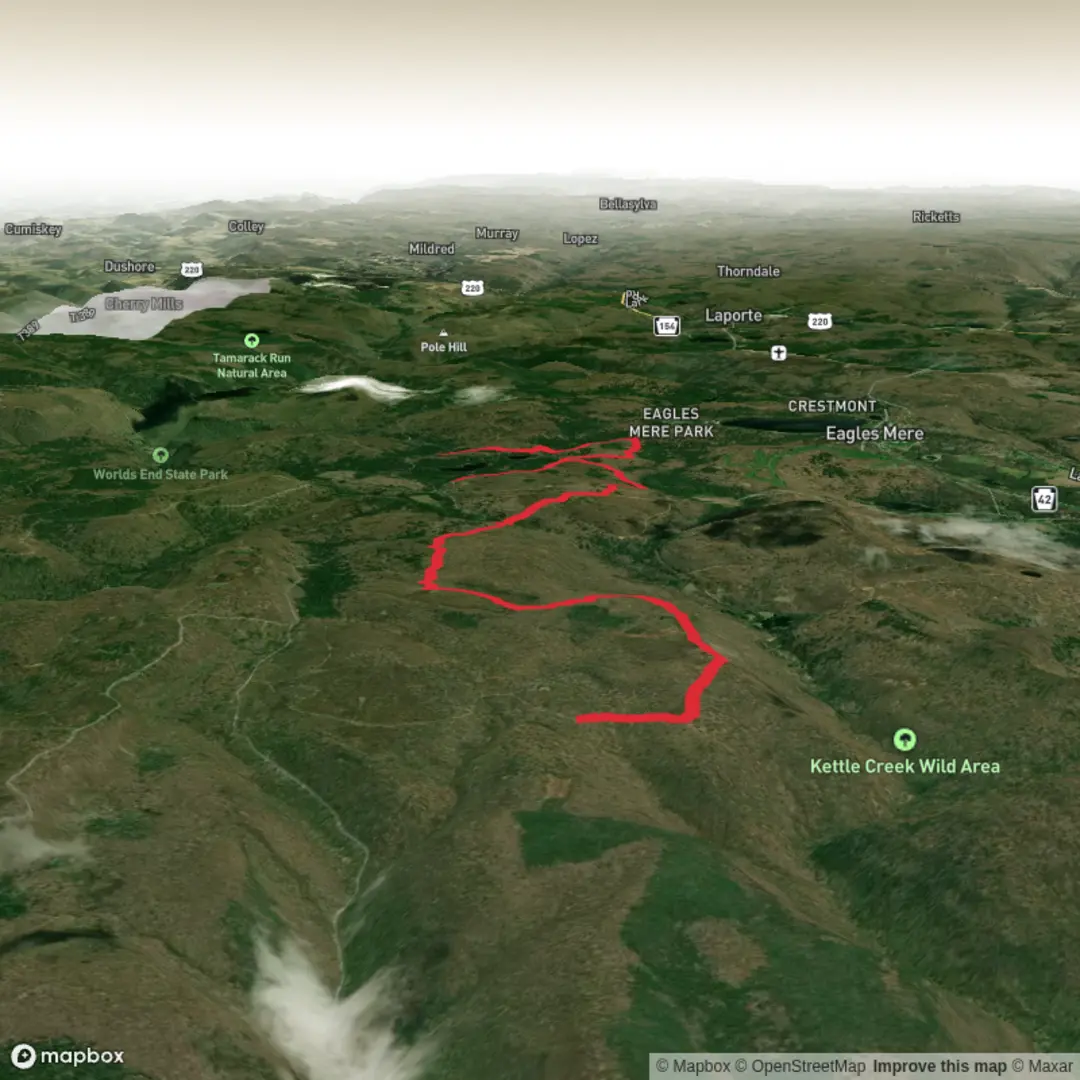
3D Flyover
Add to list
More
11.3 km
~2 hrs 27 min
118 m
Point-to-Point
“Cruise through Loyalsock’s hushed hardwoods on gentle grades—just expect puddles and hoof-churned mud.”
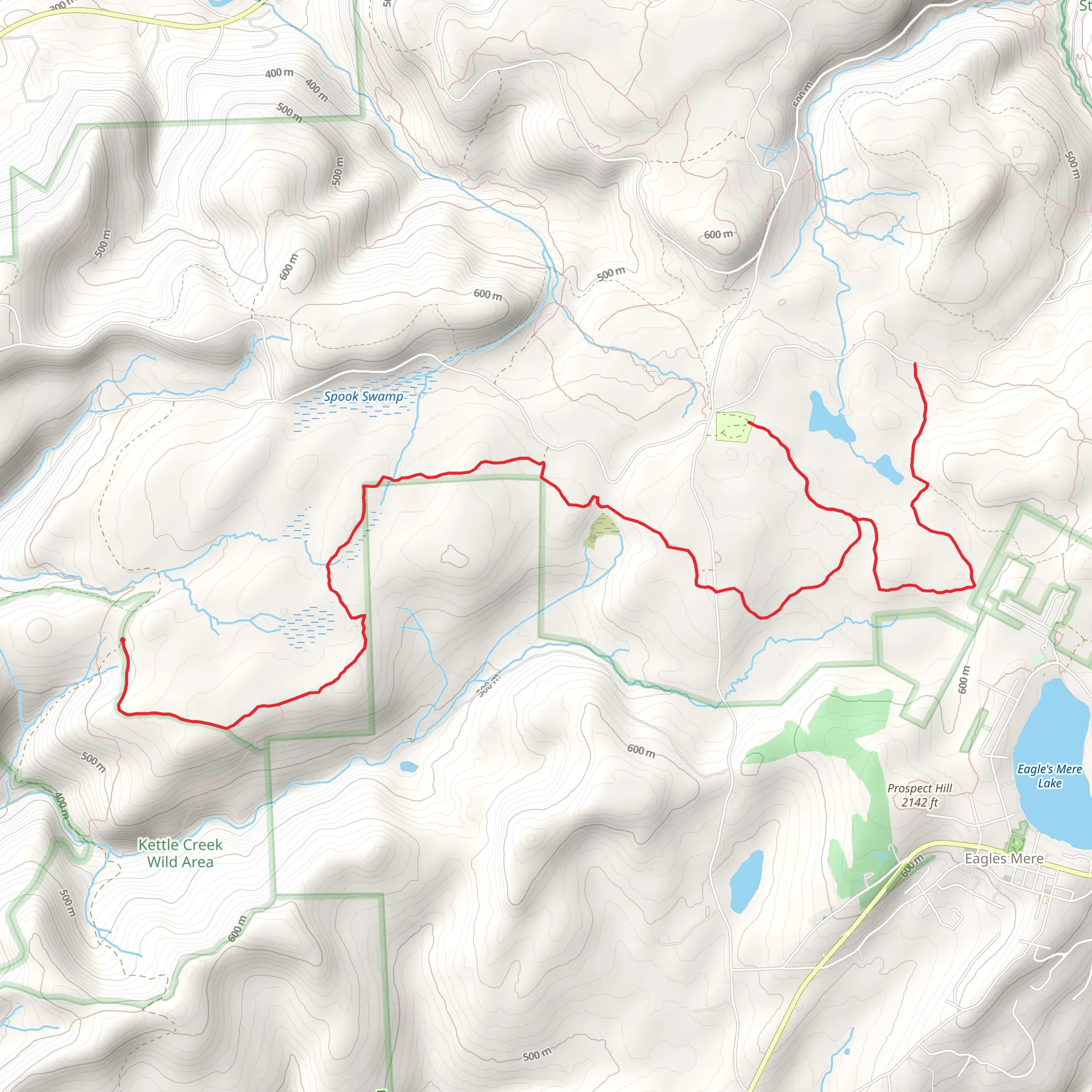
This is a mellow, mostly-woodland walk in Loyalsock State Forest that’s often used as part of bigger loops (especially those that also visit High Knob Overlook). At roughly 11 km (6.8 mi) with about 100 m (330 ft) of total climbing, it’s a good “cruise” day: gradual grades, wide tread in many places, and lots of classic north-central Pennsylvania forest scenery—just be ready for mud in wet seasons because shared-use bridle routes can hold water.
Start / trailhead area (nearest landmark & access point)
The most reliable “anchor” for the start is the Bridle Trailhead Camping Area in Loyalsock State Forest (an equestrian-focused campground/trailhead). ReserveAmerica lists approximate coordinates 41.437693, -76.606489, which places it in the Hillsgrove area of Sullivan County. (reserveamerica.com)
From there, you’re also within easy reach of the forest road network that leads toward High Knob Overlook (a major nearby landmark and common add-on). (endlessmountains.org)
Getting to the start (car + public transport reality check)
By car - Aim for the Hillsgrove, PA area (Sullivan County), then follow state forest roads toward the Bridle Trailhead / equestrian camping loop. The last miles are typically unpaved gravel/dirt forest roads, so drive slowly and expect potholes and washboarding—especially after storms or spring thaw. (If you’re navigating, load the route in HiiKER before you lose cell service.)
By public transport - There isn’t practical public transit to the Bridle Trailhead itself. The closest you can usually do is reach a larger town (often Williamsport or another regional hub) and then use a taxi/rideshare or a pre-arranged shuttle for the final rural drive. Plan on limited/no cell coverage near the forest roads, so arrange pickup times in advance and keep offline maps in HiiKER.
What the hike feels like underfoot (and why it’s rated Easy)
Expect a shared-use bridle trail character: a corridor that can be wider than a typical footpath, with a surface that ranges from firm dirt to soft, churned sections where horses have passed. After rain, some stretches can become muddy or rutted, and you may step around puddles rather than through them.
With only about 100 m (330 ft) of gain over 11 km (6.8 mi), the climbing is generally spread out—more like gentle rises and dips than sustained hills. The “difficulty” tends to come less from steepness and more from wet footing and the occasional uneven, hoof-pocked tread.
Landmarks, forest character, and wildlife to watch for
This part of the Loyalsock region is classic Allegheny Plateau woodland: mixed hardwoods (oak, maple, birch) with hemlock pockets in cooler drainages, plus dense understory in summer. You’ll often notice: - Seasonal wildflowers in spring along the edges (trillium and other woodland blooms are common in this broader region). - **Song
Surfaces
Unknown
Gravel
Comments and Reviews
User comments, reviews and discussions about the Loyalsock Bridle Trail, Pennsylvania.
average rating out of 5
0 rating(s)
