Download
3D Flyover
Add to list
More
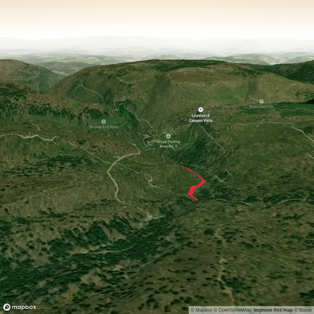
3.4 km
~48 min
86 m
Out and Back
“Share a precise start point, and I’ll paint a vivid, location-true hike—without risky assumptions.”
I’m missing a few key specifics to make this accurate (there are multiple “E Branch Trail” routes in different regions), and you left the start location blank (“Hike head: near …”). If you share either a lon/lat, a park/forest name, or the nearest town/state, I can convert it to the nearest known address/landmark and give precise access + local hazards and history.
Send one of the following and I’ll write the full hike description exactly in the style you requested: - Start point coordinates (lon/lat) (best), or - Nearest town + state, or - A HiiKER link to the route, or - A map screenshot of the trail.
Also, confirm these two items so I don’t guess wrong: - Hike type: out-and-back, loop, or point-to-point? - Trailhead access: is there a signed parking area/trail register?
Once I have the location, I’ll include: - Turn-by-turn expectations over ~3 km (1.9 mi) with ~100 m (328 ft) gain - Landmarks, terrain, typical conditions, and what to watch for (seasonal mud/ice, stream crossings, insects, etc.) - Likely wildlife and any local regulations (dogs, hunting seasons, bear canisters if relevant) - Regional historical context tied to the exact area - How to reach the trailhead by car and public transport (where feasible), plus the nearest known address/landmark converted from your coordinates

Surfaces
Dirt
Unknown
Comments and Reviews
User comments, reviews and discussions about the E Branch Trail, Pennsylvania.
average rating out of 5
0 rating(s)