
Download
3D Flyover
Add to list
More
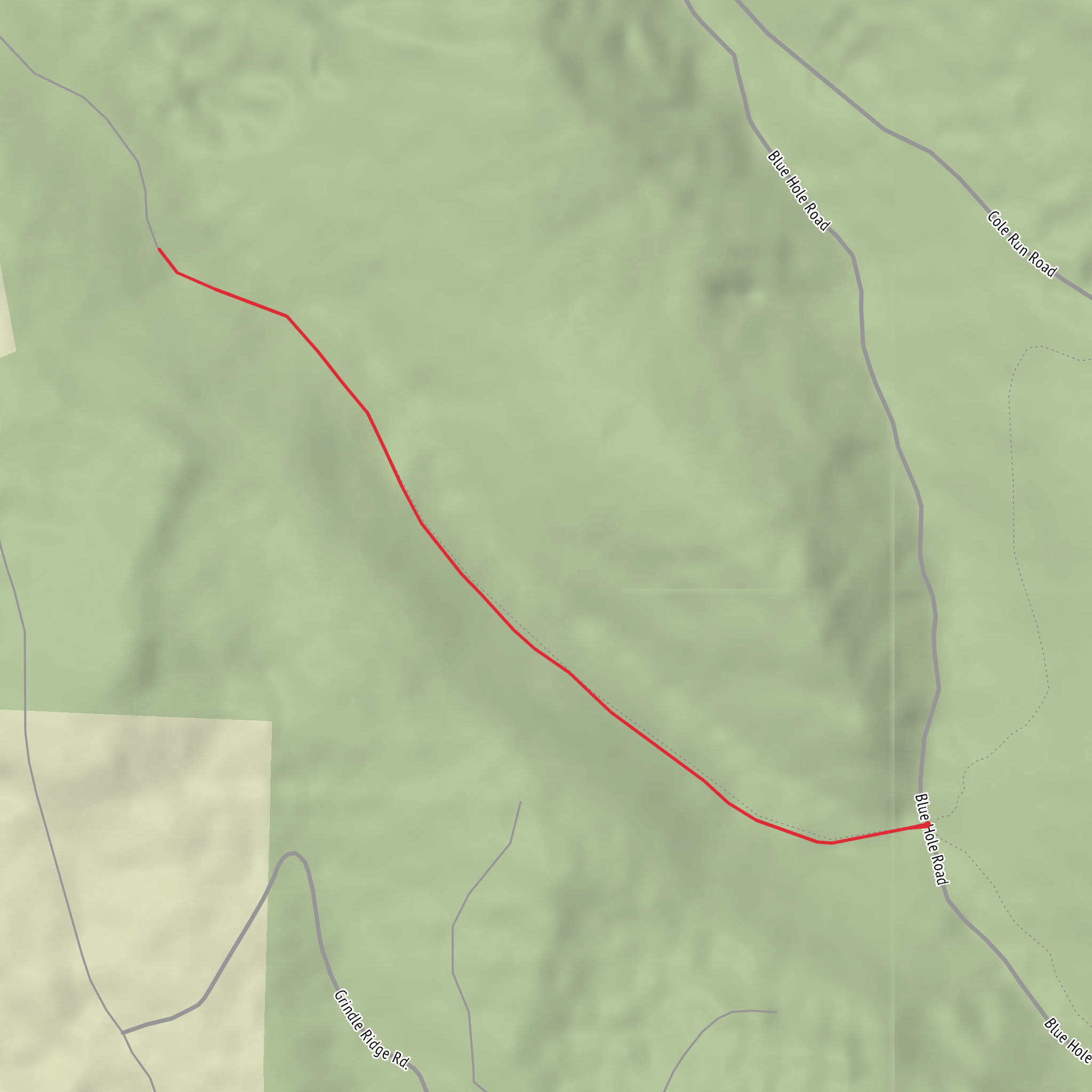
3.5 km
~53 min
111 m
Out and Back
“Share a pin or park name, and I’ll paint a vivid, planning-ready portrait of Gary Run.”
I’m missing a few key pieces of information needed to describe the correct “Gary Run Trail” and to convert the start location into a nearby address/landmark.
Please send one of the following so I can lock onto the right trailhead:
1) Trailhead coordinates (lat, lon) (best), or
2) The state + nearest town/park/forest (e.g., “near Frostburg, MD” or “near Ohiopyle State Park, PA”), or
3) A HiiKER link to the route, or
4) A map screenshot showing the start point.
Also, if you know them, please fill these in (even roughly): - Hike head: near (currently blank) - Hike type: loop / out-and-back / point-to-point
Once you share that, I’ll provide a planning-ready description for a ~4 km (2.5 mi) hike with ~100 m (328 ft) gain, including: what the tread is like, where the climbing is, notable landmarks, likely wildlife/seasonal conditions, hazards to watch for, historical context of the area, and how to reach the trailhead by car and public transport—using HiiKER for navigation references only.
Comments and Reviews
User comments, reviews and discussions about the Gary Run Trail, Pennsylvania.
average rating out of 5
0 rating(s)
