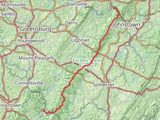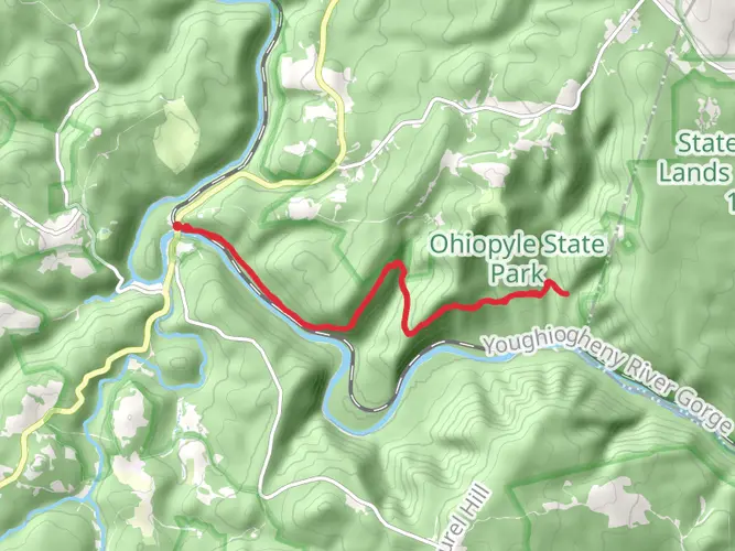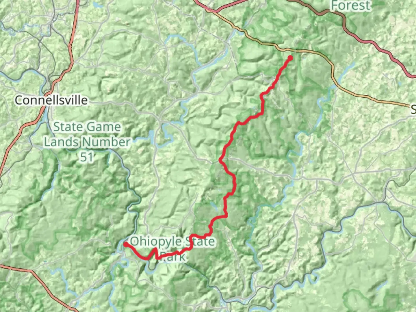
Garrett Street to Fire Tower Road via Laurel Highlands Hiking Trail
Download
3D Flyover
Add to list
More
46.1 km
~2 days
1603 m
Point-to-Point
“Embark on a captivating hike through diverse landscapes, rich history, and stunning vistas in Pennsylvania's Laurel Highlands.”
Starting your journey near Somerset County, Pennsylvania, this trail offers a captivating experience through the Laurel Highlands region. Spanning approximately 46 kilometers (about 28.5 miles) with an elevation gain of around 1,600 meters (5,250 feet), this point-to-point trail is rated as medium difficulty, making it suitable for hikers with some experience.
Getting There
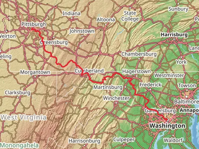
To reach the trailhead, you can drive to the vicinity of Garrett Street, which is accessible from nearby towns. If you're relying on public transport, the closest major hub is Pittsburgh, from where you can take a bus or train to Somerset County. From there, local taxi services or rideshare options can bring you to the trailhead.
Trail Highlights
Scenic Landscapes
As you embark on this trail, you'll traverse a variety of landscapes, from dense forests to open meadows. The Laurel Highlands are renowned for their natural beauty, offering panoramic views that are particularly stunning during the fall when the foliage bursts into vibrant colors.
Wildlife and Flora
The trail is home to a diverse array of wildlife. Keep an eye out for white-tailed deer, black bears, and a variety of bird species. The flora is equally impressive, with towering hemlocks, rhododendrons, and mountain laurels lining the path, providing a lush backdrop to your hike.
Historical Significance
The Laurel Highlands region is steeped in history. During your hike, you'll be walking through areas that were once traversed by Native American tribes and early European settlers. The trail itself is part of the larger Laurel Highlands Hiking Trail, which has been a popular route for outdoor enthusiasts since its establishment in the 1970s.
Navigation and Safety
Given the trail's length and elevation changes, it's crucial to be well-prepared. Use the HiiKER app to download maps and track your progress. The trail is well-marked, but having a reliable navigation tool will ensure you stay on course. Weather can be unpredictable, so pack accordingly, and always carry enough water and snacks.
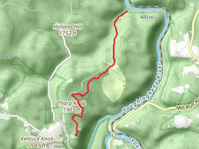
Notable Landmarks
As you approach the midpoint of the trail, you'll encounter the Seven Springs Mountain Resort, a popular spot for a brief rest. Further along, the trail leads to the iconic Fire Tower, offering breathtaking views of the surrounding landscape. This is a perfect spot to pause and take in the expansive vistas.
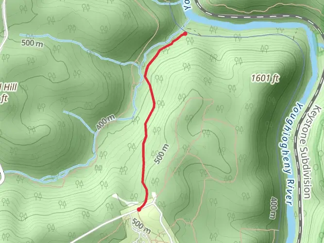
Final Stretch
The trail concludes at Fire Tower Road, where you'll find parking and facilities to rest after your hike. If you've arranged for a pickup, this is the ideal spot to meet. Alternatively, you can plan a return hike or explore nearby attractions in the Laurel Highlands area.
This trail offers a rewarding experience for those looking to immerse themselves in the natural beauty and history of Pennsylvania's Laurel Highlands.

What to expect?
Activity types
Comments and Reviews
User comments, reviews and discussions about the Garrett Street to Fire Tower Road via Laurel Highlands Hiking Trail, Pennsylvania.
average rating out of 5
0 rating(s)