Download
3D Flyover
Add to list
More
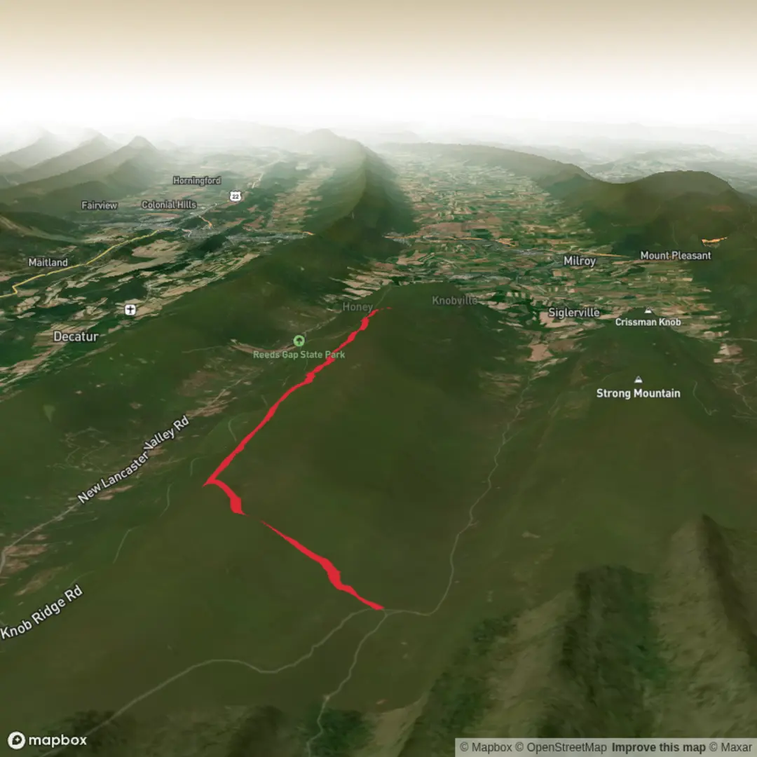
10.7 km
~2 hrs 40 min
314 m
Point-to-Point
“Chasing the right High Top Trail begins with a pin on the map and a few shared details.”
I’m missing a few key pieces of information needed to describe the right “High Top Trail” and to convert the start location into a nearby address/landmark.
Please send one of the following, and I’ll write the full hike description exactly in the style you requested:
1) A lon/lat for the trailhead (best), e.g. -78.1234, 38.5678
or
2) The park/region + state/country (e.g., “Shenandoah National Park, VA” or “High Top Mountain, VA”)
or
3) A HiiKER link to the route
Also confirm these two items (even if approximate):
- Hike head: near … (it’s currently blank)
- Hike type: out-and-back, loop, or point-to-point?
Once I have the location, I’ll: - Convert the coordinates to the nearest known address or significant landmark - Give distance + elevation in km/miles and metres/feet - Include getting there by car + public transport (as feasible for that area) - Cover landmarks, terrain, seasonal conditions, water, wildlife, hazards, and historical context relevant to that specific region - Reference HiiKER only for navigation tools

Surfaces
Dirt
Unknown
Comments and Reviews
User comments, reviews and discussions about the High Top Trail, Pennsylvania.
average rating out of 5
0 rating(s)