Download
3D Flyover
Add to list
More
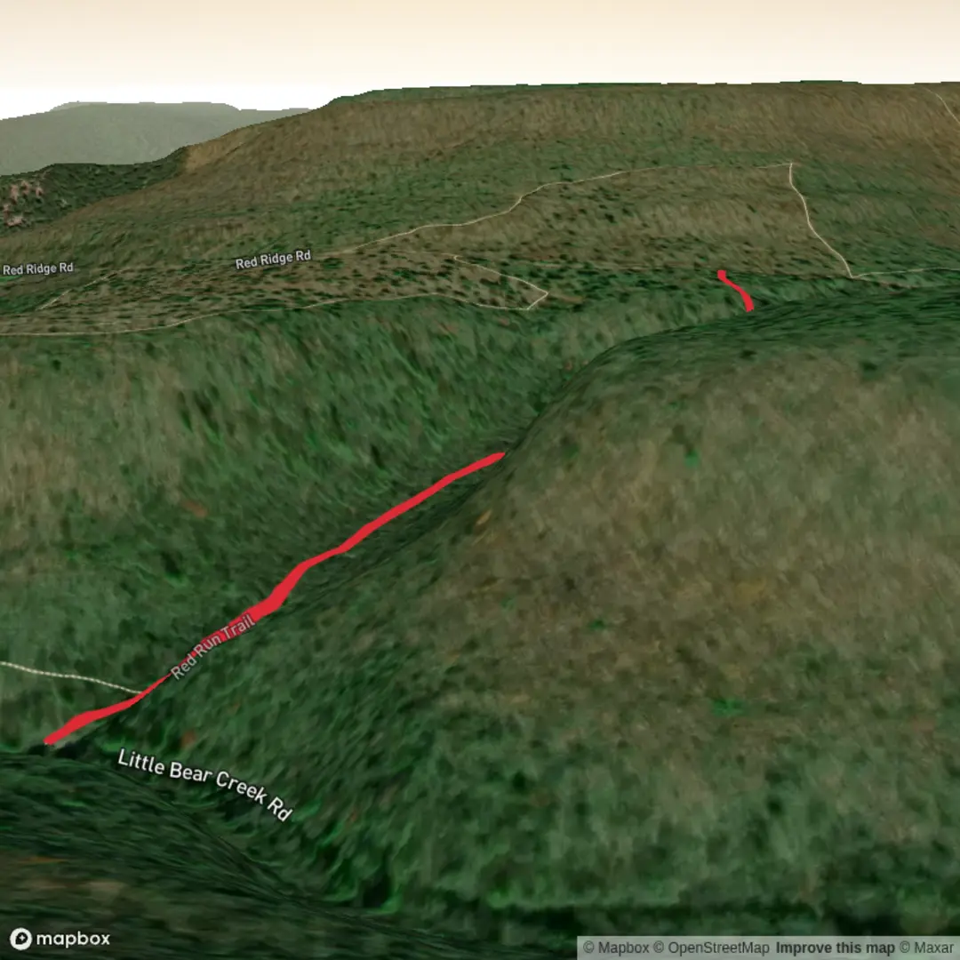
1.9 km
~31 min
87 m
Out and Back
“A missing map pin turns Red Run into a mystery—share the trailhead, and the story unfolds.”
I’m missing the key piece that lets me describe this specific Red Run Trail accurately: the location. There are multiple “Red Run Trail” routes in the U.S., and your “Hike head: near …” line is incomplete—without at least a state/park name or a GPS coordinate, I can’t reliably give directions, landmarks, wildlife, hazards, or the nearest address/landmark for the trailhead.
Send one of the following and I’ll write the full hike description exactly in the style you requested (with distances/elevation in km+mi and m+ft, HiiKER for navigation, history/nature/wildlife, and how to get there by car/public transport):
1) Trailhead coordinates (lat, lon), or
2) A HiiKER link, or
3) State + nearest town/park/forest (e.g., “near Frostburg, MD” or “in [Park Name], [State]”), or
4) A map screenshot that shows the trailhead and nearby roads/labels.
Also confirm these two details (quick answers are fine):
- Hike type: out-and-back, loop, or point-to-point?
- Trailhead “near”: what should that be (town/landmark), if you know it?
Once you provide that, I’ll convert the lon/lat to the nearest known address or significant landmark and build a practical, preparation-focused description for a ~2 km (1.2 mi) hike with ~100 m (330 ft) gain at a Medium difficulty.

Comments and Reviews
User comments, reviews and discussions about the Red Run Trail, Pennsylvania.
average rating out of 5
0 rating(s)