Download
3D Flyover
Add to list
More
39.2 km
~2 days
54 m
Multi-Day
“"Explore the serene Lehigh Gorge Trail, a historic, wildlife-rich path ideal for an all-levels, picturesque hike or bike."”
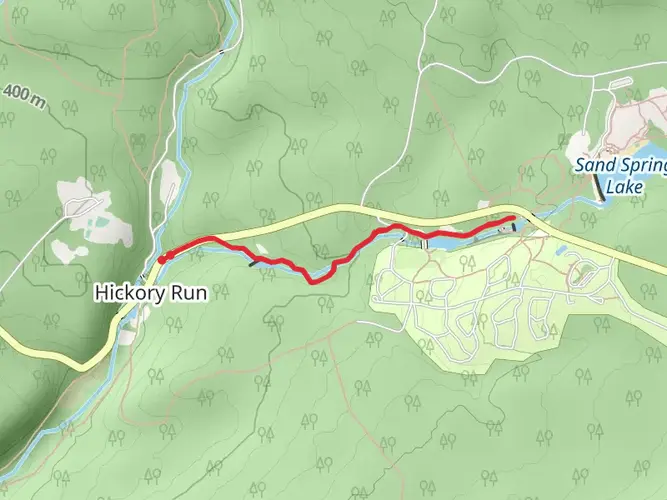
The Lehigh Gorge Trail, stretching approximately 39 kilometers (about 24 miles), offers a scenic journey through the Lehigh Gorge State Park with virtually no elevation gain, making it an accessible route for hikers of all skill levels. The trailhead is conveniently located near Luzerne County, Pennsylvania, and the trail itself is a point-to-point path that follows the beautiful Lehigh River.
Getting to the Trailhead
To reach the starting point of the Lehigh Gorge Trail, hikers can drive to White Haven, PA, which is the northern terminus of the trail. There is a parking area near the trailhead for those arriving by car. For those opting for public transportation, check local transit schedules for the nearest routes and stops.
Trail Experience
As you embark on the Lehigh Gorge Trail, you'll be walking on a well-maintained path that was once a historic railroad corridor. This flat and easy trail is ideal for both walking and biking, and it's also wheelchair accessible. The surface is primarily crushed stone, which provides a stable footing throughout the journey.
Historical Significance and Landmarks
The region is steeped in history, with the trail itself being a reminder of the industrial era when coal and lumber were transported along the Lehigh River. As you hike, you'll encounter remnants of this past, including old locks from the Lehigh Canal, which run parallel to the trail in some sections.
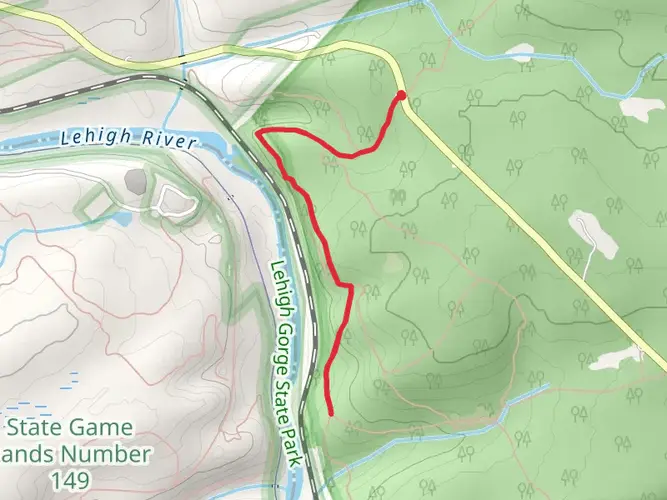
Approximately 15 kilometers (9 miles) into the hike, you'll reach the town of Rockport, where you can explore a historic railroad tunnel. Further along, near the 21-kilometer (13-mile) mark, is the Glen Onoko access area, which serves as a gateway to several waterfalls and the challenging Glen Onoko Falls Trail.
Nature and Wildlife
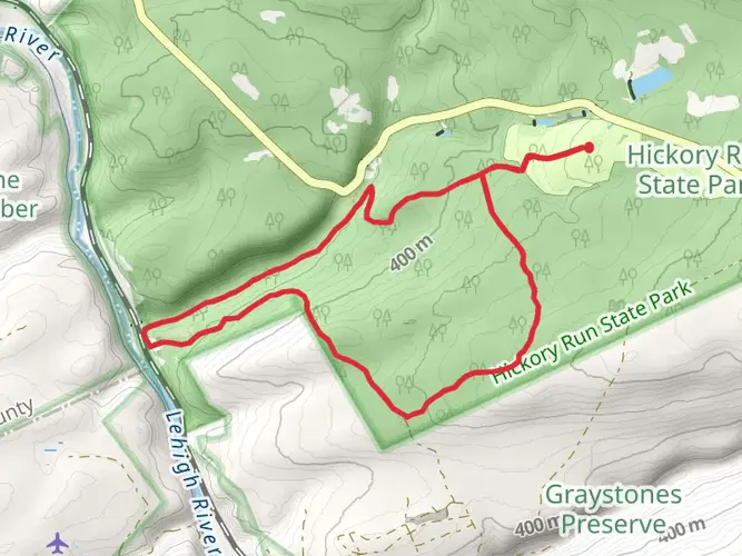
The trail is enveloped by the lush forests of the Pocono Mountains, providing a habitat for a diverse array of wildlife. Keep an eye out for white-tailed deer, river otters, and a variety of bird species, including the majestic bald eagle. The changing seasons bring a dynamic backdrop to the trail, with vibrant autumn foliage and wildflowers in the spring and summer.
Planning Your Hike
Before setting out, it's wise to download the trail map using the HiiKER app to ensure you have offline access to navigation tools. The app will also provide you with points of interest along the trail, including waterfalls, scenic overlooks, and picnic areas.
Remember to bring sufficient water and snacks for the journey, as well as a camera to capture the stunning scenery. Since the trail is relatively long, you may want to plan for a full day hike or consider biking if you wish to cover the entire distance more quickly.
Safety and Etiquette
Always stay on the marked trail to protect the surrounding ecosystem and respect other trail users by yielding appropriately. Cell service can be spotty in the gorge, so let someone know your plans before you depart. Lastly, check the weather forecast and dress in layers, as conditions can change rapidly in this mountainous region.
By following these guidelines and being prepared, you'll be set for a memorable experience on the Lehigh Gorge Trail, where nature's beauty and history converge to create a unique outdoor adventure.

What to expect?
Activity types
Frequently asked questions
How long is the Lehigh Gorge Trail and how much climbing does the Lehigh Gorge Trail have?
The Lehigh Gorge Trail is 39.2 kilometers, or about 24.4 miles, point to point through Lehigh Gorge State Park. It has only about 54 meters of elevation gain, so it is a notably flat route that follows a former railroad grade along the Lehigh River.
Where can you park for the Lehigh Gorge Trail in Pennsylvania?
The main access and parking areas for the Lehigh Gorge Trail are at White Haven on the north end, Rockport in the middle, and Glen Onoko near Jim Thorpe on the south end. White Haven is the northern access area, and the state park also notes very limited parking at Lehigh Tannery.
Is the Lehigh Gorge Trail easy enough for beginners and families?
The Lehigh Gorge Trail is generally considered easy because the route follows an abandoned railroad corridor with a very gentle grade. At 39.2 kilometers end to end it is long enough for a full-day outing or multi-day walk, but shorter out-and-back sections from White Haven, Rockport, or Glen Onoko make it manageable for beginners and families.
What is the trail surface like on the Lehigh Gorge Trail?
The Lehigh Gorge Trail uses a former rail bed, so the tread is broad, even, and much smoother than a typical mountain trail. The route is commonly described as crushed stone or compacted rail-trail surface, which helps explain why the elevation gain is minimal and why the trail is popular for both hiking and biking.
Is the Lehigh Gorge Trail wheelchair accessible?
Parts of the Lehigh Gorge Trail are among the more accessible trail experiences in the park. Pennsylvania DCNR notes ADA parking at White Haven North, White Haven South, Tannery, Rockport, and Glen Onoko, allowing access to the Lehigh Gorge Rail Trail for sightseeing and trail use.
What are the main sights and landmarks along the Lehigh Gorge Trail?
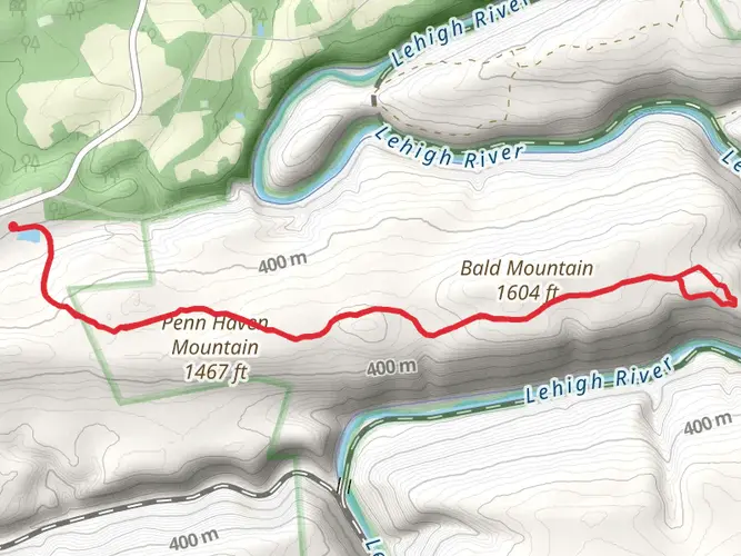
The Lehigh Gorge Trail runs beside the Lehigh River through a dramatic river gorge and passes through Lehigh Gorge State Park on a historic canal-and-railroad corridor. Notable features in and around the route include canal remnants, Penn Haven Junction, and Luke's Falls, which is located just south of the Rockport Access Area.
Can you do the Lehigh Gorge Trail as a one-way hike from White Haven to Jim Thorpe?
Yes. The Lehigh Gorge Trail is well known as a one-way route from White Haven south toward Jim Thorpe, and the state park describes it as more than 20 miles of the D&L Trail through the gorge. White Haven is the northern access area, Glen Onoko is the southern access near Jim Thorpe, and shuttle-based one-way trips are common for both hikers and cyclists.
Comments and Reviews
User comments, reviews and discussions about the Lehigh Gorge Trail, Pennsylvania.
4.0
average rating out of 5
7 rating(s)