Download
3D Flyover
Add to list
More
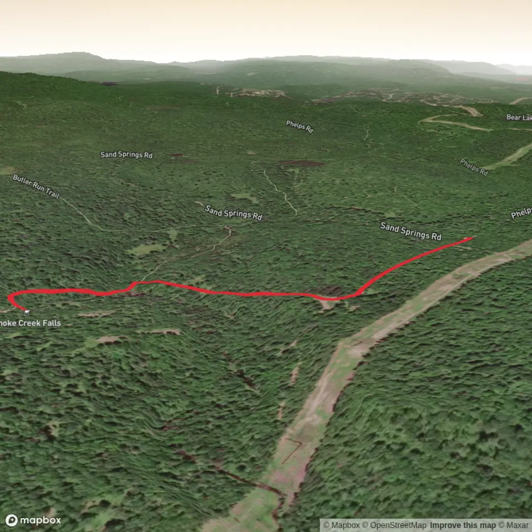
2.4 km
~30 min
19 m
Out and Back
“A waterfall’s name echoes across maps—share a trailhead pin, and the story sharpens.”
I’m missing a few key pieces of information to make this accurate (especially the start location and what “near” refers to). “Choke Creek Falls” is a name used in more than one place, and without coordinates or a nearby town/park, I can’t reliably convert the lon/lat to a real-world landmark or give correct access, wildlife, and historical context.
Send one of the following and I’ll write the full hike description exactly in the style you requested:
1) A lon/lat pair for the trailhead (preferred), e.g. -123.1234, 49.1234
2) A Google Maps link to the trailhead/parking area
3) The nearest town + state/province + country, and (if you know it) the park/forest name
Also, if you can, confirm:
- Hike type: out-and-back, loop, or point-to-point
- Any constraints: seasonal access, road type (paved/gravel), fees/permits, pet rules
Once you provide the trailhead location, I’ll include: - Turn-by-turn expectations with approx. distances in km/miles and elevation in m/ft - What to watch for (trail surface, wet sections, crossings, viewpoints, hazards) - Notable landmarks and likely flora/fauna - Historical/cultural context of the immediate region - How to get there by car and public transport - Navigation guidance referencing HiiKER only - The nearest known address or significant landmark to the coordinates you provide

Surfaces
Unknown
Ground
Comments and Reviews
User comments, reviews and discussions about the Choke Creek Falls, Pennsylvania.
average rating out of 5
0 rating(s)