Download
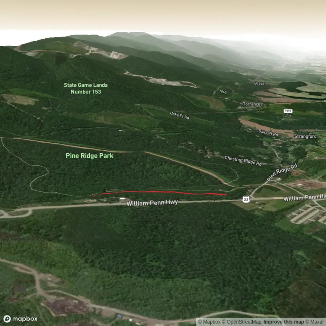
3D Flyover
Add to list
More
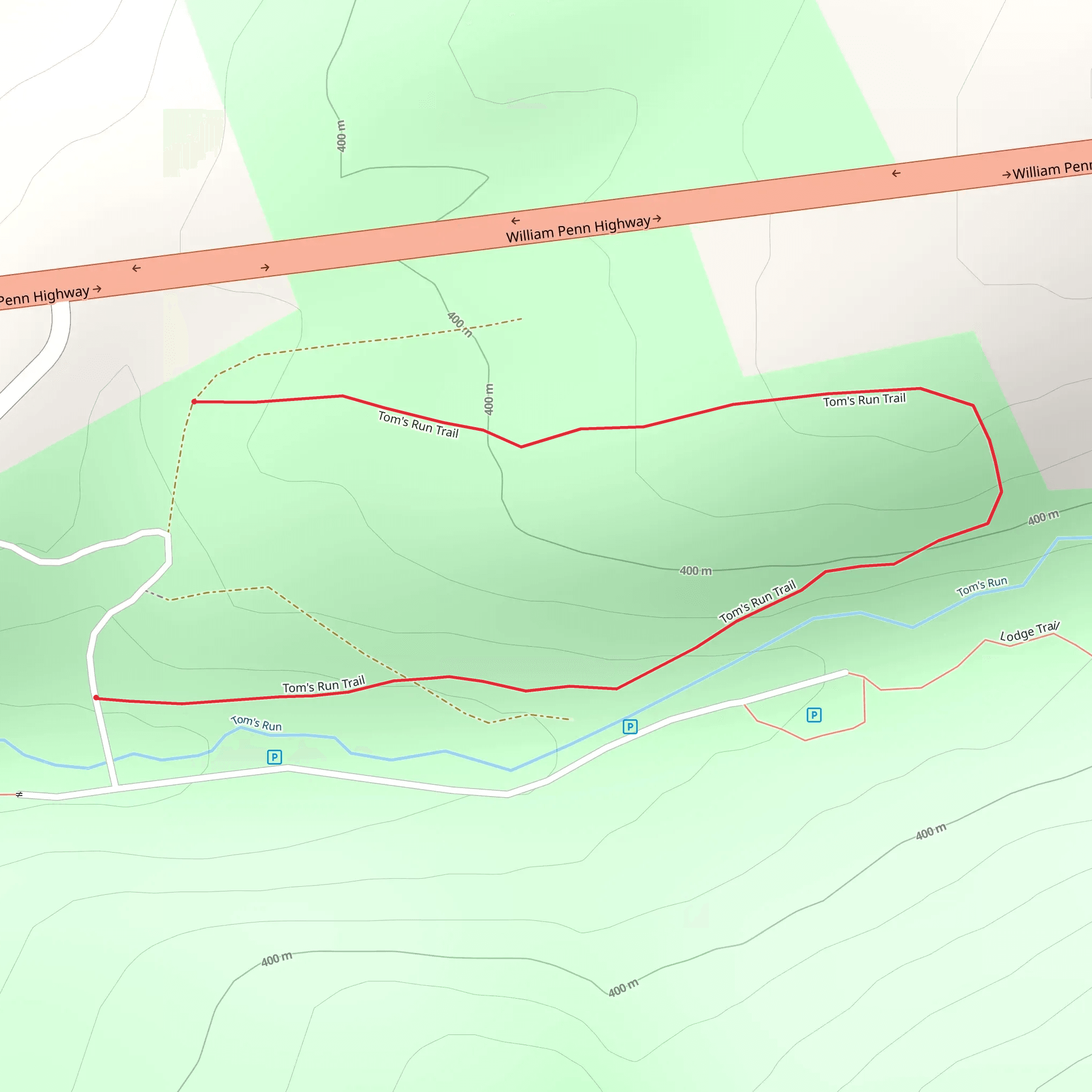
1.6 km
~22 min
31 m
Loop
“Share a trailhead pin or park name, and I’ll paint your hike into a vivid, grounded snapshot.”
I’m missing the key location details needed to make this accurate and to convert the start point to a nearby address/landmark.
Send one of the following and I’ll write the full hike description exactly in the style you requested:
1) The GPS coordinates (lat, lon) for the trailhead (or a GPX/KML link), or
2) The park/forest name + nearest town/state, or
3) A static map image that shows the trailhead and route.
Also, if you know them, tell me:
- Hike type (loop, out-and-back, point-to-point)
- Any access notes (parking lot name, gate, day-use fee, seasonal closure)
Once I have the trailhead location, I’ll: - Convert the coordinates to the nearest known address or significant landmark - Give car + public transport options to the start - Describe what to expect over ~2 km / 1.2 mi with ~0 m / 0 ft gain (easy, mostly flat) - Call out landmarks, habitat, likely wildlife, hazards, and any historical context for the area - Reference navigation using HiiKER only
Comments and Reviews
User comments, reviews and discussions about the Toms Run Trail, Pennsylvania.
average rating out of 5
0 rating(s)
