Download
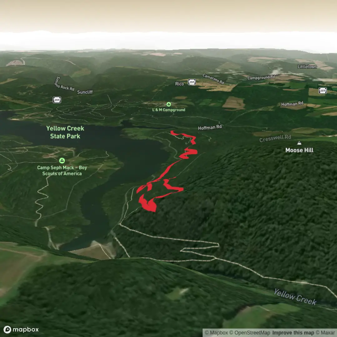
3D Flyover
Add to list
More
5.6 km
~1 hrs 23 min
163 m
Loop
“Share a trailhead pin or nearby town, and I’ll paint a vivid, safety-minded loop guide.”
I’m missing a few key specifics to make this accurate (there are multiple “Damsite Loop Trail” routes in different places, and “near” / “hike type” are blank). Share either of the following and I’ll turn it into a complete, ready-to-plan hike description with distances/elevation in km + miles and m + ft, plus landmarks, wildlife, hazards, and a solid “how to get there” section:
1) Trailhead coordinates (lat, lon) (or a HiiKER link), or
2) The park/region + nearest town/state (e.g., “near X, Colorado”), or
3) A map screenshot that shows the loop and start point.
Also tell me: - Loop direction preference (clockwise/counterclockwise) or “either” - Any constraints: kid-friendly, dog-friendly, avoid steep sections, want viewpoints, etc.
Once I have the trailhead location, I’ll: - Convert the coordinates to the nearest known address or major landmark (e.g., “Parking at ___ Trailhead near ___ Dam”) - Give public transport + driving options to the start - Describe the route in segments with approximate distances and elevation changes - Call out notable features (dam infrastructure, overlooks, creek crossings, forest type, wildflowers) - Cover seasonal conditions and what to watch for (mud, ice, heat exposure, ticks, snakes, bears—depending on region) - Include historical context relevant to the dam/area (construction era, water supply/flood control, local land use/indigenous history where appropriate)
Send the trailhead lat/lon (or the nearest town/park), and I’ll write the full description in the format you requested.
Surfaces
Dirt
Unknown
Comments and Reviews
User comments, reviews and discussions about the Damsite Loop Trail, Pennsylvania.
average rating out of 5
0 rating(s)
