Download
3D Flyover
Add to list
More
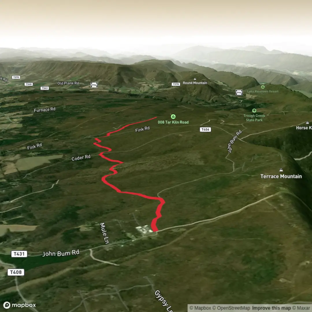
6.2 km
~1 hrs 21 min
64 m
Point-to-Point
“A trail’s story can’t bloom until its starting point is pinned—share a map or coordinates.”
I can write this exactly in the format you want, but I’m missing the key piece that determines everything else: where the trailhead is.
Right now the hike details say “Hike head: near” with no location, and there are many trails called “Over There Trail” in different places. Without at least a latitude/longitude, a town/park name, or a map, I can’t: - convert coordinates to the nearest known address/landmark, - give accurate “how to get there” directions (car + public transport), - describe the correct terrain, landmarks, wildlife, hazards, or historical context.
Send one of the following and I’ll produce the full hike description immediately:
1) Trailhead coordinates (lat, lon), or
2) A Google Maps link, or
3) The country/state + nearest town/park, or
4) A static map image of the route.
Also, if you know them, tell me: - Hike type (loop / out-and-back / point-to-point) - Any must-hit waypoint (lookout, lake, monument), if applicable
Once I have the location, I’ll include: - distances in km + miles and elevation gain in m + ft (6 km / ~3.7 mi; 100 m / ~328 ft), - what to expect by section with at least one mid-route sub-heading, - key nature/wildlife notes and what to watch for, - regional historical context relevant to that exact area, - and access logistics using HiiKER for navigation references only.

Surfaces
Dirt
Gravel
Comments and Reviews
User comments, reviews and discussions about the Over There Trail, Pennsylvania.
average rating out of 5
0 rating(s)