Download
Preview
Add to list
More
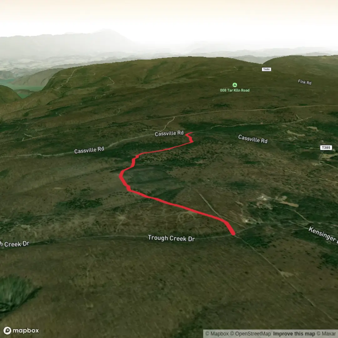
5.6 km
~1 hrs 11 min
38 m
Out and Back
“Share the trailhead details, and I’ll paint a gentle, grounded Old Elias journey—no guesswork.”
I’m missing a few key pieces of information needed to describe this specific “Old Elias Trail” accurately (there are multiple trails with similar names, and your “Hike head: near” line is incomplete). If you share the start point (a lon/lat pin or a trailhead link), I’ll convert it to the nearest known address/landmark and build the full 6 km (3.7 mi), easy, ~0 m (~0 ft) gain plan around it.
Send any one of the following and I’ll take it from there:
- Trailhead coordinates (preferred): lat, lon
- A HiiKER link to the route
- Nearest town/park/state/province and any known feature name (e.g., “near ___ campground / ___ road / ___ lake”)
- If you have it: loop/out-and-back, and whether it’s coastal/forest/river/urban greenway
Once I have the location, I’ll include: - Driving + public transport approach to the trailhead (based on the nearest real-world access point) - Turn-by-turn expectations with distance markers in km/mi - Likely terrain and surface (boardwalk, gravel, sand, dirt, etc.) and what to watch for - Notable landmarks, ecology, and common wildlife for that exact region - Any relevant local history/land-use context - Navigation notes using HiiKER only

Surfaces
Ground
Unknown
Gravel
Comments and Reviews
User comments, reviews and discussions about the Old Elias Trail, Pennsylvania.
average rating out of 5
0 rating(s)