Download
3D Flyover
Add to list
More
7.5 km
~2 hrs 8 min
386 m
Out and Back
“A brisk, rocky climb to Stony Mountain’s breezy ledges, where the Susquehanna Valley unfurls below.”
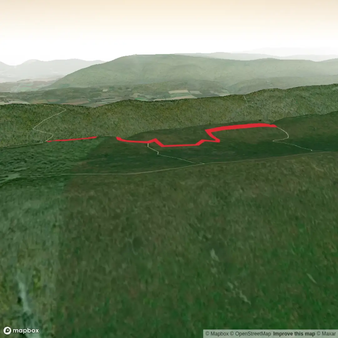
This medium-difficulty out-and-back (or short lollipop, if you add a small loop on top) climbs quickly from the Blue Mountain ridge’s south side to Stony Mountain’s high ground, where the forest opens into long, airy looks over the Susquehanna River valley and the Harrisburg area. At ~7 km / ~4.3 mi with ~400 m / ~1,310 ft of gain, it’s a compact hike that feels “bigger” than the mileage suggests because most of the elevation comes in a steady, sustained push.
Getting to the start (car + public transport)
Most common access: the Victoria Trail / PA Route 325 (Clarks Valley Road) parking area in State Game Lands 211 (Stony Valley), northeast of Dauphin, Pennsylvania. This is the standard jumping-off point for reaching the Appalachian Trail on Stony Mountain. (raysnotebook.info)
- By car: From the Harrisburg area, drive to PA-325 (Clarks Valley Road) and use the signed Victoria Trail / AT parking pull-off in State Game Lands 211. Parking is gravel and can fill on fair-weather weekends; arrive early if you want a quieter start. (raysnotebook.info)
- By public transport: There isn’t practical bus/train service to this specific trailhead—plan on a car, rideshare, or a drop-off. The Appalachian Trail Conservancy notes that transportation and parking logistics vary widely by region and are often car-dependent outside a few corridor towns. (appalachiantrail.org)
If you’re building the route in HiiKER, confirm you’ve selected the PA-325 / Victoria Trail access point (not one of the other Stony Valley pull-offs), since several nearby lots can look similar on a map.
What the hike is like (surface, grade, and pacing)
From the parking area, you’ll pick up the connector (often signed as Victoria Trail) to reach the Appalachian Trail. Expect a rocky, ridge-and-valley feel typical of this part of Pennsylvania: firm dirt interrupted by embedded stone, loose rock, and occasional ankle-twisting rubble. Trekking poles help on the descent, where the same rocks you barely notice going up can become slick or unstable.
A good way to pace the day: - 0.0–1.5 km (0.0–0.9 mi): warm-up and transition from trailhead to the main climb; grades begin to bite. - 1.5–3.5 km (0.9–2.2 mi): the main ascent—this is where most of the ~400 m / ~1,310 ft gain stacks up. Take short breaks before you feel you need them; it keeps the climb efficient. - 3.5 km (2.2 mi) to turnaround: ridge walking and viewpoint hunting—short ups/downs, more exposure to wind, and the best scenery.
Landmarks and scenery you should not miss
Ridge viewpoints: Stony Mountain’s crest has multiple openings and ledgy edges that give broad views toward the Susquehanna corridor and surrounding ridges. These are the spots to slow down, hydrate, and layer up/down depending on wind.
Fire-tower history nearby: The broader Stony Mountain/Stony Valley area is associated with historic fire-detection infrastructure, including the Stony Mountain fire lookout (often discussed as a notable local landmark). Even if your exact 7 km route doesn’t tag the tower itself, you’re hiking in the same landscape that was monitored for wildfire risk and managed for timber and watershed protection. (willhiteweb.com)

Surfaces
Unknown
Ground
Comments and Reviews
User comments, reviews and discussions about the Stony Mountain via Appalachian Trail, Pennsylvania.
average rating out of 5
0 rating(s)