
Download
3D Flyover
Add to list
More
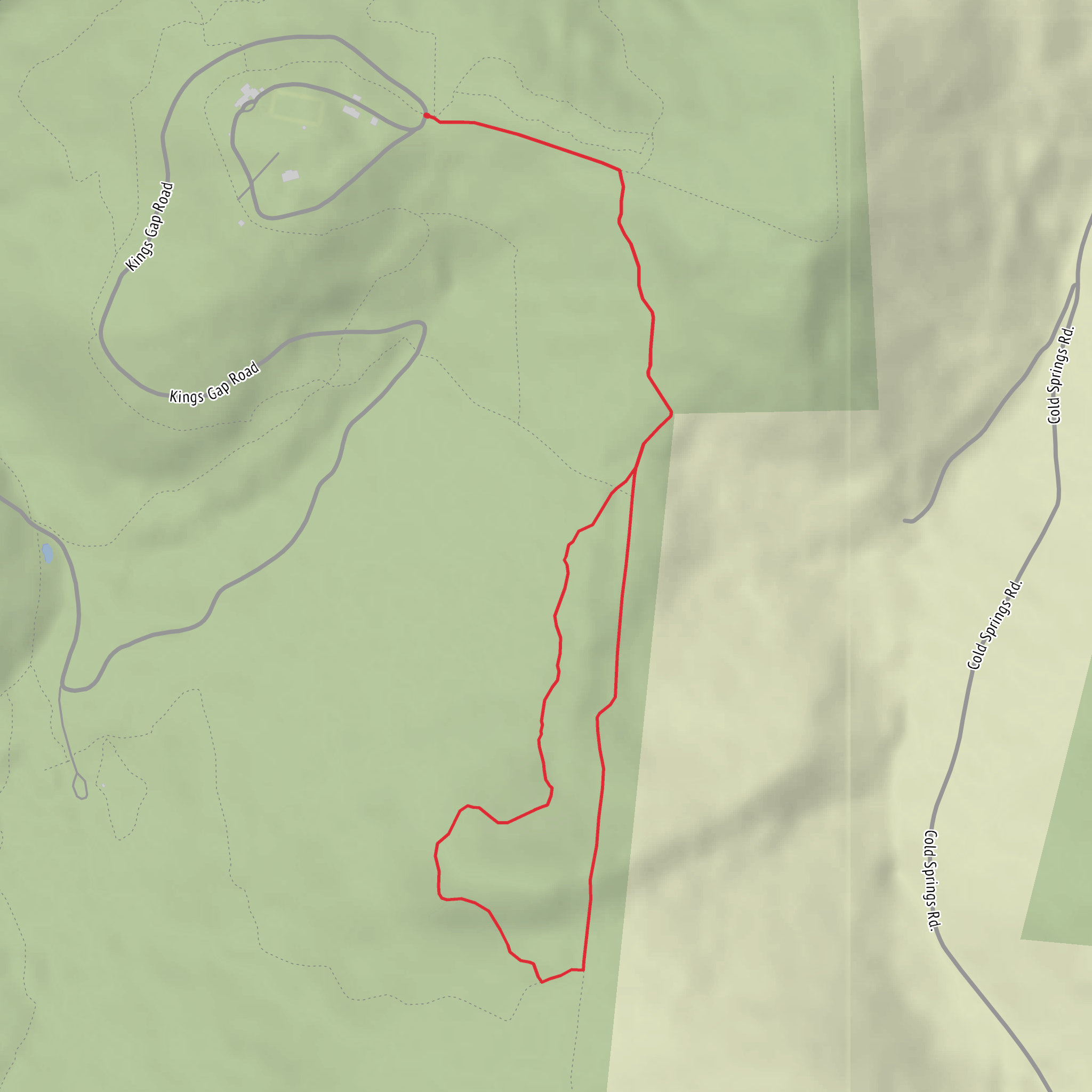
4.0 km
~57 min
92 m
Loop
“Send a trailhead pin or map snapshot, and I’ll paint your loop into a vivid, grounded adventure.”
I’m missing a few key pieces needed to make this accurate and useful (especially the start location). Please send one of the following so I can anchor the route, convert coordinates to a nearby landmark/address, and give correct access + local context:
- A HiiKER link to the route, or
- The trailhead coordinates (lat/long), or
- The park/forest name + nearest town/city/state/province, or
- A map screenshot that shows the loop and where you start.
Also, two quick confirmations (even rough is fine): - “Hike head: near …” — what is it near? (e.g., “near Maple Hollow Rd & __”, “near __ Visitor Center”, etc.) - “Hike type:” — is it a loop starting/ending at the same trailhead (sounds like it), and is it hiking-only or shared with bikes/horses?
Once you send that, I’ll write a full hike description for a ~4 km / 2.5 mi loop with ~100 m / 330 ft gain, including: - turn-by-turn expectations with approximate distances/elevation in km + miles - what to watch for (trail surface, steep bits, muddy sections, exposure, seasonal hazards) - notable viewpoints/landmarks and likely flora/fauna - any historical significance tied to the specific area - how to reach the trailhead by car + public transport - navigation guidance referencing HiiKER only
Comments and Reviews
User comments, reviews and discussions about the Mapple Hollow Trail, Scenic Vista Trail and Boundary Trail Loop, Pennsylvania.
4.0
average rating out of 5
1 rating(s)



