
Download
3D Flyover
Add to list
More
2.3 km
~27 min
0 m
Loop
“A gentle heritage loop of firm paths and quiet junctions, inviting unhurried pauses at interpretive stops.”
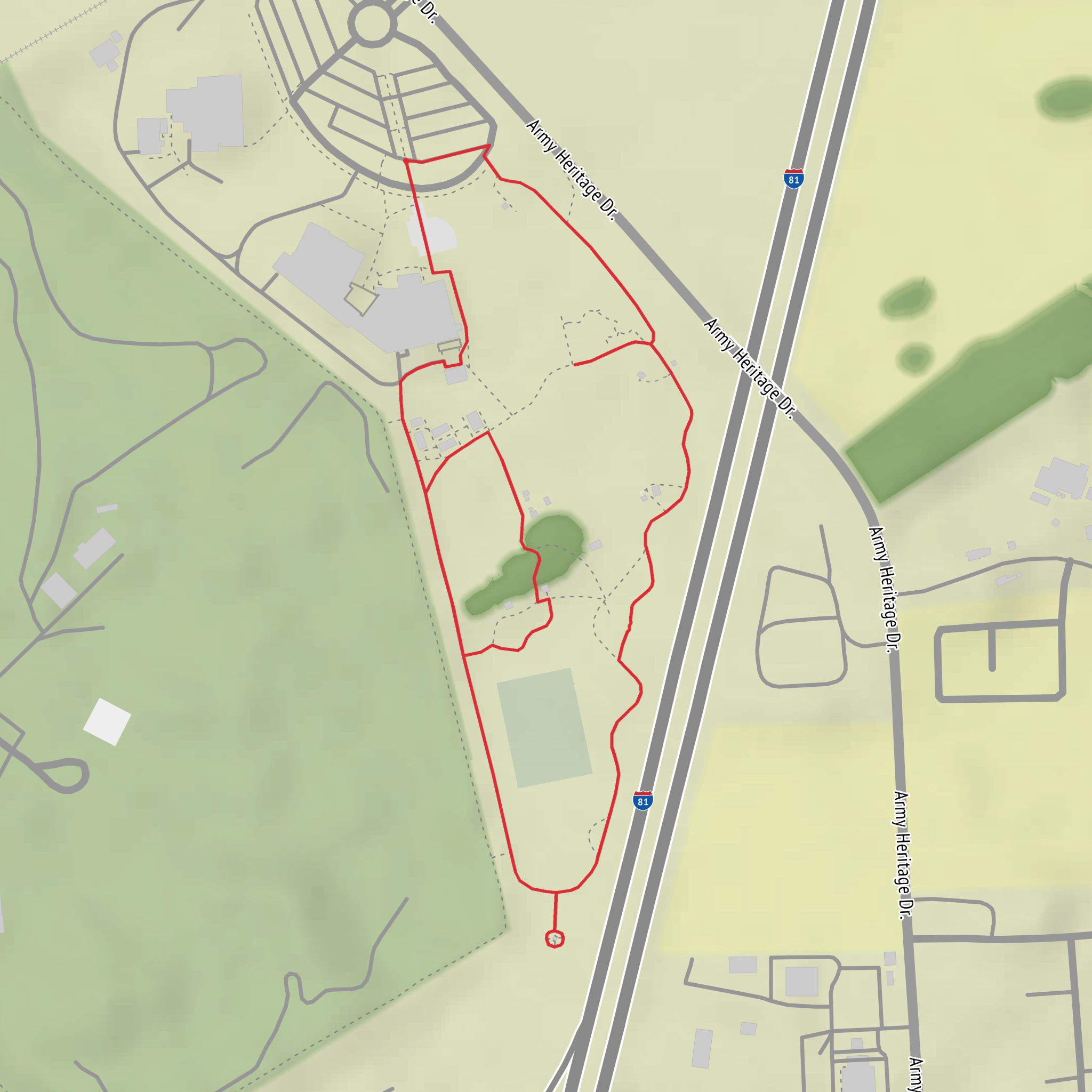
A short, mostly level walk of about 2 km (1.2 mi) with ~0 m (0 ft) of climbing, this is the kind of outing that works well for families, casual walkers, mobility-friendly strolls, and anyone wanting an easy loop or out-and-back with plenty of time to stop at interpretive points. Expect firm paths, frequent junctions, and lots of “slow down and look around” moments rather than any physical challenge.
Before I can tailor this properly (and convert coordinates to a nearby address/landmark), I need one missing piece: where is the Army Heritage Trail located (city/state/country), or the start point coordinates (lat, lon), or a map screenshot. “Hike head: near” looks incomplete, and there are multiple trails with similar names.
If you send any one of the following, I’ll produce the full hike description exactly in the style you requested:
- Start coordinates (lat, lon), plus (optional) end/parking coordinates
- A Google Maps link to the trailhead
- The nearest town/park/site name (e.g., “near Carlisle, PA” or “near the Army Heritage Center”)
What to expect on an easy, flat 2 km (1.2 mi) heritage trail
Even without the location, here’s what typically matters for planning a short heritage-focused walk like this, and what I’ll lock down precisely once you share the trailhead:
- Surface & accessibility: Usually a mix of compacted gravel, paved multi-use path, or well-packed dirt. After rain, low-lying sections can hold shallow puddles even when the route is “flat.”
- Junction density: Heritage trails often have spurs to exhibits/markers. Plan to use HiiKER to confirm you’re staying on the intended 2 km (1.2 mi) route rather than accidentally extending the walk.
- Time planning: Most hikers will take 30–60 minutes moving time for 2 km (1.2 mi), but heritage stops can easily double that if there are plaques, displays, or viewpoints.
- Footwear: Comfortable walking shoes are usually enough; choose something with decent tread if the path is crushed stone or can be sandy.
- Weather exposure: Many heritage corridors are open and sunny (former parade grounds, training areas, or open parkland). Bring water even for a short walk in warm weather.
Common landmarks & historical context (what I’ll customize once we have the exact site)
“Army Heritage” trails are often designed around:
- Interpretive signage explaining local military history (training grounds, logistics routes, memorials, or museum-adjacent exhibits)
- Memorial features (plaques, unit markers, commemorative plantings)
- Preserved landscape elements like old road alignments, earthworks, or repurposed infrastructure
Once you provide the location, I’ll describe the specific landmarks in order along the route with approximate distances (e.g., “at ~0.4 km / 0.25 mi…”) and any notable historical events tied to the area.
Nature & wildlife you may encounter (varies by region)
On easy, low-elevation-gain heritage walks, wildlife sightings are usually “edge habitat” species:
- Birds: songbirds in shrubs/trees; waterfowl if there are ponds or drainage swales
- Mammals: squirrels, rabbits, deer in quieter sections
- Insects/ticks: the most common “watch-out,” especially along grassy edges—long socks and a quick tick check afterward are smart in many parts of the U.S.
If you tell me the state/region, I’ll call out the most likely seasonal hazards (ticks, poison ivy/oak, heat exposure, mosquitoes, icy patches) and what to look for.
Getting to the start (car + public transport)
As soon as I know the trailhead location, I’ll give:
- The nearest known address or significant landmark to aim for (converted from coordinates if you provide them)
- Parking expectations (lot vs. roadside, typical capacity, any fees)
- The most practical public transport approach (nearest bus/rail stop and the walking connection), where available
Send the trailhead location (city/state) or coordinates, and I’ll write the complete, location-specific hike description with distances in km and miles, elevation in metres and feet, key landmarks, nature/wildlife, hazards, and the local historical significance—without mentioning any map/image and without adding labeled sections like “Trail Description.”
Surfaces
Gravel
Unknown
Asphalt
Concrete
Comments and Reviews
User comments, reviews and discussions about the Army Heritage Trail, Pennsylvania.
average rating out of 5
0 rating(s)
