Download
3D Flyover
Add to list
More
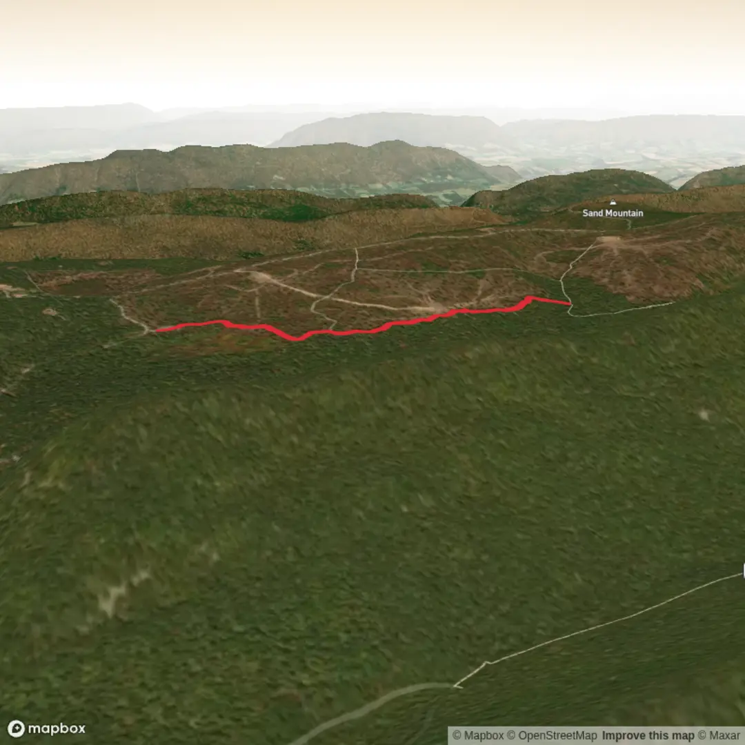
3.1 km
~37 min
12 m
Out and Back
“Share a trailhead pin, and I’ll paint an easy, landmark-rich hike plan with HiiKER guidance.”
I’m missing the key piece that lets me make this genuinely useful: the start location. Right now the hike head is listed as “near” with nothing after it, and there are no coordinates to convert into a nearby address/landmark.
Send one of the following and I’ll write the full 3 km (≈1.9 mi), ~0 m gain easy hike description with landmarks, nature/wildlife, historical context, what to watch for, and how to get there by car or public transport (and I’ll reference HiiKER for navigation):
1) GPS coordinates for the trailhead (lat, lon), or
2) A Google Maps pin/link, or
3) The nearest town/park/trail system + state/country, or
4) A static map image of the route.
Also, if you know any of these, paste them (optional but helpful): - Trail type: loop / out-and-back / point-to-point - Surface: paved / gravel / dirt / boardwalk - Any notable features you want included (river, lake, ruins, viewpoints, etc.)
Once I have the trailhead location, I’ll convert it to the nearest known address or significant landmark and build the plan around that.

Surfaces
Ground
Gravel
Unknown
Comments and Reviews
User comments, reviews and discussions about the Link Trail, Pennsylvania.
average rating out of 5
0 rating(s)