Download
3D Flyover
Add to list
More
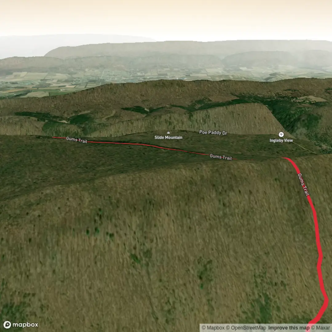
3.4 km
~1 hrs 1 min
204 m
Out and Back
“A vivid, safety-minded invitation—share the missing trailhead details so this “Gums Trail” story fits your route.”
I’m missing a few key details needed to write an accurate, safety-focused description of Gums Trail—there are multiple “Gums Trail” matches in different regions, and your start location line is incomplete (“Hike head: near …”). If I guess, I could send you to the wrong trailhead.
Send one of the following and I’ll produce the full hike description exactly in the style you requested (with distances/elevation in km+mi and m+ft, landmarks, wildlife, hazards, history, and how to get there by car/public transport, plus converting coordinates to the nearest known address/landmark):
1) Trailhead coordinates (lat, lon) (or a HiiKER link), and if possible the end point/route type (loop/out-and-back/point-to-point), or
2) The nearest town/park/state/country where this Gums Trail is located.
Also confirm these two fields (even if “unknown”):
- Hike type: loop / out-and-back / point-to-point / unknown
- Hike head near: paste the place name or coordinates
Once you send that, I’ll: - Identify the nearest known address or significant landmark to the trailhead (from the coordinates/place you provide), - Describe the route in segments with approximate distance + elevation gain per segment, - Note terrain, footing, steep sections, and what makes it “Difficult” despite ~3 km (~1.9 mi) and ~200 m (~656 ft), - Include seasonal considerations, water availability, and what to watch for (exposure, slippery rock, snakes/ticks, etc. depending on region), - Reference navigation using HiiKER only.

Surfaces
Ground
Unknown
Comments and Reviews
User comments, reviews and discussions about the Gums Trail, Pennsylvania.
average rating out of 5
0 rating(s)