
Download
3D Flyover
Add to list
More
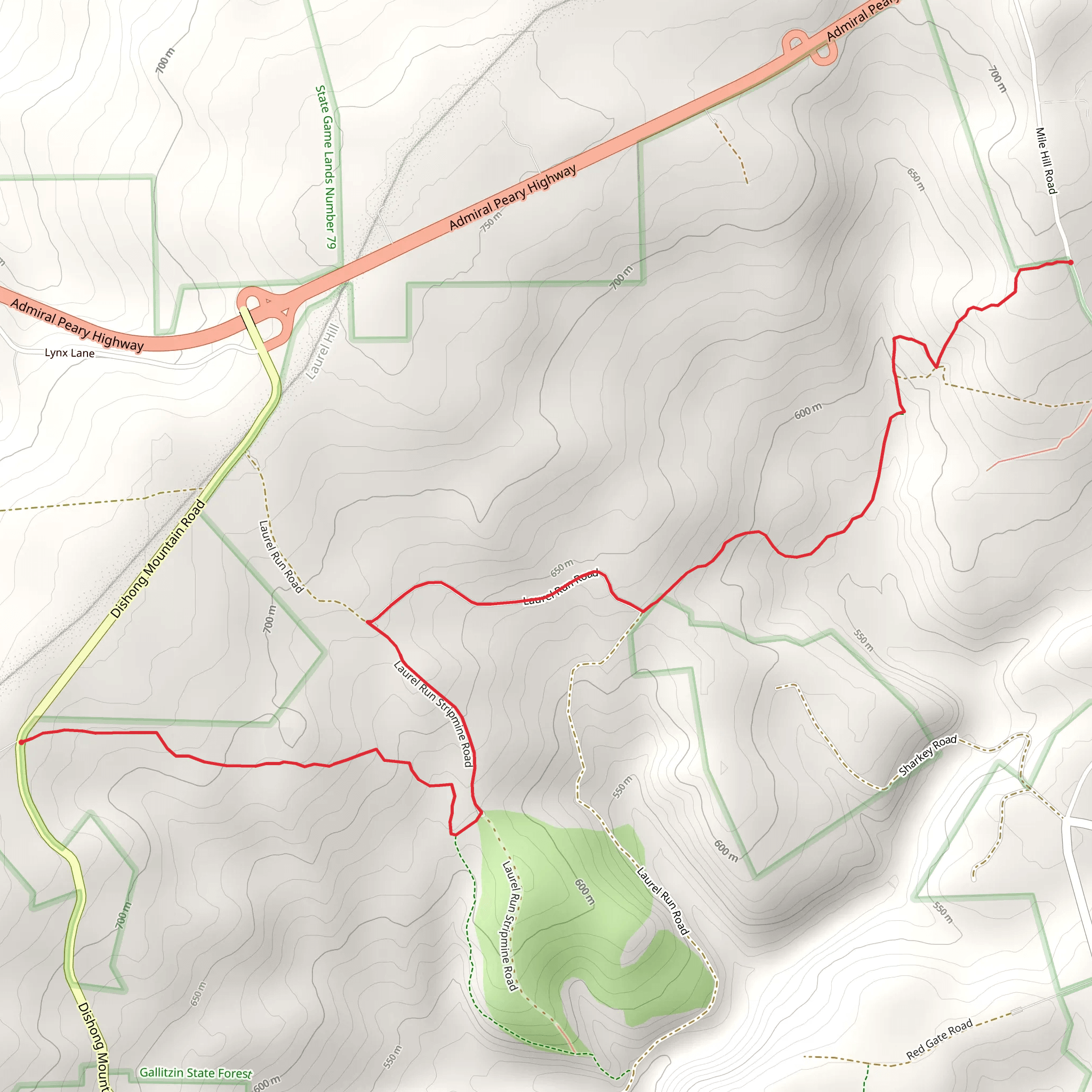
6.3 km
~1 hrs 38 min
236 m
Point to Point
“Chasing the right Chickaree Trail, we’ll pin the trailhead first—then craft a vivid, safe hike story.”
I’m missing a few key pieces of information to describe the correct Chickaree Trail (there are multiple trails with that name in different regions), and your “Hike head: near” line looks incomplete. If you share the start location (a pin, coordinates, park name, or nearest town), I’ll convert it to the nearest known address/landmark and tailor the route, access, landmarks, wildlife, and hazards to that exact place.
Send one of the following and I can write the full hike description immediately:
- A latitude/longitude for the trailhead (or GPX/KML link/text), or
- The park/forest name + state/province, or
- The nearest town + country, plus anything you know like “starts at X parking lot / campground”.
Also, if you know them, please confirm:
- Hike type: loop, out-and-back, or point-to-point
- Any season you’re planning (helps with snow/mud/bugs and wildlife notes)
Once I have the location, I’ll include: - A step-by-step route description for ~5 km / 3.1 mi with ~200 m / 656 ft gain (or adjust if the mapped trail differs) - Key landmarks, terrain, and what to watch for - Local ecology and likely wildlife - Any historical/cultural context specific to the area - Getting to the trailhead by car and public transport - Navigation guidance using HiiKER only
Surfaces
Unknown
Gravel
Asphalt
Comments and Reviews
User comments, reviews and discussions about the Chickaree Trail, Pennsylvania.
average rating out of 5
0 rating(s)
