Download
3D Flyover
Add to list
More
11.7 km
~2 hrs 20 min
0 m
Out and Back
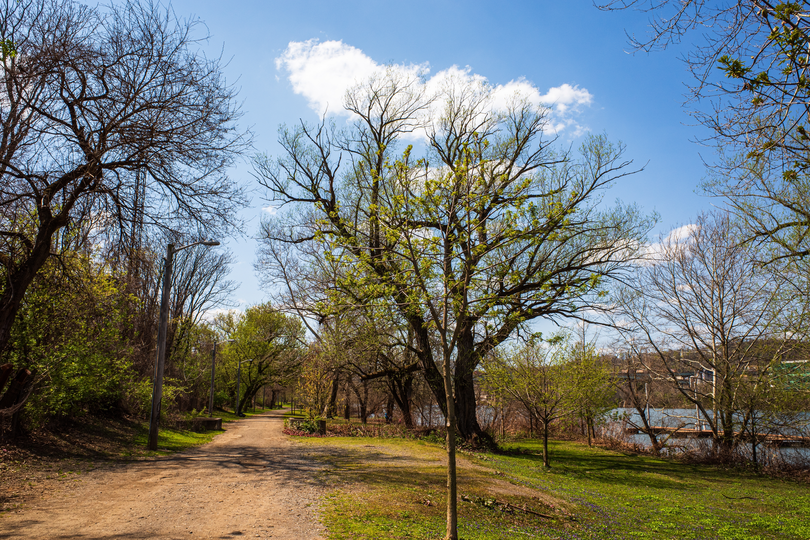
“A breezy, mostly level shoreline wander—more about sun, wind, and footing than climbs.”
A roughly 12 km (7.5 mi) easy walk with essentially flat elevation change (about 0 m / 0 ft) usually means you’re looking at a shoreline path, multi-use greenway, or lakeside/riverfront trail where the main “effort” is time on feet, sun/wind exposure, and surface conditions rather than climbing. With that profile, most hikers will finish in about 2.5–4 hours depending on stops, photo breaks, and whether any sections are on sand, gravel, or pavement.
Before I can tailor this to the right “N Shore Trail” (there are several with that exact/near-exact name), I need the missing start location. Your “Hike head: near” line is blank, and there are no lon/lat coordinates to convert to a nearby address/landmark.
Send one of the following and I’ll turn it into a complete, location-specific hike description (route character, landmarks, wildlife, hazards, history, and exact access/parking/transit):
- A pin / coordinates for the trailhead (lat, lon), or
- The nearest town/city + state/province/country, or
- A HiiKER link to the route, or
- The name of the park/lake/shoreline it follows (e.g., “north shore of ___ Lake”).
If you share coordinates, I’ll convert them to the nearest known address or significant landmark as requested.

Comments and Reviews
User comments, reviews and discussions about the N Shore Trail, Pennsylvania.
average rating out of 5
0 rating(s)