Download
3D Flyover
Add to list
More
1230.4 km
~46 days
16279 m
Multi-Day
“Embark on the Oregon Desert Trail, a navigational challenge through diverse terrains and extreme climates, steeped in natural wonders and history.”
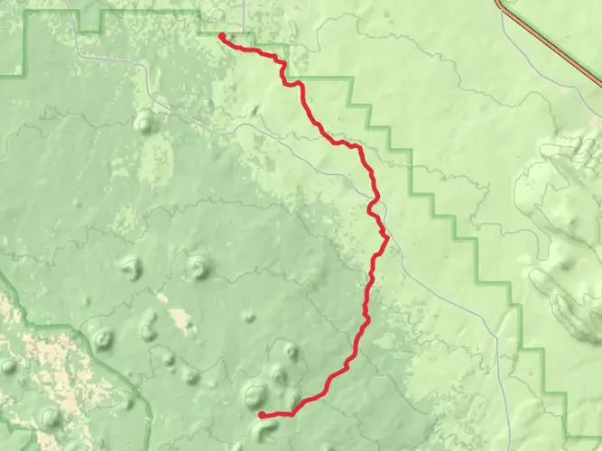
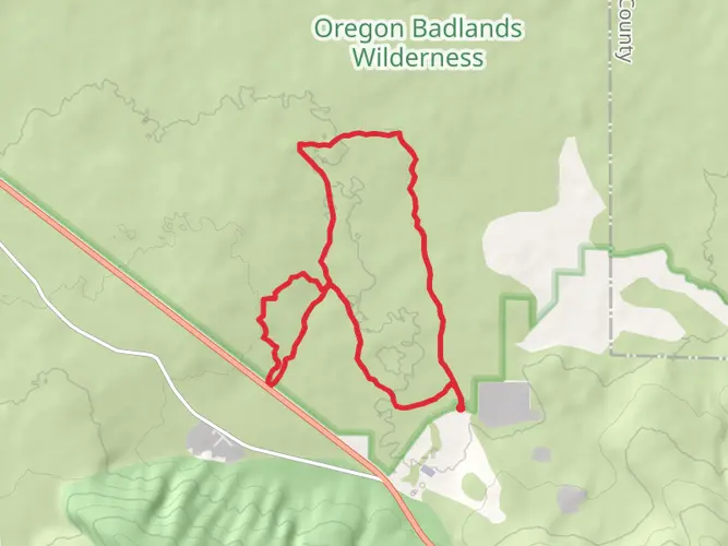
Spanning approximately 1230 kilometers (764 miles) and with an elevation gain of around 16200 meters (53150 feet), the Oregon Desert Trail is a challenging and rewarding point-to-point trek that traverses the high desert region of eastern Oregon. Starting near Deschutes County, the trailhead can be found close to the Oregon Badlands Wilderness, which is accessible by car from Bend, Oregon. For those relying on public transportation, regional services can get you to Bend, from where you may need to arrange a shuttle or taxi service to reach the trailhead.
Navigating the Trail
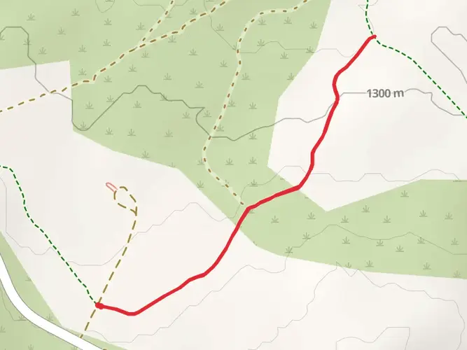
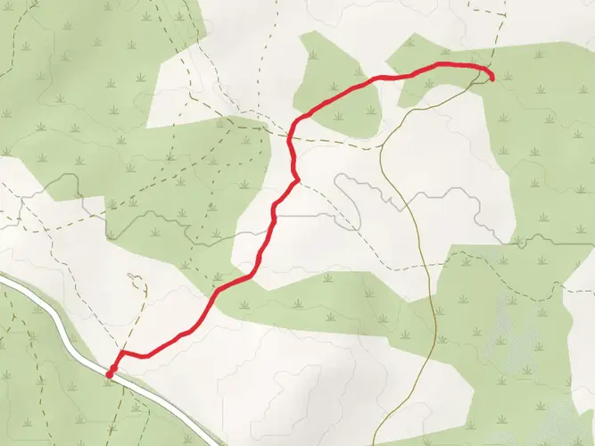
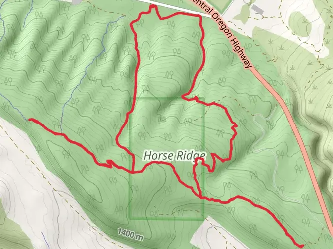
The Oregon Desert Trail is not a single-track path but rather a series of trail segments, cross-country travel, and two-track roads. Hikers should be adept at navigation, as the route can be complex and challenging to follow. HiiKER is an invaluable tool for planning and staying on course, offering detailed maps and waypoints that are essential for a successful journey.
Terrain and Climate
The trail offers a diverse landscape, including rugged lava fields, sagebrush steppe, and juniper woodlands. The terrain can be tough, with loose volcanic rock in some sections and soft sand in others. The climate is typically arid, with hot summers and cold winters. Hikers should be prepared for extreme temperature fluctuations, which can occur not only seasonally but also diurnally.
Water Sources and Resupply Points
Water is scarce along the Oregon Desert Trail, and hikers must plan carefully. Water caches are sometimes used, but should not be relied upon. Instead, hikers should carry a detailed water report and have the capacity to carry several days' worth of water at a time. Resupply points are few and far between, with some stretches of the trail being over 160 kilometers (100 miles) from the nearest town. Towns like Lakeview, Burns, and Ontario are key resupply locations, and hikers should plan their food and water logistics meticulously.
Landmarks and Natural Features
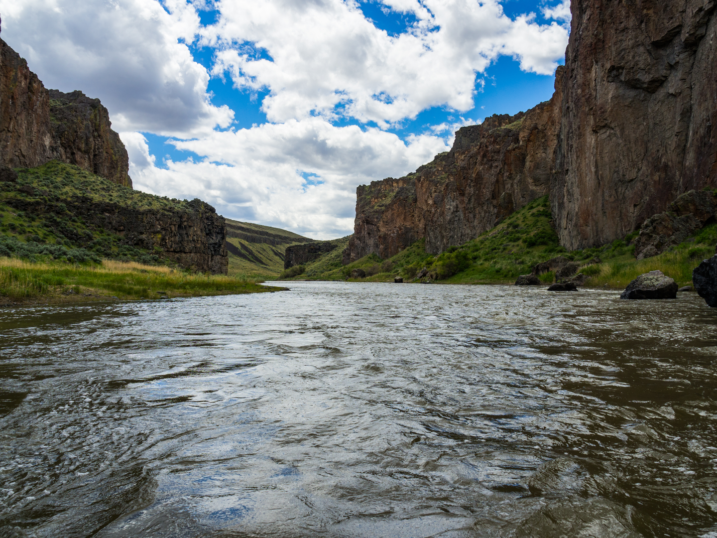
The trail passes through several key landmarks and areas of interest. The Hart Mountain National Antelope Refuge is a highlight, offering the chance to see pronghorn antelope in their natural habitat. Steens Mountain is another significant feature, presenting a challenging ascent and breathtaking views from the summit. The Owyhee Canyonlands offer a remote and wild landscape, with deep canyons and stunning rock formations.
Wildlife and Flora
The high desert is home to a variety of wildlife, including mule deer, coyotes, and golden eagles. The flora is equally diverse, with sagebrush being the most dominant vegetation. Wildflowers bloom in the spring, adding color to the landscape, and the fall brings a change in the color of the grasses and shrubs.
Historical Significance
The region is rich in history, with evidence of Native American habitation dating back thousands of years. The trail also passes near the remnants of old homesteads, mines, and historic wagon routes, offering a glimpse into the pioneer era.
Access to the Trailhead
To reach the trailhead near Deschutes County, Oregon, drivers can take US Highway 20 to the town of Bend, and then follow signs to the Oregon Badlands Wilderness, which is the gateway to the trail. For those without a car, Bend is the nearest city with bus connections from major cities like Portland. From Bend, you may need to arrange a private shuttle or taxi service to reach the trailhead.
Preparation and Safety
Given the trail's length, remoteness, and difficulty, hikers should be well-prepared with the right gear, including navigation tools, sun protection, and appropriate clothing for variable conditions. It's also crucial to leave a detailed trip plan with someone reliable and to be prepared for self-rescue in case of an emergency.

Frequently asked questions
How long is the Oregon Desert Trail and how many days does the Oregon Desert Trail take?
The Oregon Desert Trail is about 1,230.43 kilometers, or roughly 764 miles, with around 16,279 meters of climbing. Most hikers treat it as a multi-week to multi-month thru-hike rather than a short backpacking trip, because the route crosses remote desert country, includes off-trail navigation, and has long water and resupply gaps.
Where does the Oregon Desert Trail start near Bend, and where does the Oregon Desert Trail end?
The western end of the Oregon Desert Trail begins near the Oregon Badlands Wilderness east of Bend, with access from trailheads off Highway 20. The eastern end is near Lake Owyhee State Park close to the Idaho border, so the full route is a true point-to-point crossing of Oregon’s high desert.
Is the Oregon Desert Trail a marked trail or is the Oregon Desert Trail hard to follow?
The Oregon Desert Trail is difficult to follow compared with a conventional signed long-distance trail. It is a stitched-together route of trail segments, two-track roads, and cross-country travel, so strong navigation skills are essential for staying on line across the Badlands, Hart Mountain, Steens Mountain, and the Owyhee Canyonlands.
What is the best time of year to hike the Oregon Desert Trail?
The Oregon Desert Trail is usually best hiked in spring or fall, when desert temperatures are more manageable and water planning is slightly less severe. Summer can bring extreme heat and very dry conditions, while higher sections around Steens Mountain can hold snow well into summer, making early-season travel more complicated.
How hard is the Oregon Desert Trail and what kind of terrain is on the Oregon Desert Trail?
The Oregon Desert Trail is rated difficult, and the challenge comes from more than distance alone. The route combines lava fields, sagebrush steppe, juniper country, sandy stretches, rough two-track, and remote cross-country sections, with about 16,279 meters of elevation gain spread across a long, exposed desert landscape.
Are dogs allowed on the Oregon Desert Trail?
Dogs can be allowed on some parts of the Oregon Desert Trail, including the Oregon Badlands Wilderness near the western end, where dogs are permitted but must be leashed in parking areas and kept under control on trail. Rules vary by land unit across the full route, so dog access is not uniform from end to end and needs to be checked section by section before a thru-hike.
Do you need permits for the Oregon Desert Trail?
Most of the Oregon Desert Trail does not require a blanket thru-hiking permit, but at least one section does have a permit requirement for backcountry camping. On Hart Mountain National Antelope Refuge, a permit is needed for backcountry camping outside established campgrounds, so permit needs depend on the exact sections and campsites used.
Is water hard to find on the Oregon Desert Trail and are there resupply points on the Oregon Desert Trail?
Water is one of the defining challenges of the Oregon Desert Trail. The route is known for long dry carries, and some hikers arrange seasonal water caches in advance; resupply is also spread out, with remote points and small communities along the way rather than frequent full-service trail towns.
Comments and Reviews
User comments, reviews and discussions about the Oregon Desert Trail, Oregon.
4.64
average rating out of 5
11 rating(s)