Download
3D Flyover
Add to list
More
19.1 km
~4 hrs 39 min
511 m
Out and Back
“The China Hat Walk offers scenic views, historical landmarks, and diverse wildlife for moderate hiking enthusiasts.”
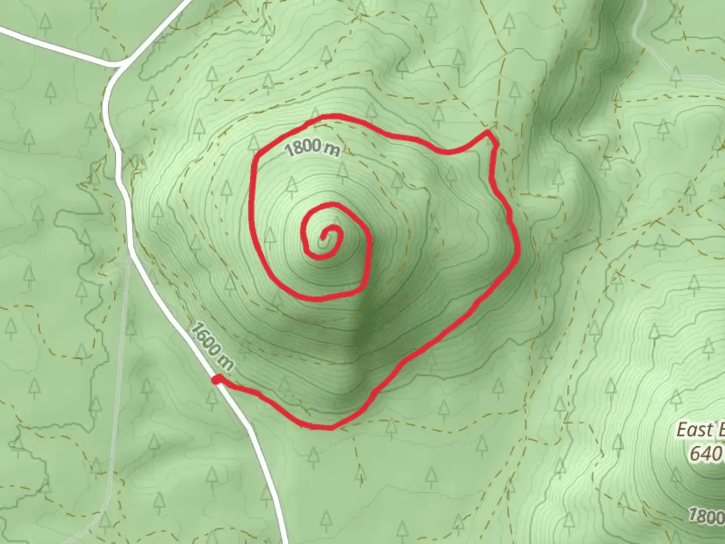
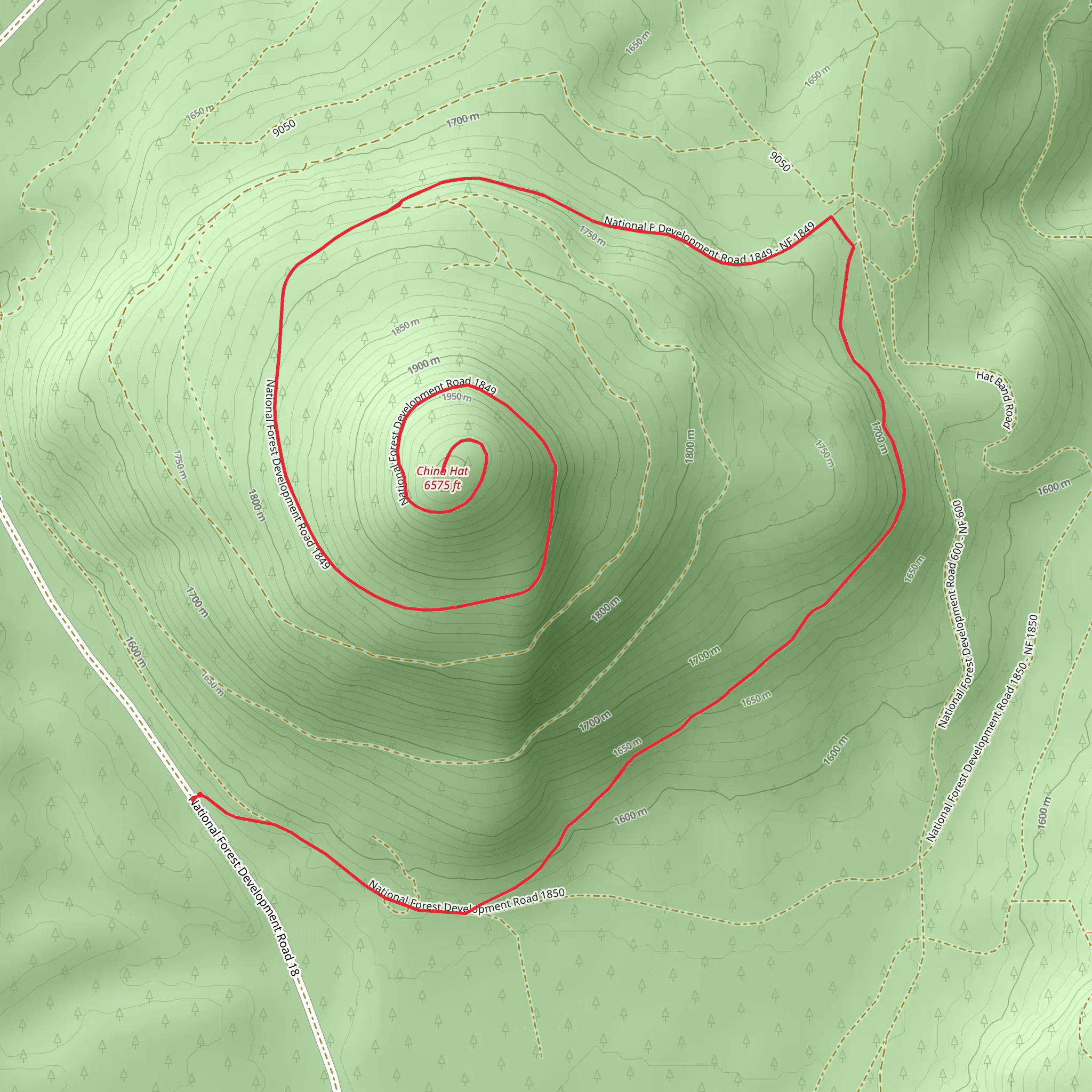
Starting near Deschutes County, Oregon, the China Hat Walk is an invigorating out-and-back trail that stretches approximately 19 kilometers (around 12 miles) with an elevation gain of about 500 meters (1,640 feet). This medium-difficulty hike offers a blend of natural beauty, historical significance, and a moderate challenge for outdoor enthusiasts.
Getting There
To reach the trailhead, you can drive or use public transportation. If you're driving, head towards Deschutes County, Oregon, and look for signs directing you to the China Hat area. The nearest significant landmark is the China Hat Road, which is easily accessible from Bend, Oregon. For those relying on public transport, buses from Bend can drop you off near China Hat Road, but be prepared for a short walk to the actual trailhead.
Trail Overview
The trail begins with a gentle ascent, allowing hikers to ease into the journey. As you progress, the terrain becomes more varied, featuring a mix of forested areas and open landscapes. The initial 3 kilometers (1.9 miles) are relatively easy, with a gradual elevation gain of about 100 meters (328 feet).
Significant Landmarks and Nature
Around the 5-kilometer (3.1-mile) mark, you'll encounter a scenic viewpoint that offers panoramic views of the surrounding Deschutes National Forest. This is a great spot to take a break and soak in the natural beauty. Keep an eye out for local wildlife, including deer, elk, and various bird species that inhabit the area.
Historical Significance
The region around China Hat has a rich history, with evidence of Native American habitation dating back thousands of years. The trail itself passes through areas that were once used by indigenous tribes for hunting and gathering. As you hike, you'll notice several rock formations and ancient lava flows, remnants of the area's volcanic past.
Mid-Trail Challenges
At approximately 10 kilometers (6.2 miles), the trail reaches its highest point, with an elevation gain of around 400 meters (1,312 feet) from the start. This section can be quite challenging due to the steeper inclines and rocky terrain. Make sure to have sturdy hiking boots and plenty of water.
Navigation
For navigation, it's highly recommended to use the HiiKER app, which provides detailed maps and real-time updates. The trail is well-marked, but having a reliable navigation tool can help you stay on track, especially in the more remote sections.
Wildlife and Flora
As you descend back towards the trailhead, you'll pass through diverse ecosystems, including pine forests and meadows filled with wildflowers during the spring and summer months. The descent offers a different perspective of the landscape, with opportunities to spot smaller wildlife like squirrels and rabbits.
Final Stretch
The last 3 kilometers (1.9 miles) of the trail are relatively easy, allowing you to cool down as you make your way back to the starting point. This section is mostly downhill, with a gentle slope that makes for a pleasant end to the hike.
Whether you're a seasoned hiker or someone looking to explore the natural beauty of Deschutes County, the China Hat Walk offers a rewarding experience filled with scenic views, historical landmarks, and diverse wildlife.
What to expect?
Activity types
Comments and Reviews
User comments, reviews and discussions about the China Hat Walk, Oregon.
4.63
average rating out of 5
8 rating(s)
