Download
3D Flyover
Add to list
More
4.9 km
~1 hrs 18 min
191 m
Loop
“Explore Oregon's splendor on the Chip Ross and Lower Dan's Loop Trail, a trek through history and nature's canopy.”
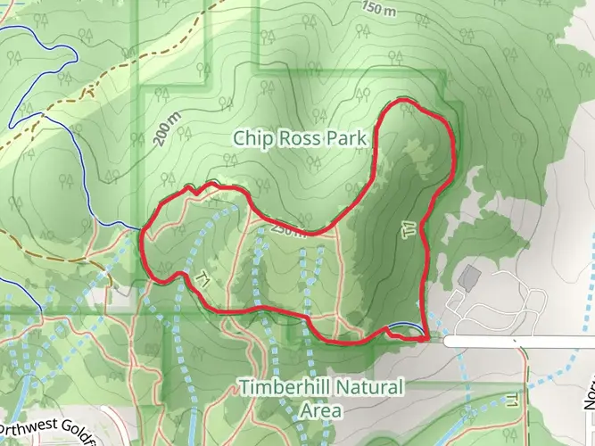
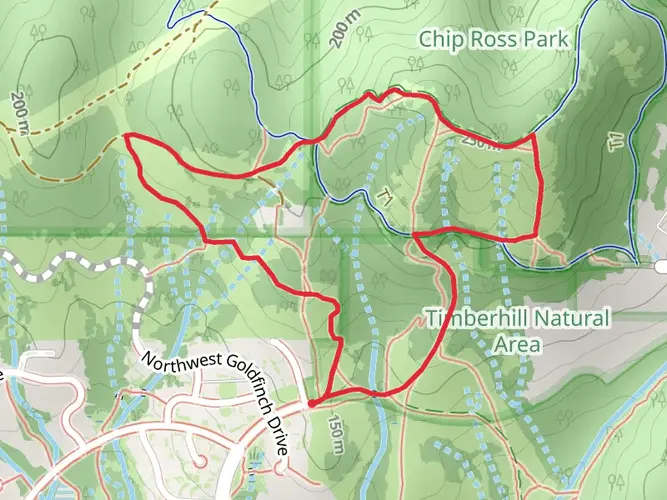
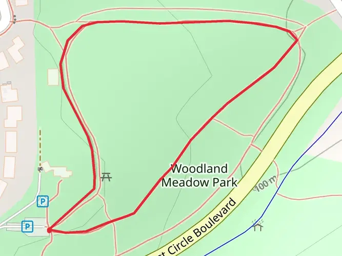
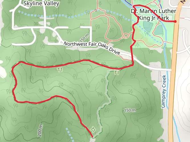
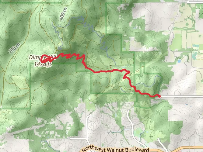
Nestled in the scenic region near Benton County, Oregon, the Chip Ross and Lower Dan's Loop Trail offers an engaging outdoor experience for hikers looking to explore the Pacific Northwest's natural beauty. This approximately 5 km (3.1 miles) loop trail, with an elevation gain of roughly 100 meters (328 feet), presents a medium difficulty level, making it suitable for hikers with some experience.
Getting to the Trailhead To reach the trailhead, you can drive to the northern end of Lester Avenue in Corvallis, Oregon, where you will find parking available. For those opting for public transportation, the local bus services can drop you off near the area, and from there, it's a short walk to the trailhead.
Navigating the Trail As you embark on your hike, you'll find the trail well-marked, with clear signage to guide you along the way. For additional navigation support, the HiiKER app is a reliable tool to ensure you stay on the right path and can track your progress throughout the hike.
Natural Features and Wildlife The trail meanders through a mixed forest of Douglas fir, big-leaf maple, and Oregon white oak, providing a canopy of greenery and a habitat for various bird species. Keep an eye out for woodpeckers, nuthatches, and the occasional raptor soaring above. The understory is rich with ferns and mosses, particularly vibrant after a rain.
Historical Significance The area around the Chip Ross and Lower Dan's Loop Trail is steeped in history. The land was once inhabited by the Kalapuya people before European settlers arrived. As you hike, consider the centuries of history that have shaped this landscape, from indigenous stewardship to its current status as a public park.
Landmarks and Points of Interest Approximately halfway through the hike, you'll reach the summit of Chip Ross Park, which offers panoramic views of the surrounding Willamette Valley and the distant Cascade Mountains. This is an ideal spot to take a break and enjoy the scenery.
Trail Etiquette and Safety Remember to stay on designated trails to protect the fragile ecosystem and pack out all trash to keep the area pristine for wildlife and fellow hikers. The trail can be muddy and slippery after rain, so wearing proper footwear with good traction is recommended. Always carry sufficient water and snacks, and be prepared for changing weather conditions.
By following these guidelines and respecting the natural environment, your hike on the Chip Ross and Lower Dan's Loop Trail will be a memorable and enjoyable experience.

What to expect?
Activity types
Comments and Reviews
User comments, reviews and discussions about the Chip Ross and Lower Dan's Loop Trail, Oregon.
4.47
average rating out of 5
17 rating(s)