
Download
3D Flyover
Add to list
More
3.4 km
~42 min
12 m
Out and Back
“A gentle woodland stroll leads to cool mist and a thundering waterfall reward, crowds permitting.”
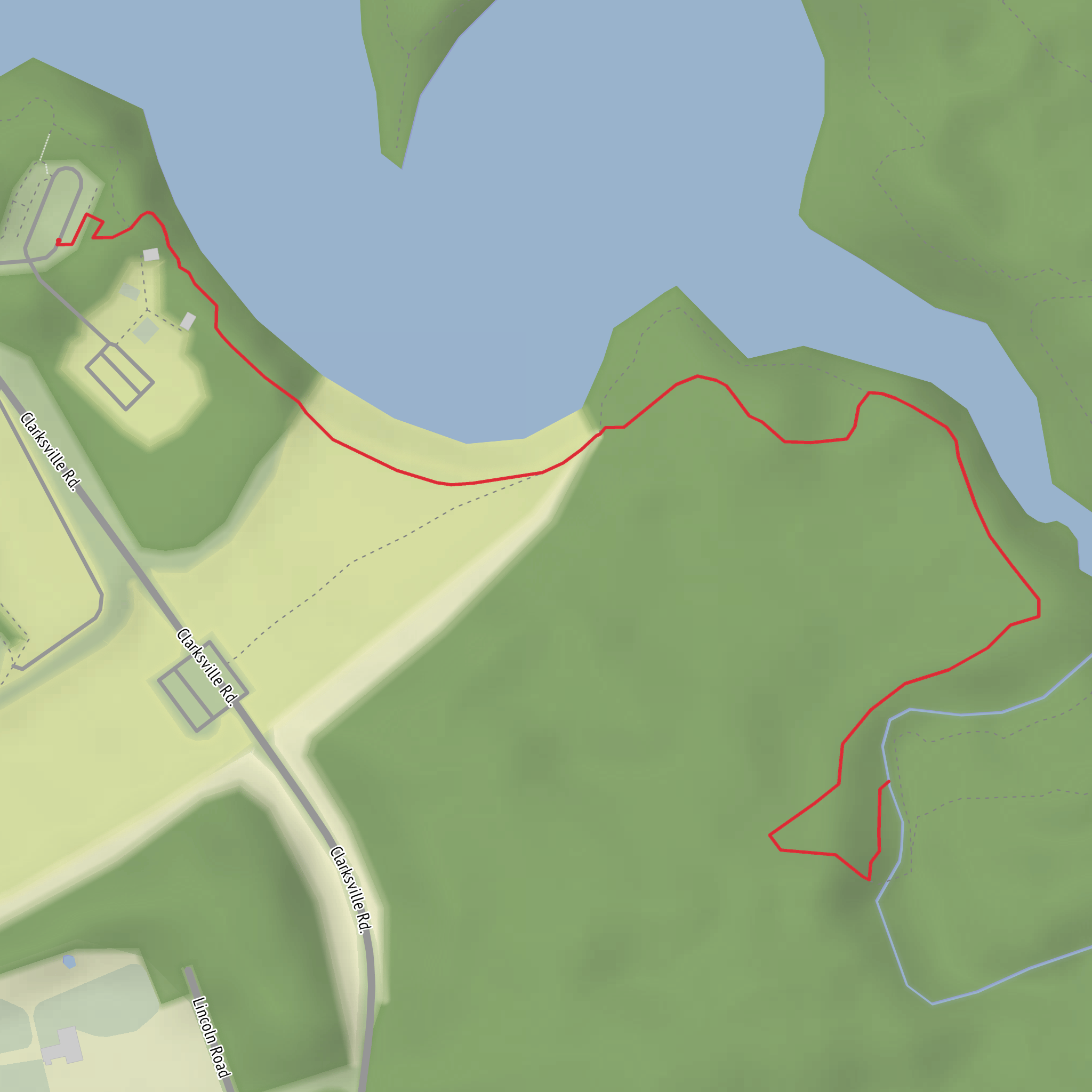
This is a short, mostly level outing to a waterfall viewpoint on a well-used perimeter-style path—ideal if you want a low-effort walk with a big payoff. Expect roughly 3 km (1.9 mi) round trip with about 0 m (0 ft) of climbing overall, though you may notice minor undulations where the trail rolls over roots or small drainage dips.
Getting to the trailhead (car + public transport)
Because the hike head is listed only as “near” (no coordinates or place name), I can’t reliably convert a lon/lat to a nearby address or landmark yet. If you share the trailhead coordinates (or the park/nearest town), I’ll pin it to the closest recognizable access point (e.g., a named parking lot, visitor center, or road junction) and tailor directions precisely.
For now, here’s the typical approach for “Perimeter Trail” waterfall walks in managed parks:
- By car: Look for the main day-use parking area closest to the falls access (often signed for “Falls,” “Day Use,” or “Trailhead”). Arrive earlier on weekends—waterfall walks are popular, and small lots fill quickly. If there’s a gatehouse, have a payment method ready for day-use fees.
- By public transport: In many regions, the best strategy is to take transit to the nearest town center or park entrance stop, then use a short rideshare/taxi to the day-use lot. If you tell me the nearest town/park name, I can suggest the most realistic transit-to-trail plan.
What the walk is like underfoot
With an easy rating and near-zero net elevation gain, the main “difficulty” comes from surface conditions rather than steepness:
- Trail surface: Usually compacted dirt or fine gravel, sometimes boardwalk or short paved connectors near viewpoints. After rain, expect muddy patches and slick roots.
- Width & traffic: Perimeter trails are often wider and busier, with families and casual walkers. Keep right, and anticipate oncoming groups near viewpoints.
- Footwear: Light hikers or trail runners are fine in dry weather; choose shoes with decent tread if it’s wet.
If you’re navigating, load the route on HiiKER and keep an eye on any short spur paths—perimeter systems often have side trails that look tempting but can lead to alternate overlooks or service roads.
Landmarks and the main payoff
You’ll typically start with a gentle approach through mixed woodland or parkland edge, then the sound of moving water becomes your cue that you’re close. The final approach to Horseshoe Falls commonly includes:
- A widening corridor of foot traffic and more defined tread
- Viewpoint fencing/railings or a designated lookout area
- Mist and cooler air near the falls, especially on humid days or during higher flow
Plan a little extra time at the falls: even on a short route, the viewpoint is where crowds bottleneck, and you may want to wait for a clear look or photos.
Nature, wildlife, and what to look out for
Even on a short perimeter walk, the ecology around waterfalls is often richer than you’d expect:
- Riparian plants: Look for moisture-loving ferns, mosses, and leafy understory plants near the spray zone. These areas can be fragile—stay on the hardened tread and designated viewing surfaces.
- Birdlife: Songbirds are common along wooded edges; near water you may see species that hunt insects over the stream corridor.
- Small mammals: Squirrels and chipmunks are frequent in day-use areas; secure snacks and don’t feed wildlife.
Safety-wise, the biggest hazards are usually: - Slippery rock and wet boardwalks near the falls - Undercut edges along streambanks (don’t step past barriers) - High water conditions after storms—fast water can make banks unstable and viewpoints mistier/slicker
Historical and regional context (what’s usually significant here)
Waterfalls like Horseshoe Falls are often tied to the area’s geologic history—a resistant rock layer over softer material can create a drop where erosion undercuts the lip over time. In many regions, falls corridors also overlap with older human travel routes because waterways naturally guide movement through the landscape.
If you share the state/province and park/municipality, I can add accurate, place-specific historical context (e.g., Indigenous stewardship and place history, early settlement/industry ties such as milling, or protected-area designation).
Practical planning notes (timing, accessibility, and etiquette)
- Time needed: Most hikers will take 45–90 minutes for 3 km (1.9 mi) including time at the falls, depending on crowding.
- Best conditions: After a few dry days for firmer footing; after moderate rain for stronger flow (but expect more mud).
- Family-friendly tips: Keep kids close near water and viewpoints; the terrain is easy, but the consequences near edges are serious.
- Leave No Trace: Pack out all trash; avoid stepping off-trail near the falls where vegetation is easily damaged.
If you send the trailhead coordinates (lon/lat) or even just the nearest town/park name, I’ll convert it to the nearest known address/landmark, tighten up the access directions, and tailor the description to the exact Horseshoe Falls you mean (there are multiple with that name).
Surfaces
Dirt
Unknown
Comments and Reviews
User comments, reviews and discussions about the Horseshoe Falls via Perimeter Trail, Ohio.
average rating out of 5
0 rating(s)

