
Download
3D Flyover
Add to list
More
2.8 km
~34 min
12 m
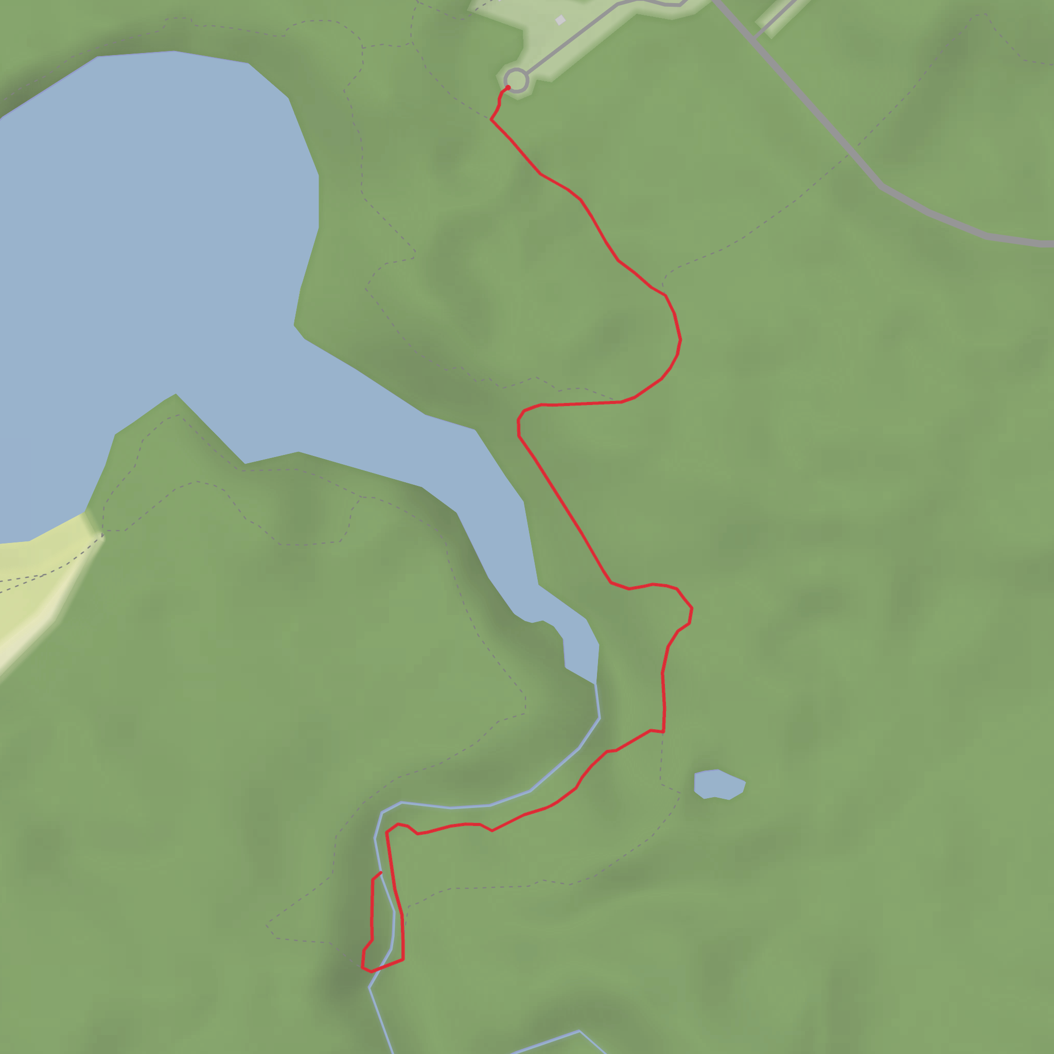
Out and Back
“A misty, mostly level wander through lush river greenery to a crowd‑buzzed waterfall overlook.”
I’m missing a few key pieces of location info to make this accurate (there are multiple “Horseshoe Falls Trail” hikes in the U.S. and Canada, and the landmarks/wildlife/history vary a lot). If you paste the trailhead coordinates (lon/lat) or a HiiKER link, I’ll convert them to the nearest known address/landmark and tailor everything precisely.
In the meantime, here’s a planning-ready description that fits a ~3 km / ~1.9 mi, ~0 m / ~0 ft gain, Easy out-and-back style waterfall walk—written so you can use it immediately, and I’ll swap in the exact place names, transit options, and local history once you confirm the location.
You’ll typically start from a developed access point (parking area or day-use lot) and follow a wide, mostly level path toward the river corridor. With essentially no meaningful elevation gain (~0 m / ~0 ft), the effort comes more from footing (wet rock, mud, or packed gravel) and crowding near viewpoints than from climbing. Expect the first 0.5 km / 0.3 mi to feel like a warm-up on the most maintained tread—often a mix of compacted dirt, gravel, or boardwalk depending on the park.
As you get closer to the falls (commonly around 1.0–1.5 km / 0.6–0.9 mi from the start on a 3 km round trip), you’ll usually notice a temperature drop and more humidity in the air. The sound of the water becomes your main cue that you’re nearing the main viewpoint. If the trail parallels a river, you may have short spur paths to the bank—these are often the slickest spots and where people most often slip.
Footing, surfaces, and what to watch for
Even on an “easy” waterfall trail, the last approach to the viewpoint is where conditions change quickly:
- Spray zone slickness: Rock and wood surfaces can be algae-slick within the mist line. Treat any dark, shiny rock as low-traction, especially within the final 200 m / 0.1 mi near the falls.
- Edge hazards: Viewpoints can be deceptively close to undercut banks. Stay behind railings/fences where present; if there are none, keep a conservative buffer from the lip and avoid stepping onto isolated boulders.
- Seasonal mud/ice: Flat trails hold water. After rain or snowmelt, puddles and mud can persist for days. In shoulder seasons, shaded sections can hide thin ice even when the trailhead feels mild.
- Stroller/wheelchair reality check: “Flat” doesn’t always mean accessible—roots, narrow pinch points, and short steep ramps to viewpoints can be the limiting factor. If accessibility matters, confirm surface type and barriers using HiiKER before you go.
Landmarks and the main viewpoint
Most routes of this length deliver a primary waterfall viewpoint and sometimes a secondary angle slightly downstream or upstream:
- Primary falls overlook: Usually the turnaround point. Plan to spend time here—crowding is common, and you may wait for a clear photo window.
- Riverbank side views: If there’s a short spur, it may offer a lower, more dramatic angle, but it’s also where footing is most unstable.
- Interpretive signs / historic features: Many Horseshoe Falls sites have signage about local geology (hard caprock over softer layers creating the drop) and watershed history. If you see old stonework, remnants of a mill race, or a diversion channel, that can indicate historic water use—common in many falls areas where early industry relied on consistent flow.
Nature, plants, and wildlife you may encounter
Waterfall corridors concentrate life, and even short hikes can feel lush:
- Riparian vegetation: Expect moisture-loving plants—ferns, mosses, and dense shrubs—especially within the last 0.5 km / 0.3 mi approaching the falls.
- Birdlife: Songbirds are often active along the water; raptors may circle above open river bends. Early morning is typically best for sightings.
- Amphibians and insects: Wet trails can mean frogs/salamanders near seeps and a higher chance of mosquitoes/gnats in warm months. Bring repellent if temperatures are above ~10–12°C / 50–54°F.
- Larger mammals: In many regions, deer are common; in bear country, treat this like any other short forest walk—make noise in blind corners, keep food sealed, and don’t linger quietly at dense brush edges.
Navigation and timing
A 3 km / 1.9 mi easy, flat hike is often 45–90 minutes round trip depending on crowding and how long you spend at the falls. Navigation is usually straightforward, but waterfall areas often have tempting social paths. Use HiiKER to confirm you’re staying on the main trail and to identify any official spur to the viewpoint so you don’t end up on an eroded user track.
Getting to the trailhead (car and public transport)
Because the exact Horseshoe Falls Trail location isn’t specified yet, here’s the practical framework that applies to most:
- By car: These trails commonly start at a signed day-use lot near a park entrance, picnic area, or scenic pullout. Arrive early on weekends—small lots fill fast, and roadside parking is often restricted near popular falls.
- By public transport: If the falls are near a town, the usual pattern is: bus/train to the nearest transit hub, then a local bus or rideshare to the park entrance/closest road crossing. The last **0.
Surfaces
Unknown
Dirt
Comments and Reviews
User comments, reviews and discussions about the Horseshoe Falls Trail, Ohio.
4.0
average rating out of 5
1 rating(s)

