
Download
3D Flyover
Add to list
More
2.8 km
~37 min
37 m
Loop
“Wander Caesar Creek’s shaded gorge loop, where fossil-studded limestone and birdsong reward careful footing.”
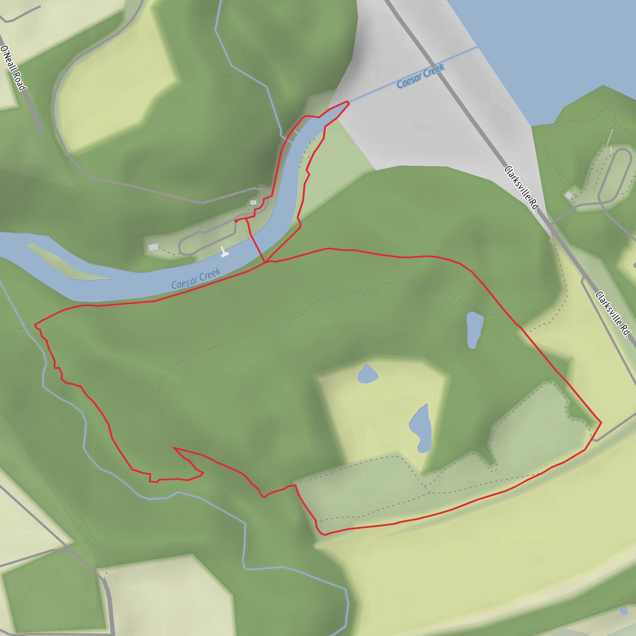
This easy loop sits at the south end of Caesar Creek State Park near Waynesville/Oregonia, Ohio, using the well-known gorge/spillway area below the dam. Expect a short, scenic walk of about 3 km (1.9 mi) with minimal overall elevation gain (near 0 m / 0 ft net)—though you’ll still step up and down small creek-bank grades and uneven rock.
Getting to the start (parking + public transport)
By car: The most reliable “pin” for the gorge area is the Caesar Creek Gorge State Nature Preserve / spillway vicinity. A commonly used nearby address is 4080 Corwin Rd, Oregonia, OH 45054 (a signed access point for the gorge/preserve area). From there, you’re close to the dam/spillway parking areas and trail access used for gorge loops. (mapquest.com)
If you’re navigating by landmarks instead of an address, aim for the Caesar Creek Lake Dam / emergency spillway area at the south end of the lake; there are established parking pull-offs/lots used by hikers and fossil-hunters. (lrd.usace.army.mil)
By public transport: This part of Warren County is car-oriented. There isn’t typically a convenient bus stop at the gorge/spillway trailhead; most visitors drive. If you must use transit, plan on getting as close as you can to Waynesville or Lebanon via regional services and then using a rideshare/taxi for the final miles to the dam/spillway area.
What the loop is like underfoot
Right from the parking area, the character is “gorge walk”: a mix of packed dirt, short rocky stretches, and occasional paved/maintenance-road segments depending on exactly how you link the loop. The tread is generally friendly for beginners, but it’s not a sidewalk stroll—watch for: - Loose rock and uneven limestone (easy to roll an ankle if you’re not looking ahead) - Mud after rain in low spots near the creek - Slippery edges on damp rock, especially in shaded sections
Plan on 45–75 minutes at a relaxed pace with stops for creek views and geology.
Route flow (approximate distances)
Because several short connectors and “choose-your-own” options exist in the gorge/spillway area, use HiiKER to confirm the exact loop you intend to follow before you start—especially if you want to keep it close to 3 km / 1.9 mi.
A typical, easy-going loop rhythm looks like this:
- 0.0–0.6 km (0.0–0.4 mi): Settle in along the creek corridor. You’ll be close to water, with a cool, shaded feel in summer and excellent visibility through the woods in late fall and winter.
- 0.6–1.6 km (0.4–1.0 mi): The trail bends through mixed woodland and small openings. This is where you’ll notice the most “micro-ups-and-downs” as the path negotiates shallow drainages and the edge of the gorge.
- 1.6–3.0 km (1.0–1.9 mi): The loop closes back toward the spillway/parking area, often with a slightly more open feel and occasional wider tread where foot traffic concentrates.
Landmarks, nature, and wildlife to look for
Gorge geology & fossils: This area is famous locally for exposed bedrock and fossil-hunting in/near the spillway zone. The spillway exposures are a big reason people come here beyond the scenery. If you’re curious about fossils, check posted rules and stay within allowed areas—some zones are managed differently than general park trails. (dam.assets.ohio.gov)
Creek corridor habitat: Along Caesar Creek you’ll often see: - Songbirds and woodpeckers working the trunks and canopy (spring mornings are best) - White-tailed deer at dawn/dusk - Turtles and amphibians in warmer months near calmer water
Plants: Expect a classic southwest Ohio mix—hardwoods with seasonal wildflowers. In spring, the forest floor can be lively; in summer, the gorge stays greener and cooler than surrounding open areas.
Historical significance (what you’re walking beside)
The “big human story” here is
Surfaces
Gravel
Unknown
Grass
Comments and Reviews
User comments, reviews and discussions about the Caeser Creek via Caesar Creek Gorge Loop Trail, Ohio.
average rating out of 5
0 rating(s)

