
Download
3D Flyover
Add to list
More
3.4 km
~48 min
77 m
Loop
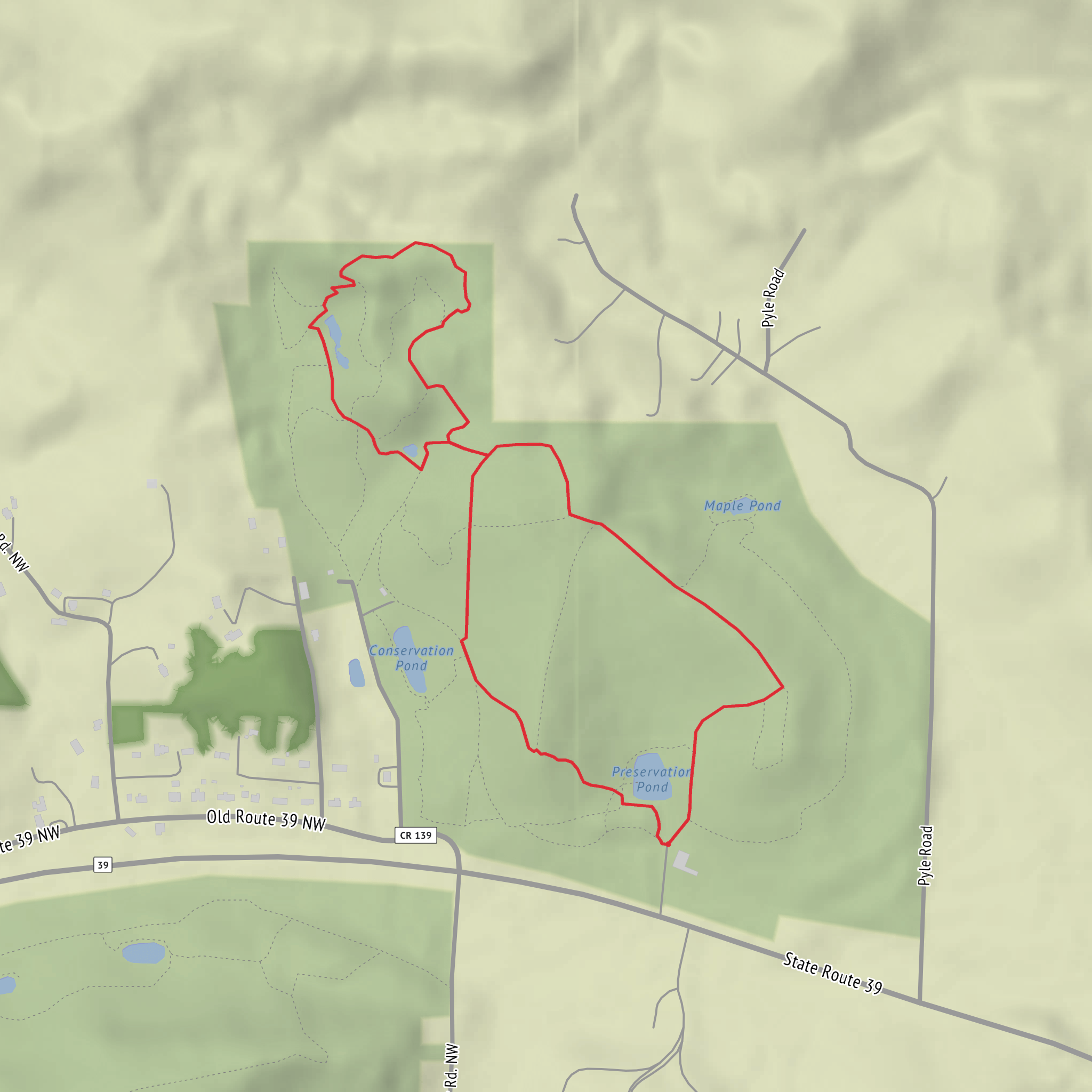
“A thoughtful loop-in-waiting, promising conservation stories once your trailhead details fill in the map.”
I’m missing a few key pieces of information needed to describe this specific “Preservation and Conservation Loop” accurately (there are multiple trails with that name in different places), and you left the start location blank (“Hike head: near …”). If you share the start point, I’ll convert it to the nearest known address/landmark and tailor the route, landmarks, hazards, and logistics to the correct park/region.
Send one of the following (any is fine):
- A lon/lat for the trailhead (example: 40.7128, -74.0060), or
- A Google/Apple Maps link, or
- The park/trail system + nearest town/state (e.g., “Preservation and Conservation Loop in ___ Park near __, __”).
Also tell me (if you know): - Hike type: loop/out-and-back/point-to-point (you left it blank; I can assume loop because of the name, but I’d rather be exact) - Any constraints: kid-friendly, dog-friendly, stroller, avoid steep sections, best season, etc.
Once I have the location, I’ll produce a full planning-ready description for ~3 km (≈1.9 mi) and ~100 m gain (≈328 ft), including: - step-by-step expectations with approximate distance/elevation by segment (km/mi + m/ft) - notable natural features and likely wildlife for that exact ecosystem - any local historical context tied to the region/land management - how to reach the trailhead by car and public transport - what to watch for (surface, mud, ticks, snakes, closures, hunting seasons, water crossings, etc.) - navigation guidance referencing HiiKER only
Comments and Reviews
User comments, reviews and discussions about the Preservation and Conservation Loop, Ohio.
average rating out of 5
0 rating(s)
