Download
Preview
Add to list
More
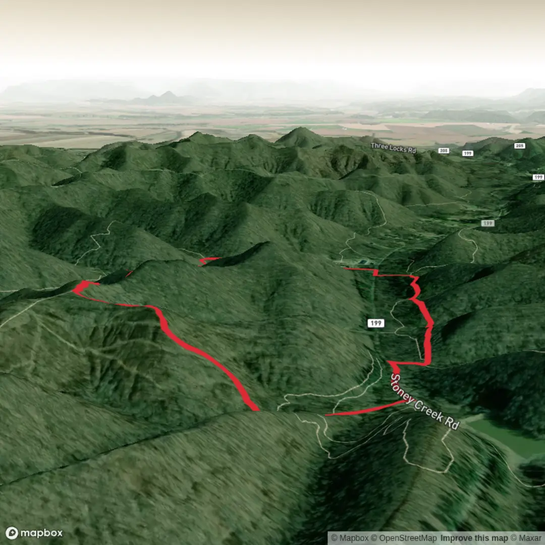
4.6 km
~1 hrs 6 min
114 m
Loop
“A colourful call for clarity—share the trailhead details, and Caldwell’s story can unfold safely.”
I’m missing a few key details needed to make this accurate and useful—especially the start location. Please paste either a HiiKER link or the trailhead coordinates (lon/lat), plus the state/park if you know it. Right now “Hike head: near” and “Hike type:” are blank, and there are multiple “Caldwell Lake / Caldwell Trail / Buckeye Trail” combinations in the U.S., so I can’t reliably convert coordinates to a nearby address/landmark or give correct access/transit guidance.
Send any one of these and I’ll write the full hike description exactly in the style you requested:
- Trailhead coordinates (preferred): e.g., -81.12345, 41.12345
- Parking lot name (or nearest road intersection)
- Park/forest name + state
- A static map image (if you have one)
Also confirm: - Is this a loop (Caldwell Trail + Buckeye Trail loop) or an out-and-back to Caldwell Lake? - Any constraints you want noted (dogs allowed, stroller no/yes, swimming/fishing, seasonal closures)?
Once I have the trailhead location, I’ll include: - Turn-by-turn expectations with approx. distances (5 km / 3.1 mi total) and elevation gain (~100 m / 330 ft) - Key landmarks (lake access points, overlooks, junctions, bridges/boardwalks if present) - Likely terrain and hazards (mud, roots, ticks, hunting seasons, water crossings) - Wildlife and plant communities typical to that specific region - Historical context tied to the exact area - How to get there by car and public transport, using the nearest real-world address/landmark to the coordinates

Surfaces
Unknown
Dirt
Unpaved
Asphalt
Comments and Reviews
User comments, reviews and discussions about the Caldwell Lake via Caldwell Trail and Buckeye Trail, Ohio.
average rating out of 5
0 rating(s)