
Download
3D Flyover
Add to list
More
3.7 km
~44 min
0 m
Loop
“A vivid invitation to share trailhead details, so a tailored, grounded hike story can unfold.”
I’m missing a few key pieces of information to make this accurate (especially the start location). “Outer Trail and Chilo Trail” exists in more than one place, and your “Hike head: near” line looks incomplete—so I can’t reliably convert lon/lat to a nearby address/landmark or give correct transport directions yet.
Send any one of the following and I’ll write the full hike description exactly in the style you requested:
1) A HiiKER link to the route, or
2) GPS coordinates for the trailhead (lon/lat), or
3) Park/area name + nearest town/state, plus where you plan to start/park.
If you have them, also include: - Hike type (loop / out-and-back / point-to-point) - Any map screenshot or GPX/KML (optional)
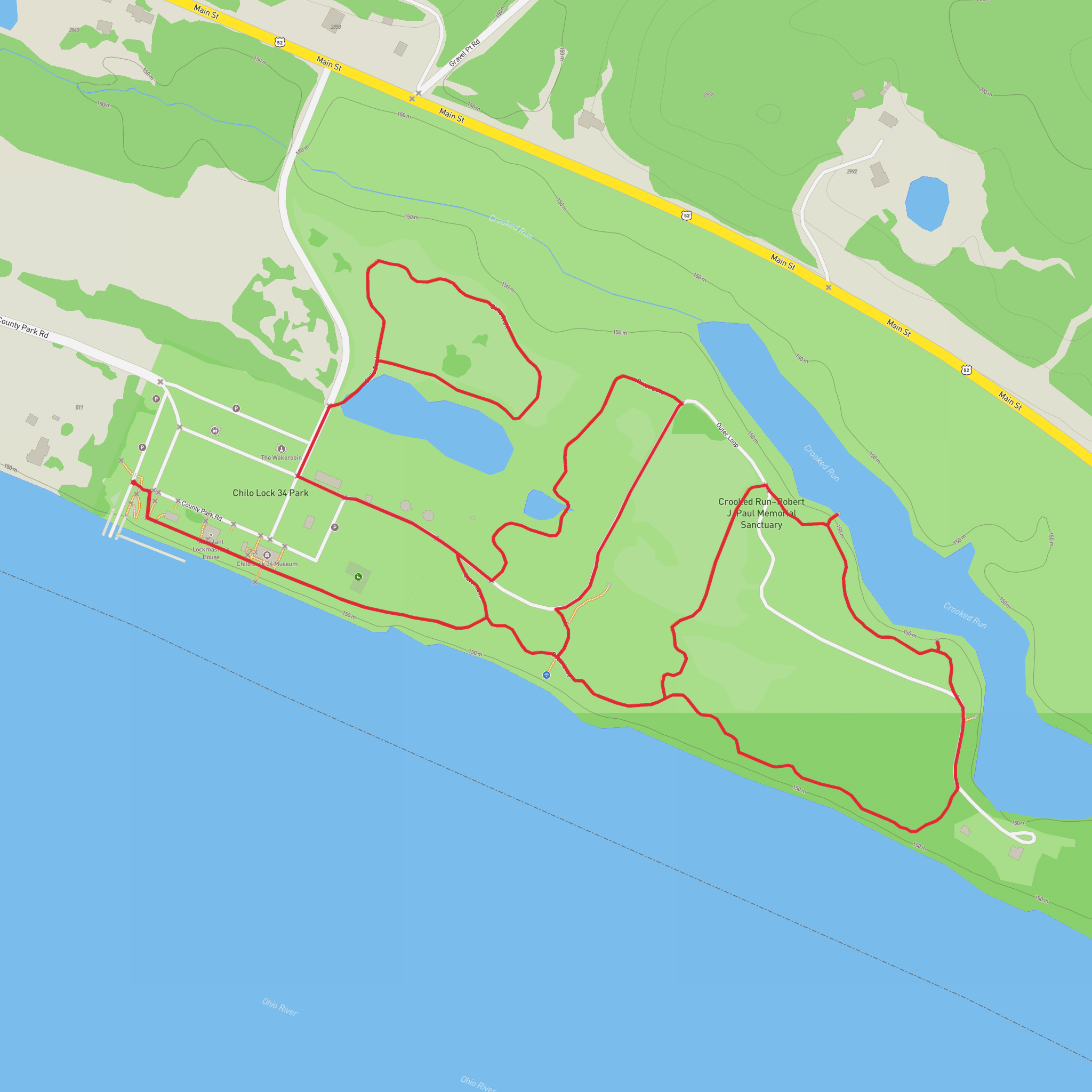
Once you share the trailhead location, I’ll: - Convert the coordinates to the nearest known address or notable landmark - Give car + public transport options to the start - Describe the route with approx. distances in km + miles (4 km ≈ 2.5 mi) and elevation gain in m + ft (0 m ≈ 0 ft) - Call out landmarks, terrain, surfaces, accessibility notes, and wildlife/nature - Add historical context specific to the region - Include navigation guidance referencing HiiKER only
Surfaces
Unknown
Unpaved
Gravel
Dirt
Concrete
Comments and Reviews
User comments, reviews and discussions about the Outer Trail and Chilo Trail, Ohio.
average rating out of 5
0 rating(s)

