
Download
3D Flyover
Add to list
More
5.0 km
~1 hrs 8 min
90 m
Out and Back
“Slip into Santa Anita Canyon’s cool shade for a seasonal waterfall—then earn the climb back.”
A short, family-friendly out-and-back that drops you into a shaded canyon to one of the San Gabriel Mountains’ most popular waterfalls. At roughly 5 km (3.1 mi) with about 100 m (330 ft) of elevation change, it’s mostly a gentle descent to the falls and a steady climb back out—easy for most hikers, but you’ll feel the return grade.
Getting to the trailhead (car + public transport)
By car:
Aim for the Chantry Flat Recreation Area above Sierra Madre, California. The usual jumping-off point is the Chantry Flat parking area near the Chantry Flat Road gate / trailhead kiosks (a well-known access point for the Santa Anita Canyon trail network). From central Sierra Madre, you’ll drive up Chantry Flat Road into the mountains to the main parking lots and trailhead area.
By public transport:
Public transit can get you close, but not all the way to the gate. The practical approach is:
- Take regional transit to Sierra Madre / Arcadia area, then
- Use a rideshare/taxi for the final climb up Chantry Flat Road to the recreation area (the road is steep and the trailhead is well above town).
If you’re planning a weekend hike, start early—parking fills quickly, and the canyon trails get busy.
What the route is like underfoot
From the Chantry Flat trailhead area, the Helen C. Black Trail heads into Santa Anita Canyon, quickly trading sun for shade as you enter a corridor of oaks, bay laurel, and riparian vegetation. The first part trends downhill overall, so it feels effortless on the way in—expect a mix of compact dirt, small gravel, and occasional rocky steps where the trail tightens along the canyon wall.
You’ll likely cross or closely parallel the creek in places (season-dependent). After rains, the path can be damp and slick in shaded sections; in late spring and summer it’s often dry and dusty, with a few cooler pockets near water.
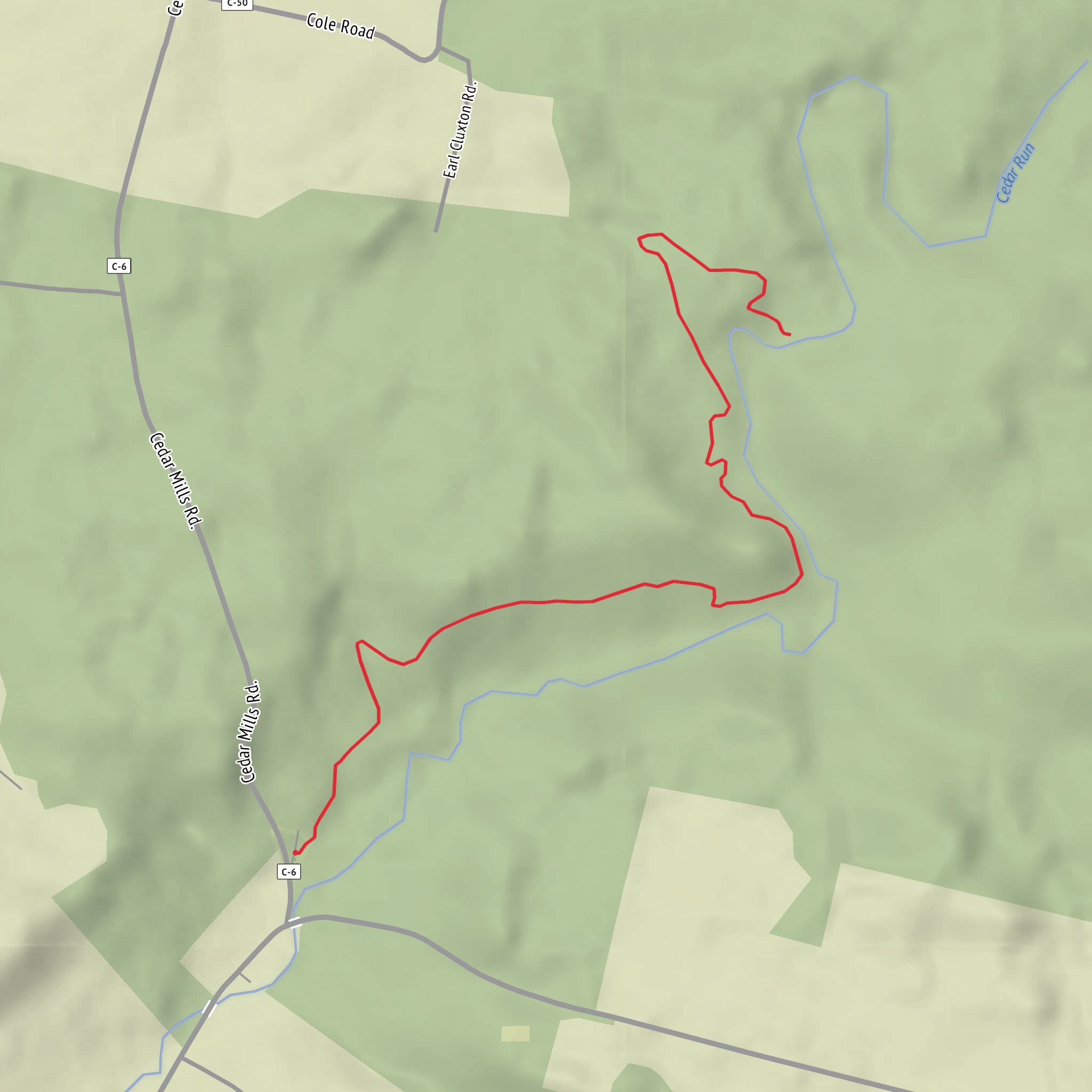
Approximate breakdown (varies slightly by exact start point and spur choices): - 0.0–1.5 km (0.0–0.9 mi): Easy descent into the canyon, gradual grade, shaded stretches. - 1.5–2.5 km (0.9–1.6 mi): Canyon narrows; you’ll hear water more often in wetter months; footing becomes a bit rockier. - ~2.5 km (1.6 mi): Cedar Falls area—turnaround point for the out-and-back.
Landmarks, scenery, and what to look for
Canyon character: This is classic San Gabriel front-country: steep chaparral slopes above, greener creekside growth below. In spring, look for wildflower patches where sunlight reaches the trail edges; in hotter months, the canyon’s shade is the main attraction.
Cedar Falls: The waterfall is the focal point, but its flow is highly seasonal. After winter storms and during spring runoff, it can be lively; by late summer or during drought years it may be reduced to a trickle or a damp rock face. The immediate area around the falls is often cooler and can be slick—watch for algae-coated rock and wet sand.
Wildlife:
- Common sightings: lizards, squirrels, and a wide variety of birds (including jays and woodpeckers).
- Occasional: deer, and in quieter hours, you may spot signs of larger mammals.
- Rattlesnakes: possible in warm weather, especially on sunny edges of the trail—give them space and step carefully around blind corners.
Navigation and timing
Even though this is a popular, well-trodden route, side paths and junctions in Santa Anita Canyon can be confusing if you’re new to the area. Use HiiKER to confirm you’re staying on the Helen C. Black Trail alignment and to avoid accidentally drifting onto connecting routes.
Plan on 1.5–2.5 hours for most hikers at an easy pace with time at the falls. Remember: the return is the “work” portion—what you descended on the way in becomes your climb out.
Hazards and practical prep
- Slippery surfaces near water: especially after rain or in shaded canyon bends. Shoes with decent tread help.
- Heat and sun exposure: while the canyon offers shade, the approach and some open stretches can be hot. Bring more water than the short distance suggests—at least 1 liter for most adults, more in warm weather.
- Rockfall and erosion: canyon trails can have loose rock after storms. Stay alert beneath steep slopes.
- Crowds: weekends can be busy; early starts mean easier parking and a quieter falls area.
Historical significance of the area
Santa Anita Canyon and the Chantry Flat region sit within a long-used mountain corridor of the San Gabriel Mountains, an area with deep Indigenous history and later layers of recreation-era development tied to Southern California’s early mountain tourism. The canyon’s trail network reflects that long relationship between Los Angeles’ foothill communities and the front-range mountains—routes built and maintained to access water, canyon landmarks, and scenic destinations like Cedar Falls.
If you share the missing “Hike head: near …” details (a coordinate pair or a place name), I can pin it to the nearest specific landmark/address and tailor the driving/transit directions to that exact start point.
Surfaces
Ground
Unknown
Wood
Comments and Reviews
User comments, reviews and discussions about the Cedar Falls via Helen C Black Trail, Ohio.
average rating out of 5
0 rating(s)
