Download
3D Flyover
Add to list
More
228.8 km
~9 days
3195 m
Multi-Day
“Embark on a timeless trek through diverse terrains and history along North Dakota's Maah Daah Hey Trail.”
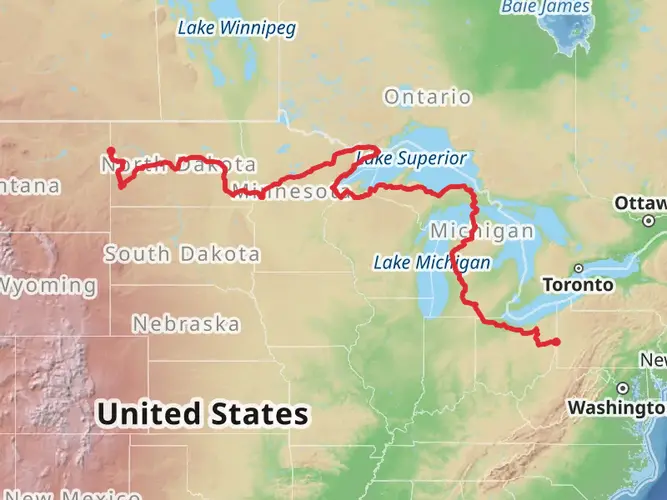
Spanning approximately 229 kilometers (142 miles) through the rugged and picturesque Badlands of North Dakota, the Maah Daah Hey Trail offers an immersive experience into the heart of the American West. With an elevation gain of around 3100 meters (10,170 feet), this point-to-point trail is a journey through time, nature, and the spirit of adventure.
Getting to the Trailhead
The southern terminus of the Maah Daah Hey Trail is accessible near Slope County, close to the Amidon area. For those arriving by car, the trailhead is located near the CCC campground on the East River Road, which is a turnoff from Highway 85. Public transportation options are limited in this rural area, so most hikers opt to drive or arrange a shuttle service from nearby towns such as Medora or Dickinson.
Navigating the Trail
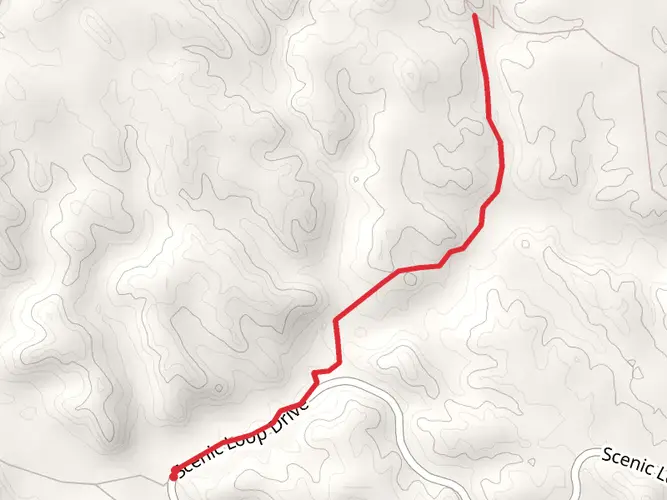
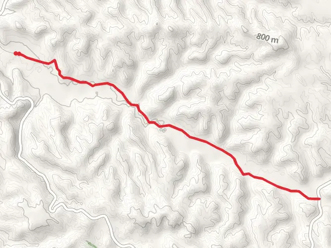
Hikers can rely on HiiKER to navigate the trail, as it provides detailed maps and waypoints that are crucial for a successful trek. The trail is marked with iconic wooden posts bearing the Maah Daah Hey turtle logo, which symbolizes patience and determination. These markers are your guide through the trail's diverse terrain, from rolling prairies to steep badland buttes.
Landmarks and Scenery
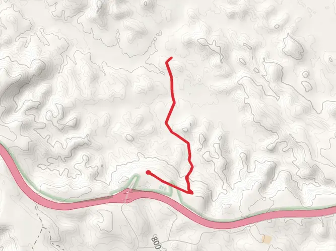
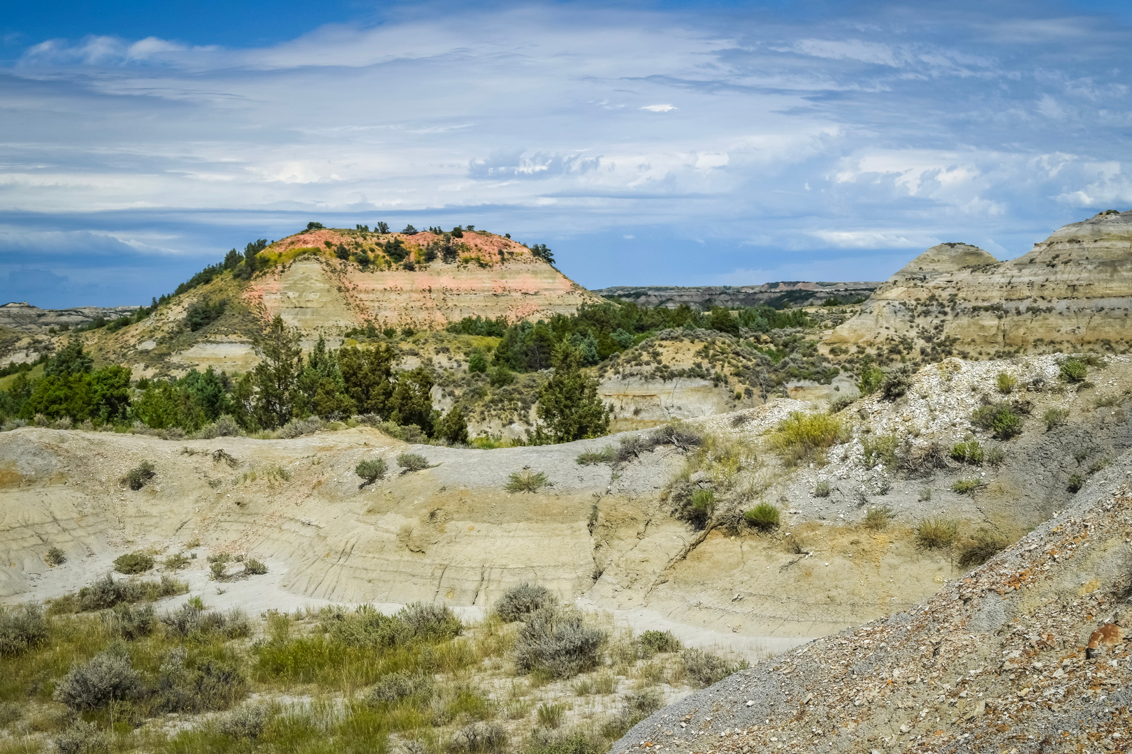
As you embark on the Maah Daah Hey Trail, you'll encounter a variety of landscapes. The trail meanders through colorful canyons, crosses over grassy plateaus, and skirts the edges of the Little Missouri River. Notable landmarks include the imposing Bullion Butte, the Ice Caves, and the Petrified Forest, each offering unique geological and photographic opportunities.
Around the 50-kilometer (31-mile) mark, hikers reach the picturesque Cottonwood Campground, a perfect spot to rest and replenish. Further along, at approximately 145 kilometers (90 miles), the trail intersects with the North Unit of Theodore Roosevelt National Park, where the landscape is dotted with bison, wild horses, and prairie dogs.
Wildlife and Flora
The Maah Daah Hey Trail is a haven for wildlife enthusiasts. The region is home to mule deer, pronghorn antelope, and golden eagles. The flora is equally diverse, with prairie roses, coneflowers, and sagebrush providing a fragrant backdrop to your hike. Be sure to keep a respectful distance from wildlife and adhere to Leave No Trace principles to preserve the natural habitat.
Historical Significance
The trail's name, Maah Daah Hey, comes from the Mandan people, meaning "an area that has been or will be around for a long time." As you traverse the trail, you're walking in the footsteps of Native Americans, fur traders, and the 26th President of the United States, Theodore Roosevelt, who famously ranched in the Badlands and credited his time there with shaping his conservation policies.
Preparation and Planning
Given the trail's length and remote nature, hikers should be well-prepared with adequate supplies, including water, food, and emergency gear. Water sources are scarce, so carrying a filtration system and planning for water stops is essential. The trail can be hiked in sections or in its entirety, with the full trek taking an average of 10 to 15 days to complete.
Weather in the Badlands can be unpredictable, with hot summers and cold winters. It's advisable to check the forecast and plan your hike for the milder seasons of spring or fall. Lastly, arranging transportation for the end of the trail is crucial, as the northern terminus is located near the Sully Creek State Park, south of Medora, which is approximately 229 kilometers (142 miles) from the starting point.
Whether you're seeking solitude, a challenging adventure, or a deep connection with the American wilderness, the Maah Daah Hey Trail is a testament to the rugged beauty of North Dakota's landscape and the enduring spirit of its past inhabitants.

What to expect?
Activity types
Frequently asked questions
How long is the Maah Daah Hey Trail and how many days does it usually take to hike?
The Maah Daah Hey Trail is about 228.81 kilometers, or roughly 142 miles, with around 3,195 meters of climbing. Most thru-hikes take several days because it is a true multi-day point-to-point route through the North Dakota Badlands, linking the southern end near Burning Coal Vein or the Medora area with the northern end near CCC Campground south of Watford City.
Where do hikers start and park for the Maah Daah Hey Trail?
Common access points for the Maah Daah Hey Trail include the southern end near Burning Coal Vein Campground and the northern end at CCC Campground. CCC Campground has a Maah Daah Hey trailhead just west of the campground, and it is one of the main staging points for long-distance hikes. Because the route is point-to-point, many hikers arrange a shuttle between trailheads rather than leaving a car at one end.
Is the Maah Daah Hey Trail dog friendly for backpacking?
Dogs can be taken on much of the Maah Daah Hey Trail outside Theodore Roosevelt National Park, but the park sections have stricter rules. Pets are not allowed on trails within Theodore Roosevelt National Park, so anyone hiking with a dog needs to plan around those segments carefully. On the non-park portions of the route, the trail is shared with hikers, horseback riders, and mountain bikers.
Can you camp along the Maah Daah Hey Trail during a thru-hike?
Yes, camping is a normal part of hiking the Maah Daah Hey Trail because the route is nearly 229 kilometers long and designed for multi-day travel. Established access points and camp areas along the corridor include places such as Bennett Campground and CCC Campground, and many hikers break the route into several overnight sections through the Little Missouri National Grassland and Badlands country.
Are there reliable water sources on the Maah Daah Hey Trail?
Water planning is one of the biggest logistics issues on the Maah Daah Hey Trail. Seasonal water caches are placed at points including Bear Creek, Beicegel Creek Road, Long X, Magpie Road, Plumely Draw, Roosevelt, Third Creek, and Tom’s Wash, but they should not be treated as guaranteed year-round sources. Long dry stretches are possible, so carrying extra capacity is important on this route.
What is the terrain like on the Maah Daah Hey Trail in North Dakota?
The Maah Daah Hey Trail crosses classic North Dakota Badlands terrain, including rolling prairie, steep buttes, colorful clay hills, and drainages near the Little Missouri River. Even though the overall rating is easy, the route still adds up to about 3,195 meters of elevation gain over 228.81 kilometers, so the repeated climbs and exposed sections can feel demanding over several days.
Can mountain bikes use the Maah Daah Hey Trail, or is it only for hikers?
The Maah Daah Hey Trail is a shared non-motorized trail used by hikers, mountain bikers, and horseback riders across most of its length. One important exception is where the route enters Theodore Roosevelt National Park: mountain bikes are not allowed on those park sections. Hikers should expect mixed use on the grassland portions of the trail.
Comments and Reviews
User comments, reviews and discussions about the Maah Daah Hey Trail, North Dakota.
4.49
average rating out of 5
91 rating(s)