Download
3D Flyover
Add to list
More
361 m
~4 min
6 m
Out and Back
“A gentle park-path stroll to Mill Park Falls offers quick misty views—watch for slick rocks.”
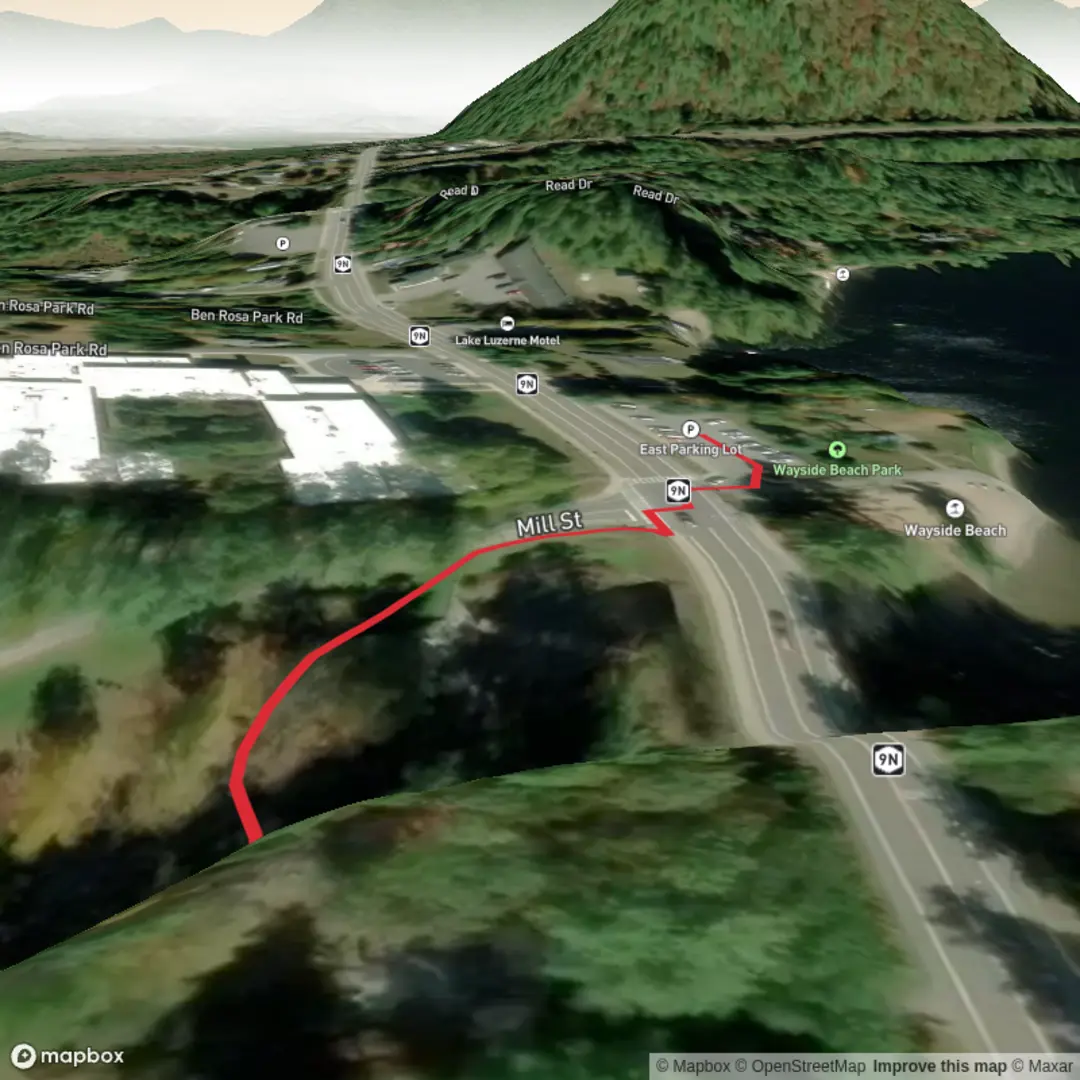
Mill Park Falls is a short, low-effort outing where the “hike” is essentially a gentle walk from nearby parking/paths to a small waterfall viewpoint. With roughly 0 km (0 mi) of hiking distance and about 0 m (0 ft) of elevation gain, it’s well-suited to families, anyone testing new footwear, or visitors who want a quick nature stop without committing to a longer trail.
Getting to the start (car + public transport)
You didn’t include coordinates for “near …”, so I can’t convert a lon/lat to the nearest address or landmark yet. If you share a pin (or even the town/city and state/province), I’ll translate it into the closest known address or significant landmark and tailor the directions precisely.
For now, plan like this: - By car: Search for “Mill Park” in your maps app and look for the main park entrance/primary parking area closest to the falls. In most parks with a named falls feature, the most direct access is from the largest signed lot (often near a playground, picnic shelter, or visitor kiosk). Arrive earlier on weekends if it’s a popular urban park—short-access waterfalls tend to draw crowds. - By public transport: If the park is in/near a town center, the most reliable approach is usually bus to the nearest stop on the park edge, then a short walk on sidewalks or park paths to the falls access point. Once you tell me the location, I can identify the nearest stop and the simplest walking line.
What the walk is like (surface, accessibility, and pacing)
Expect a park-style path rather than a backcountry trail: typically compacted gravel, pavement, boardwalk, or a well-worn dirt footpath. Because the distance is effectively near-zero, the main variables are: - Footing near the water: The last few steps to a viewpoint can be slick with algae, mist, or mud—especially after rain or during snowmelt. - Strollers/mobility: Many “falls in a park” viewpoints are close enough for strollers, but the final approach may include short ramps, steps, or uneven stone. If you need step-free access, check the route on HiiKER and look for path type notes and any barriers.
Landmarks and what to look for at the falls
Even small falls have a few consistent features worth noticing: - The plunge pool and spray zone: The rocks closest to the base are often the slickest. Keep a buffer back from the edge, especially with kids. - Rock layers and stream channel: Waterfalls frequently form where a harder rock layer resists erosion while softer layers wear away. If the falls is in a landscaped park, you may also see stonework, retaining walls, or old culverts that hint at how the stream has been managed over time. - Best viewing angles: If there are multiple short spurs, one may be a direct front-on view while another gives a side angle that shows the water’s drop more clearly. Use HiiKER to confirm any short connectors so you don’t miss the best vantage.
Nature and wildlife (what’s common around small park waterfalls)
Around a shaded stream corridor, you’ll often find: - Moisture-loving plants: Ferns, mosses, and shade-tolerant shrubs clustered where spray keeps surfaces damp. - Birdlife: Songbirds in the canopy and, depending on region, birds that hunt along water edges. Early morning is usually the most active time. - Small amphibians/invertebrates: Salamanders, frogs, and aquatic insects can be present in clean, cool water—watch where you step near the stream margins.
If this is an urban or suburban park, also expect habituated wildlife (squirrels, raccoons, possibly deer depending on region). Keep snacks secured; even short walks can attract bold animals.
Hazards and practical prep (even for an “easy” 0 km walk)
Because the outing is short, the main risks are situational rather than endurance-related: - Slippery rock and wet leaves: Traction matters more than ankle support here. Shoes with decent tread are enough. - High water after storms: Small falls can become surprisingly forceful. Stay behind railings/fences if present and avoid stepping onto midstream rocks. - Cold spray in cool weather: A light shell can be useful if you plan to linger at the viewpoint. - Crowds and narrow viewpoints: Be patient at the best photo spots; keep to the side so others can pass.
Historical significance (how I’ll tailor it once you confirm the location)
“Mill Park” names often point to a historic mill site—many towns built early industry around reliable stream flow, and parks later preserved the corridor after mills closed. Once you provide the exact location (or coordinates), I can describe: - What kind of mill operated there (grist, saw, textile, etc.) - Any remaining foundations, raceways, or interpretive signage - The broader local history of settlement, industry, and land use around the creek
Send either:
1) the lon/lat, or
2) the city + state/province + country, or
3) a HiiKER link to the route,
and I’ll convert the coordinates to the nearest recognizable address/landmark and tighten everything—parking, transit stops, the exact viewpoint approach, and any site-specific hazards or notable features.

Surfaces
Unknown
Asphalt
Comments and Reviews
User comments, reviews and discussions about the Mill Park Falls, New York.
average rating out of 5
0 rating(s)