
Download
3D Flyover
Add to list
More
2.1 km
~31 min
62 m
Out and Back
“A brisk out-and-back where a punchy climb meets gritty mine-side footing—rewarding if you tread thoughtfully.”
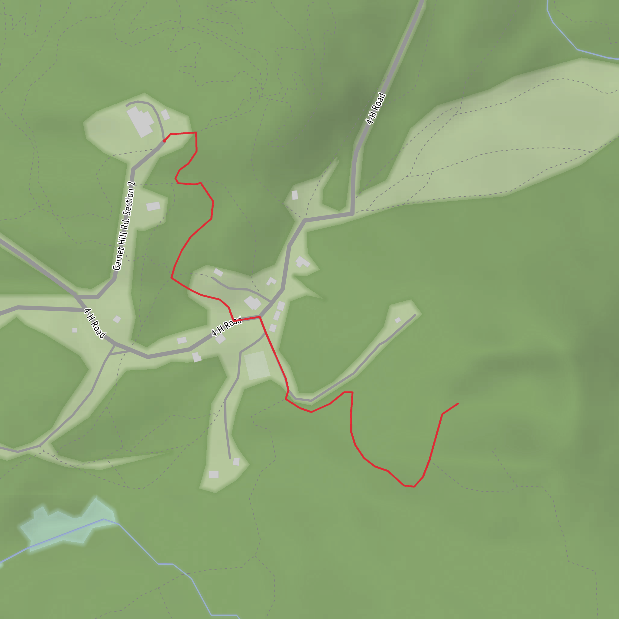
A short, punchy out-and-back like this (about 2 km / 1.2 mi with roughly 100 m / 330 ft of climbing) tends to feel “Medium” not because it’s long, but because the grade can come at you quickly and the footing near old mine workings is often uneven. Plan for a steady uphill on the way out, then a careful descent back to the trailhead.
Getting to the start (car + public transport)
Because the start location is listed only as “near” (no coordinates or town/state provided), I can’t reliably convert the lon/lat to a nearest address or landmark yet. If you share the trailhead coordinates (or even a Google Maps pin), I’ll translate them into the closest known road access point / landmark and tailor the directions precisely.
For now, here’s the most practical approach that works for most small mine-trail access points:
- By car: Expect a short approach on a local paved road followed by a gravel/dirt spur to a small pull-off. Many garnet mine trailheads have informal parking (room for a few vehicles) rather than a signed lot. Arrive early on weekends to avoid having to park farther away and add road-walking distance.
- By public transport: These mine access points are often not directly served by transit. The usual strategy is to take the closest bus/train route to the nearest town center, then use a rideshare/taxi for the last few miles/km. If you tell me the nearest town (or provide coordinates), I can outline the most realistic transit-to-rideshare handoff.
What the hike is like (distance, grade, and footing)
From the trailhead, you’ll typically gain elevation quickly: 100 m / 330 ft over ~1 km / 0.6 mi is a noticeable grade (averaging around 10%, though it may come in steeper pitches). The return is the same route back, so the descent is where most people feel the “Medium” rating—loose gravel, small rock steps, and erosion channels can make footing more technical than the numbers suggest.
Expect: - Narrow singletrack or a lightly-used access path that may look like an old work road in places. - Rocky tread near the mine area—often angular fragments and tailings-like gravel. - Short sections where the trail braids into multiple faint paths; keep an eye on your position in HiiKER so you don’t drift onto a dead-end spur.
Landmarks and points of interest
Even on a 2 km / 1.2 mi hike, there are usually a few distinct “chapters”:
- Lower approach (first ~0.5 km / 0.3 mi): Often through mixed scrub/woodland or open slopes, depending on region. This is where you’ll notice the trail surface firmest and the grade most consistent.
- Mid-slope transition (~0.5–1.0 km / 0.3–0.6 mi): The path commonly steepens and becomes rockier. Look for changes in vegetation and exposed stone—these can hint you’re nearing mineralized ground.
- Mine vicinity (around the turnaround, ~1.0 km / 0.6 mi from the start): You may see shallow pits, trenches, spoil piles, or exposed bedrock. Garnet-bearing areas sometimes show dark, dense rock with scattered reddish-brown mineral grains, though visibility varies widely by site and disturbance.
If there are any interpretive signs, fenced openings, or posted claims, treat them as hard boundaries—mine sites can be active, reclaimed, or privately held even when a footpath exists nearby.
Nature, terrain, and wildlife to watch for
Without the exact region, I can’t responsibly name specific species, but mine-adjacent trails commonly share a few patterns:
- Wildlife: You may encounter small mammals and ground-nesting birds; in warmer months, snakes are a common hazard around sun-warmed rock piles. Give any wildlife space—tailings and rock stacks can be den sites.
- Plants: Disturbed ground near old workings often supports hardy pioneer plants and thorny scrub. Long pants can be helpful if the path is narrow or overgrown.
- Seasonal conditions:
- After rain, mine-area soils and gravel can turn slick; the descent can feel much harder than the climb.
- In hot, exposed terrain, this short hike can still be sun-intense—carry water even for 2 km / 1.2 mi.
- After rain, mine-area soils and gravel can turn slick; the descent can feel much harder than the climb.
Safety around mine features (the main “look out for”)
This is the part that most changes how you hike:
- Unstable edges: Old pits and trenches can have undercut rims. Stay back from drop-offs, especially where vegetation hides the edge.
- Loose rock: Spoil piles can shift underfoot. Step deliberately and avoid climbing directly on steep tailings.
- Hidden openings: Some mine areas have partially collapsed shafts/adits. If you see fencing, cables, or warning signs, don’t bypass them.
- Rock collecting etiquette: If collecting is allowed at all (varies by land status), keep it minimal and never dig into walls or unstable faces. Many sites prohibit removal entirely.
Historical significance (why garnet mines exist here)
Garnet mines typically developed where local geology concentrates garnet in metamorphic rocks (often schists/gneisses) or in garnet-rich zones that were practical to extract. Historically, garnet has been valued for: - Abrasives (industrial use—sandpaper, waterjet cutting media, etc.) - **Gem
Surfaces
Ground
Unpaved
Unknown
Comments and Reviews
User comments, reviews and discussions about the Hooper Garnet Mine, New York.
average rating out of 5
0 rating(s)
