Download
3D Flyover
Add to list
More
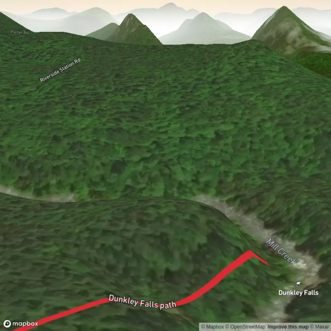
353 m
~4 min
6 m
Out and Back
“A waterfall adventure waits—share the trailhead details so your route isn’t lost in the mist.”
I’m missing the key location details needed to describe and plan this hike accurately. Right now the hike info shows the trailhead as “near” with no place name, coordinates, park, or country—so I can’t convert the lon/lat to a nearby address/landmark, give correct access directions, or describe the right Dunkley Falls (there are multiple “Dunkley/Dunkeld/Dunkley Falls” place names worldwide).
Send one of the following and I’ll write the full hike description exactly in the style you requested (with km + miles, approximate elevation gain in m + ft, landmarks, nature/wildlife, hazards, historical context, and car/public transport access, referencing HiiKER for navigation):
1) Trailhead coordinates (lat, lon), or
2) A Google Maps link, or
3) The nearest town/park + state/province + country (e.g., “near __, __, USA/Australia/UK”), or
4) A static map image of the route.
If you do have coordinates, paste them like this:
- Start: lat, lon
- End (if different): lat, lon
Also confirm these two details (since “around 0 km / 0 m” usually means a very short lookout path or a mapping placeholder): - Is this a short waterfall viewpoint path (out-and-back), or a loop? - About how long is it really—0.2 km, 0.5 km, 1 km (or “5–10 minutes”)?
Once I have the location, I’ll convert it to the nearest known address/significant landmark and produce the complete hike description.

Surfaces
Ground
Unknown
Comments and Reviews
User comments, reviews and discussions about the Dunkley Falls Path, New York.
average rating out of 5
0 rating(s)